11618 N Mcculloch Rd Syracuse, IN 46567
Estimated Value: $141,000 - $360,000
--
Bed
--
Bath
1,008
Sq Ft
$276/Sq Ft
Est. Value
About This Home
This home is located at 11618 N Mcculloch Rd, Syracuse, IN 46567 and is currently estimated at $278,268, approximately $276 per square foot. 11618 N Mcculloch Rd is a home with nearby schools including Wawasee High School.
Ownership History
Date
Name
Owned For
Owner Type
Purchase Details
Closed on
May 30, 2012
Sold by
Bell Robert
Bought by
Deister E Mark
Current Estimated Value
Purchase Details
Closed on
May 10, 2012
Sold by
Kah Properties Llc
Bought by
Bell Robert
Purchase Details
Closed on
Mar 16, 2012
Sold by
Bell Robert
Bought by
Kah Properties Llc
Purchase Details
Closed on
Jul 15, 2008
Sold by
Wineland Gary R and Keppler Veronica
Bought by
Bell Robert
Create a Home Valuation Report for This Property
The Home Valuation Report is an in-depth analysis detailing your home's value as well as a comparison with similar homes in the area
Home Values in the Area
Average Home Value in this Area
Purchase History
| Date | Buyer | Sale Price | Title Company |
|---|---|---|---|
| Deister E Mark | -- | Metropolitan Title Of In | |
| Bell Robert | -- | None Available | |
| Kah Properties Llc | -- | None Available | |
| Bell Robert | $15,000 | Bodkin Abstract |
Source: Public Records
Tax History Compared to Growth
Tax History
| Year | Tax Paid | Tax Assessment Tax Assessment Total Assessment is a certain percentage of the fair market value that is determined by local assessors to be the total taxable value of land and additions on the property. | Land | Improvement |
|---|---|---|---|---|
| 2024 | $1,927 | $218,400 | $35,500 | $182,900 |
| 2023 | $1,819 | $202,300 | $31,700 | $170,600 |
| 2022 | $1,698 | $185,500 | $31,700 | $153,800 |
| 2021 | $1,244 | $134,600 | $34,700 | $99,900 |
| 2020 | $1,064 | $125,400 | $30,000 | $95,400 |
| 2019 | $1,129 | $118,100 | $28,000 | $90,100 |
| 2018 | $1,089 | $119,300 | $28,000 | $91,300 |
| 2017 | $1,103 | $118,300 | $31,700 | $86,600 |
| 2016 | $975 | $119,900 | $31,700 | $88,200 |
| 2014 | $1,084 | $121,100 | $31,700 | $89,400 |
| 2013 | $1,084 | $113,200 | $23,800 | $89,400 |
Source: Public Records
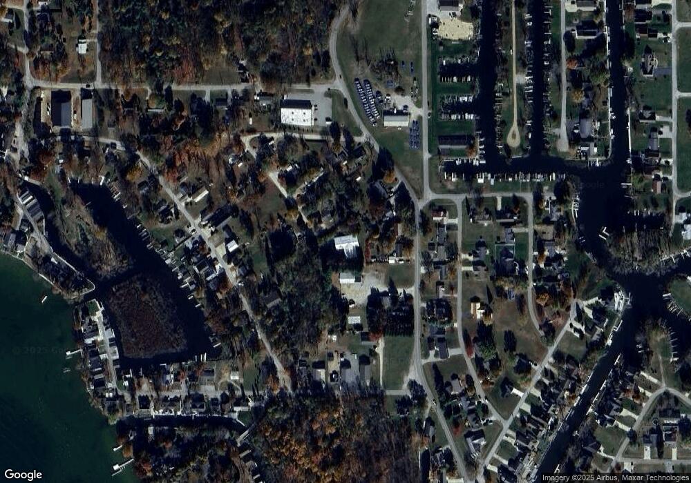
Map
Nearby Homes
- 11523 N Crowdale Dr
- 11425 N Cedar Point High Rd
- 11683 N Black Point Rd
- 11497 N Biscayne Ln
- 11869 N Forest Dr
- 11247 N East Wawasee Dr
- 11227 N East Wawasee Dr
- TBD N Enchanted Forest Ln Unit A8
- 11131 N Wawasee Cir W
- 8217 E Constitution Dr
- 10095 N Turkey Creek Rd Unit 21
- 10454 N 800 E
- 10075 N Turkey Creek Rd
- 10035 N Turkey Creek Rd Unit PIER 343 - UNIT 303
- 10712 N Southshore Dr
- 10660 N Southshore Dr Unit D1
- 10660 N Southshore Dr Unit D3
- 9980 N Marine Key Dr
- 10678 N Brown St
- 9061 E Hatchery Rd
- 11636 N Mcculloch Rd
- TBD N Mcculloch Rd
- 11615 NE Wawasee Dr
- 11633 NE Wawasee Dr
- 11643 NE Wawasee Dr
- 11671 NE Wawasee Dr
- 11656 N Mcculloch Rd
- 11637 N Mcculloch Rd
- 11664 N Mcculloch Rd
- 8947 E Yoland Rd
- 8933 E Yoland Rd
- 11579 NE Wawasee Dr
- 11678 N Mcculloch Rd
- 11633 N Candy Cane Ln
- 11617 N Candy Cane Ln
- 9017 Tiny Tim Ln
- 11578 N Elm Grove Dr
- 11604 NE Wawasee Dr
- 9017 E Tiny Tim Dr
- 11585 N Candy Cane Ln