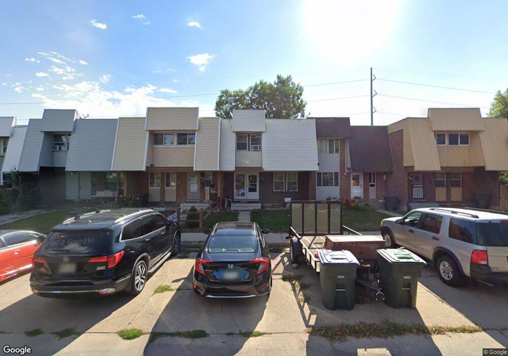
11618 Pearl St Northglenn, CO 80233
Estimated Value: $368,000 - $400,000
3
Beds
4
Baths
1,995
Sq Ft
$194/Sq Ft
Est. Value
About This Home
This home is located at 11618 Pearl St, Northglenn, CO 80233 and is currently estimated at $387,505, approximately $194 per square foot. 11618 Pearl St is a home located in Adams County with nearby schools including Stukey Elementary School, Northglenn Middle School, and Thornton High School.
Ownership History
Date
Name
Owned For
Owner Type
Purchase Details
Closed on
Jul 8, 2014
Sold by
Hinkson Ralph H and Hinkson Josephine A
Bought by
Kessler Angela L
Current Estimated Value
Home Financials for this Owner
Home Financials are based on the most recent Mortgage that was taken out on this home.
Original Mortgage
$162,011
Outstanding Balance
$125,497
Interest Rate
4.62%
Mortgage Type
FHA
Estimated Equity
$262,008
Purchase Details
Closed on
Sep 23, 1996
Sold by
Hinkson Josephine A and Hinkson Ralph H
Bought by
Hinkson Ralph H and Hinkson Josephine A
Create a Home Valuation Report for This Property
The Home Valuation Report is an in-depth analysis detailing your home's value as well as a comparison with similar homes in the area
Home Values in the Area
Average Home Value in this Area
Purchase History
| Date | Buyer | Sale Price | Title Company |
|---|---|---|---|
| Kessler Angela L | $165,000 | Fidelity National Title Ins | |
| Hinkson Ralph H | -- | -- |
Source: Public Records
Mortgage History
| Date | Status | Borrower | Loan Amount |
|---|---|---|---|
| Open | Kessler Angela L | $162,011 |
Source: Public Records
Tax History Compared to Growth
Tax History
| Year | Tax Paid | Tax Assessment Tax Assessment Total Assessment is a certain percentage of the fair market value that is determined by local assessors to be the total taxable value of land and additions on the property. | Land | Improvement |
|---|---|---|---|---|
| 2024 | $2,666 | $21,510 | $4,630 | $16,880 |
| 2023 | $2,642 | $26,050 | $3,450 | $22,600 |
| 2022 | $2,403 | $19,030 | $3,540 | $15,490 |
| 2021 | $2,482 | $19,030 | $3,540 | $15,490 |
| 2020 | $2,772 | $21,700 | $3,650 | $18,050 |
| 2019 | $2,774 | $21,700 | $3,650 | $18,050 |
| 2018 | $1,889 | $14,400 | $1,080 | $13,320 |
| 2017 | $1,738 | $14,400 | $1,080 | $13,320 |
| 2016 | $1,323 | $10,700 | $1,190 | $9,510 |
| 2015 | $1,321 | $10,700 | $1,190 | $9,510 |
| 2014 | -- | $8,100 | $1,190 | $6,910 |
Source: Public Records
Map
Nearby Homes
- 860 Dean Dr
- 11718 Keough Dr
- 11681 Logan St
- 11502 Carlile St
- 11723 Quam Dr
- 11840 Clarkson Ct
- 11816 Spring Dr
- 11584 Community Center Dr Unit 71
- 11675 Fowler Dr
- 1469 Dean Dr
- 1081 E 119th Place
- 11855 Humboldt Dr
- 500 E 111th Place
- 380 E 111th Place
- 11882 Irma Dr
- 11932 Irma Dr
- 1731 E 114th Place
- 11068 Ogden St
- 11360 Irma Dr
- 11815 High St
- 11614 Pearl St
- 11622 Pearl St
- 11626 Pearl St
- 11610 Pearl St
- 11630 Pearl St
- 11638 Pearl St
- 640 E 116th Ave
- 11640 Pearl St
- 632 E 116th Ave
- 11642 Pearl St
- 624 E 116th Ave
- 11644 Pearl St
- 11641 Pearl St
- 616 E 116th Ave
- 11643 Pearl St
- 720 Phillips Dr
- 608 E 116th Ave
- 11645 Pearl St
- 11648 Pearl St
- 721 Phillips Dr