1162 N 725 W Centerville, UT 84014
Estimated Value: $432,786 - $462,000
2
Beds
2
Baths
1,617
Sq Ft
$275/Sq Ft
Est. Value
About This Home
This home is located at 1162 N 725 W, Centerville, UT 84014 and is currently estimated at $445,197, approximately $275 per square foot. 1162 N 725 W is a home located in Davis County with nearby schools including Stewart Elementary School, Centerville Jr High, and Viewmont High School.
Ownership History
Date
Name
Owned For
Owner Type
Purchase Details
Closed on
Jul 28, 2020
Sold by
Eager James L
Bought by
Larsen James S and Shea Amanda C
Current Estimated Value
Home Financials for this Owner
Home Financials are based on the most recent Mortgage that was taken out on this home.
Original Mortgage
$265,500
Outstanding Balance
$235,428
Interest Rate
3.1%
Mortgage Type
New Conventional
Estimated Equity
$209,769
Purchase Details
Closed on
Dec 13, 2017
Sold by
Beardall Melanie Susan
Bought by
Eagar James L
Home Financials for this Owner
Home Financials are based on the most recent Mortgage that was taken out on this home.
Original Mortgage
$87,335
Interest Rate
3.94%
Mortgage Type
New Conventional
Purchase Details
Closed on
Oct 5, 1998
Sold by
Bradley Gene M
Bought by
Bradley Gene M and Gene M Bradley Living Trust
Create a Home Valuation Report for This Property
The Home Valuation Report is an in-depth analysis detailing your home's value as well as a comparison with similar homes in the area
Purchase History
We collect this data history from publicly available records. To have your information removed, we recommend requesting removal directly through your county’s website.
| Date | Buyer | Sale Price | Title Company |
|---|---|---|---|
| Larsen James S | -- | Title Guarantee Rive | |
| Eagar James L | -- | North American Title | |
| Bradley Gene M | -- | -- |
Source: Public Records
Mortgage History
We collect this data history from publicly available records. To have your information removed, we recommend requesting removal directly through your county’s website.
| Date | Status | Borrower | Loan Amount |
|---|---|---|---|
| Open | Larsen James S | $265,500 | |
| Previous Owner | Eagar James L | $87,335 |
Source: Public Records
Tax History
| Year | Tax Paid | Tax Assessment Tax Assessment Total Assessment is a certain percentage of the fair market value that is determined by local assessors to be the total taxable value of land and additions on the property. | Land | Improvement |
|---|---|---|---|---|
| 2025 | $2,882 | $230,450 | $72,050 | $158,400 |
| 2024 | $2,711 | $227,700 | $55,000 | $172,700 |
| 2023 | $2,709 | $412,000 | $98,000 | $314,000 |
| 2022 | $2,680 | $228,800 | $52,800 | $176,000 |
| 2021 | $2,135 | $288,000 | $69,000 | $219,000 |
| 2020 | $1,737 | $250,000 | $64,500 | $185,500 |
| 2019 | $1,733 | $244,000 | $62,000 | $182,000 |
| 2018 | $1,557 | $216,000 | $58,000 | $158,000 |
| 2016 | $1,294 | $100,320 | $19,800 | $80,520 |
| 2015 | $1,236 | $90,310 | $19,800 | $70,510 |
| 2014 | $1,252 | $93,785 | $18,333 | $75,452 |
| 2013 | -- | $98,335 | $20,900 | $77,435 |
Source: Public Records
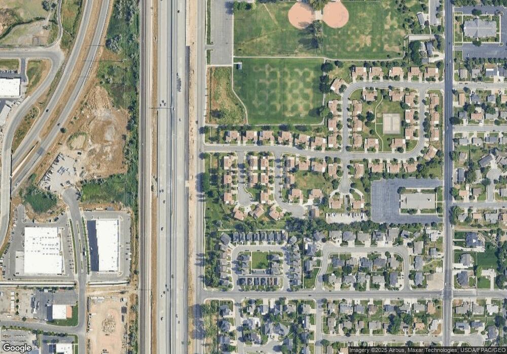
Map
Nearby Homes
- 1171 N 725 W
- 732 W 1175 N
- 1166 N 700 W
- 371 W 1125 N
- 914 N 400 W
- 1333 W 1275 N Unit 3
- 1357 W 1275 N Unit 4
- 271 Brookfield Ln
- 257 W 1125 N
- 290 W 1350 N
- 523 Mountain View Rd
- 527 W 620 N Unit 133
- 165 W Pheasantbrook Dr
- 507 W 620 N
- 1549 N 400 W
- 281 W 650 N Unit B
- 66 Brookside Ln
- 282 W 605 N Unit A
- 282 W 605 N Unit I
- 1167 Deerfield Dr
Your Personal Tour Guide
Ask me questions while you tour the home.