1162 Pot Leg Rd Waynesville, NC 28785
Estimated Value: $276,000 - $360,000
2
Beds
1
Bath
720
Sq Ft
$424/Sq Ft
Est. Value
About This Home
This home is located at 1162 Pot Leg Rd, Waynesville, NC 28785 and is currently estimated at $305,333, approximately $424 per square foot. 1162 Pot Leg Rd is a home located in Haywood County with nearby schools including Jonathan Valley Elementary School, Waynesville Middle, and Tuscola High.
Ownership History
Date
Name
Owned For
Owner Type
Purchase Details
Closed on
Jul 20, 2006
Sold by
Campbell James R and Campbell Linda L
Bought by
Hendricks David Adam and Hendricks Tina Campbell
Current Estimated Value
Home Financials for this Owner
Home Financials are based on the most recent Mortgage that was taken out on this home.
Original Mortgage
$110,000
Outstanding Balance
$7,986
Interest Rate
6.54%
Mortgage Type
Construction
Estimated Equity
$297,347
Purchase Details
Closed on
Oct 6, 1970
Bought by
Campbell James R and Campbell Linda
Create a Home Valuation Report for This Property
The Home Valuation Report is an in-depth analysis detailing your home's value as well as a comparison with similar homes in the area
Home Values in the Area
Average Home Value in this Area
Purchase History
| Date | Buyer | Sale Price | Title Company |
|---|---|---|---|
| Hendricks David Adam | -- | None Available | |
| Campbell James R | -- | -- |
Source: Public Records
Mortgage History
| Date | Status | Borrower | Loan Amount |
|---|---|---|---|
| Open | Hendricks David Adam | $110,000 |
Source: Public Records
Tax History Compared to Growth
Tax History
| Year | Tax Paid | Tax Assessment Tax Assessment Total Assessment is a certain percentage of the fair market value that is determined by local assessors to be the total taxable value of land and additions on the property. | Land | Improvement |
|---|---|---|---|---|
| 2025 | -- | $88,900 | $33,500 | $55,400 |
| 2024 | $710 | $88,900 | $33,500 | $55,400 |
| 2023 | $710 | $88,900 | $33,500 | $55,400 |
| 2022 | $697 | $88,900 | $33,500 | $55,400 |
| 2021 | $697 | $88,900 | $33,500 | $55,400 |
| 2020 | $667 | $77,500 | $33,500 | $44,000 |
| 2019 | $672 | $77,500 | $33,500 | $44,000 |
| 2018 | $672 | $77,500 | $33,500 | $44,000 |
| 2017 | $672 | $77,500 | $0 | $0 |
| 2016 | $686 | $82,100 | $0 | $0 |
| 2015 | $686 | $82,100 | $0 | $0 |
| 2014 | $594 | $82,100 | $0 | $0 |
Source: Public Records
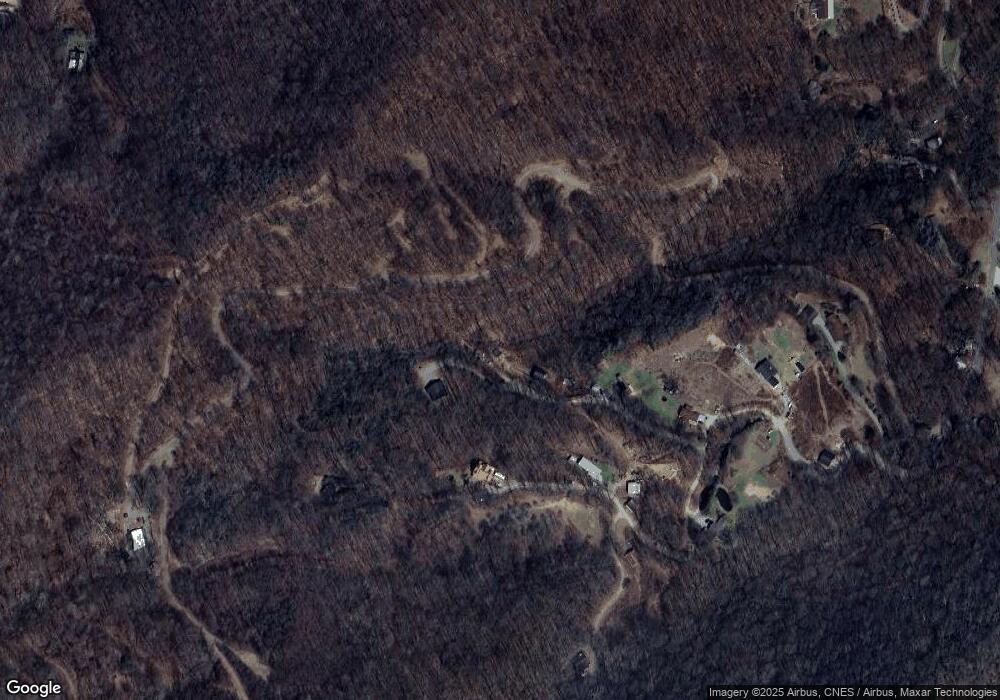
Map
Nearby Homes
- 8 Lots Frontier Way
- 31 Windsong Dr
- 000 Songbird Trail
- 00 Shady Rest Dr Unit 37
- 3 Michael Dr Unit 3
- 269 Oakstone Dr
- 367 Biodome Dr
- 59 Lost Cove Rd
- 000 Roaring Creek Ln
- 505 Middle Top Loop
- 110 Clear Creek Ln
- 114 Clear Creek Ln
- 4 Roaring Creek Ln
- 575 Twin Brook Dr
- 574 Leatherwood Dr
- 00 Ellenberger Dr Unit 401
- 287 Leatherwood Rd
- 61 Calm Creek Rd
- 11 Prosperity Ridge
- 806 Twin Brook Dr Unit 6A,6B,7A,7B
- 1118 Pot Leg Rd
- 1181 Pot Leg Rd
- 156 Steep Hill Rd
- 9999 Frontier Way Unit 7
- 1050 Pot Leg Rd
- 8.82 Acres Off Frontier Way
- Pot Leg Rd
- 000 Pot Leg Rd
- 00 Pot Leg Rd
- 1011 Pot Leg Rd
- 80 Pot Leg Rd
- Lots 101, 102, 103,1 Frontier Way
- 924 Pot Leg Rd
- 75 Steep Hill Rd
- 824 Pot Leg Rd
- 692 Pot Leg Rd
- 112 Windsong Dr
- 740 Pot Leg Rd
- 680 Pot Leg Rd
- 775 Pot Leg Rd