1162 Reid Chapman Rd Murrayville, GA 30564
Murrayville NeighborhoodEstimated Value: $164,000 - $593,000
--
Bed
1
Bath
1,500
Sq Ft
$213/Sq Ft
Est. Value
About This Home
This home is located at 1162 Reid Chapman Rd, Murrayville, GA 30564 and is currently estimated at $319,292, approximately $212 per square foot. 1162 Reid Chapman Rd is a home located in Lumpkin County with nearby schools including Clay County Middle School and Lumpkin County High School.
Ownership History
Date
Name
Owned For
Owner Type
Purchase Details
Closed on
Jun 8, 2018
Sold by
Christian Ida
Bought by
Roy
Current Estimated Value
Purchase Details
Closed on
Sep 28, 2006
Sold by
Not Provided
Bought by
Christian Ida T
Purchase Details
Closed on
Dec 15, 2000
Sold by
Gooch Ray Neal
Bought by
Miller Myra
Purchase Details
Closed on
Feb 24, 2000
Sold by
Christian Roy Lee
Bought by
Christian Ida T
Purchase Details
Closed on
Apr 16, 1991
Sold by
Miller Myra
Bought by
Christian Roy Lee
Purchase Details
Closed on
Nov 16, 1990
Sold by
Miller Myra
Bought by
Miller Myra
Purchase Details
Closed on
Jul 17, 1989
Sold by
Miller Myra
Bought by
Miller Myra
Create a Home Valuation Report for This Property
The Home Valuation Report is an in-depth analysis detailing your home's value as well as a comparison with similar homes in the area
Home Values in the Area
Average Home Value in this Area
Purchase History
| Date | Buyer | Sale Price | Title Company |
|---|---|---|---|
| Roy | -- | -- | |
| Christian Ida T | -- | -- | |
| Miller Myra | -- | -- | |
| Christian Ida T | -- | -- | |
| Christian Roy Lee | $20,000 | -- | |
| Miller Myra | -- | -- | |
| Miller Myra | -- | -- |
Source: Public Records
Tax History Compared to Growth
Tax History
| Year | Tax Paid | Tax Assessment Tax Assessment Total Assessment is a certain percentage of the fair market value that is determined by local assessors to be the total taxable value of land and additions on the property. | Land | Improvement |
|---|---|---|---|---|
| 2024 | $1,756 | $74,652 | $43,826 | $30,826 |
| 2023 | $1,620 | $68,891 | $39,784 | $29,107 |
| 2022 | $1,506 | $60,845 | $33,153 | $27,692 |
| 2021 | $1,469 | $57,374 | $33,153 | $24,221 |
| 2020 | $1,463 | $55,475 | $31,769 | $23,706 |
| 2019 | $29 | $55,475 | $31,769 | $23,706 |
| 2018 | $31 | $53,461 | $31,769 | $21,692 |
| 2017 | $31 | $54,833 | $31,769 | $23,064 |
| 2016 | $1,474 | $52,599 | $31,769 | $20,830 |
| 2015 | -- | $52,599 | $31,769 | $20,830 |
| 2014 | -- | $53,234 | $31,769 | $21,464 |
| 2013 | -- | $0 | $0 | $0 |
Source: Public Records
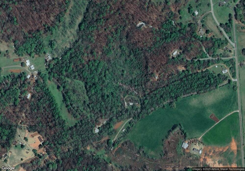
Map
Nearby Homes
- 12 Katydid Ln
- 6.2 Mincey Acres Dr
- 3.65 Ac Emory Stephens Rd
- 3.65AC Emory Stephens Rd
- 23.86 Acres Mincie Mountain
- 20.65 Acres Mincie Mountain
- 42.65 Acres Mincie Mountain
- 600 Chapman Ridge Ln
- 500 Chapman Ridge Ln
- 27.68 Chapman Ridge Ln
- 100 Rocky Branch Dr
- 132 Wauka Mountain Rd
- 0 Roseberry Ln
- 0 Wauka Ridge Rd
- LOT 34 Wauka Ridge Rd
- 966 Wahoo Creek Rd
- 86.99 Acres Mincie Mountain
- 1162 Reid Chapman Rd
- 1481 Reid Chapman Rd
- 195 Hidden Acres Dr
- 249 Hidden Acres Dr
- 194 Hidden Acres Dr
- 927 Reid Chapman Rd
- 2772 Post White Hill Rd
- 2772 Post White Hill Rd
- 1489 Reid Chapman Rd
- 2636 Post White Hill Rd
- 2634 Post White Hill Rd
- 118 Rocky Branch Dr E
- 472 Amanda Dr
- 3512 Post White Hill Rd
- 300 Amanda Dr
- 2226 Emory Stephens Rd
- 3518 Post White Hill Rd
- 798 Reid Chapman Rd
- 2620 Post White Hill Rd
- 288 Amanda Dr