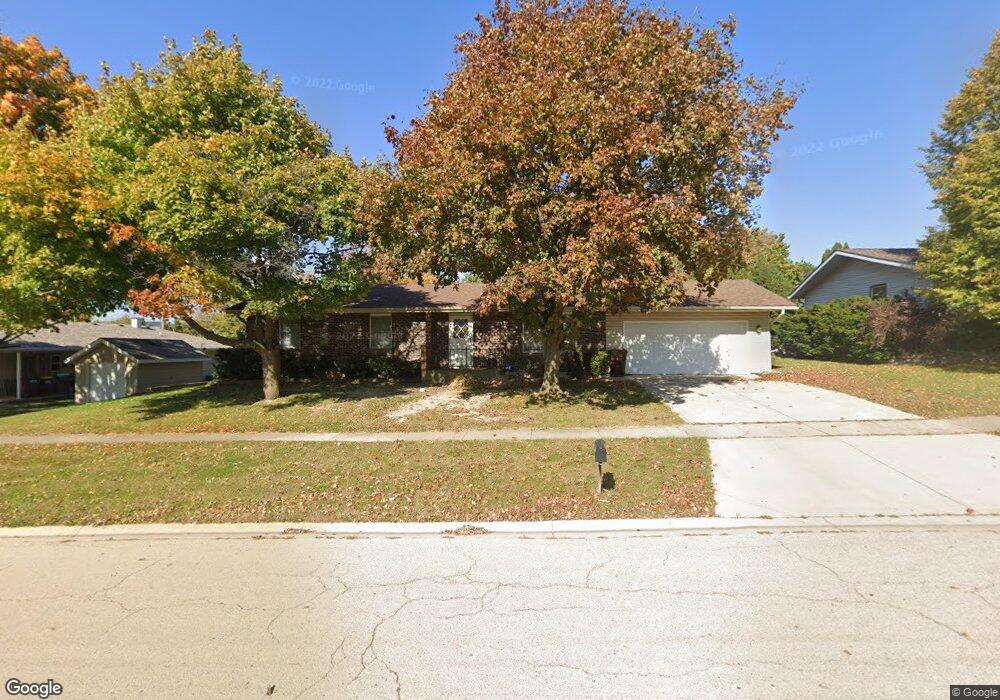
11620 Bernice Ave Huntley, IL 60142
Estimated Value: $331,000 - $355,000
About This Home
This home is located at 11620 Bernice Ave, Huntley, IL 60142 and is currently estimated at $338,685, approximately $253 per square foot. 11620 Bernice Ave is a home located in McHenry County with nearby schools including Martin Elementary School, Chesak Elementary School, and Marlowe Middle School.
Ownership History
We collect this data history from publicly available records. To have your information removed, we recommend requesting removal directly through your county’s website.
Purchase Details
Home Financials for this Owner
Home Financials are based on the most recent Mortgage that was taken out on this home.Home Values in the Area
Average Home Value in this Area
Purchase History
We collect this data history from publicly available records. To have your information removed, we recommend requesting removal directly through your county’s website.
| Date | Buyer | Sale Price | Title Company |
|---|---|---|---|
| $196,500 | Chicago Title Insurance Co |
Mortgage History
We collect this data history from publicly available records. To have your information removed, we recommend requesting removal directly through your county’s website.
| Date | Status | Borrower | Loan Amount |
|---|---|---|---|
| Open | $189,297 |
Tax History
We collect this data history from publicly available records. To have your information removed, we recommend requesting removal directly through your county’s website.
| Year | Tax Paid | Tax Assessment Tax Assessment Total Assessment is a certain percentage of the fair market value that is determined by local assessors to be the total taxable value of land and additions on the property. | Land | Improvement |
|---|---|---|---|---|
| 2024 | $5,789 | $89,512 | $11,644 | $77,868 |
| 2023 | $5,605 | $80,410 | $10,460 | $69,950 |
| 2022 | $5,379 | $73,220 | $9,525 | $63,695 |
| 2021 | $5,207 | $68,959 | $8,971 | $59,988 |
| 2020 | $5,115 | $67,120 | $8,732 | $58,388 |
| 2019 | $4,991 | $65,406 | $8,509 | $56,897 |
| 2018 | $4,709 | $61,326 | $9,575 | $51,751 |
| 2017 | $4,603 | $57,795 | $9,024 | $48,771 |
| 2016 | $4,635 | $54,949 | $8,580 | $46,369 |
| 2013 | -- | $49,574 | $14,811 | $34,763 |
Map
- 0000 Route 47
- 10809 N Church St
- Lot 3 Ryann Rd
- 10888 Harry Dr Unit 18
- 11417 Russell Dr Unit 1
- 11194 Algonquin Rd
- Lot 1 Ryann Rd
- 10079 Cummings St Unit 203
- 12390 Oakcrest Dr
- 60.8 Main St
- 11965 Brunschon Ln
- 11149 Douglas Ave Unit 11149
- 9910 Williams Dr Unit 51-02
- 11002 Janice Dr
- 10009 Cummings St Unit 703
- 10003 Cummings St
- 11115 Douglas Ave Unit 11115
- 11291 Donald Dr
- 10977 Greywall Ln
- 0 Ruth Rd Unit MRD12258953
- 11616 Bernice Ave
- 10508 N Church St
- 11617 Edward Ave
- 11615 Edward Ave
- 11612 Bernice Ave
- 11617 Bernice Ave
- 10502 N Church St
- 11615 Bernice Ave
- 10503 N Church St Unit 10505
- 10507 N Church St
- 10501 Cindy jo Ave
- 11611 Bernice Ave
- 10507 Cindy jo Ave
- 10517 N Church St
- 10515 N Church St
- 11618 Edward Ave
- 10513 Cindy jo Ave
- 10519 N Church St
- 11616 Edward Ave
- 10412 N Church St
Ask me questions while you tour the home.