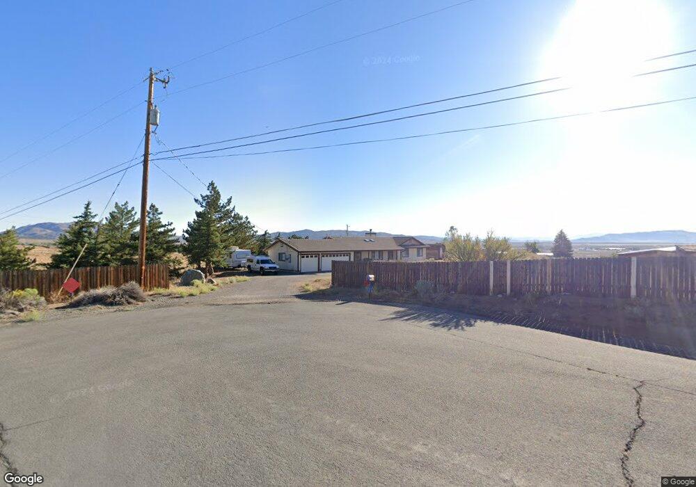
11620 Carlsbad Rd Reno, NV 89508
Stead NeighborhoodEstimated Value: $550,235 - $637,000
3
Beds
2
Baths
1,612
Sq Ft
$365/Sq Ft
Est. Value
About This Home
This home is located at 11620 Carlsbad Rd, Reno, NV 89508 and is currently estimated at $587,809, approximately $364 per square foot. 11620 Carlsbad Rd is a home located in Washoe County with nearby schools including Desert Heights Elementary School, Cold Springs Middle Schools, and North Valleys High School.
Ownership History
Date
Name
Owned For
Owner Type
Purchase Details
Closed on
Aug 6, 2025
Sold by
Smith Dewey R and Smith Sharon K
Bought by
Smith Family Trust and Smith
Current Estimated Value
Purchase Details
Closed on
Feb 24, 1997
Sold by
Stroup Paul M
Bought by
Smith Dewey R and Smith Sharon K
Home Financials for this Owner
Home Financials are based on the most recent Mortgage that was taken out on this home.
Original Mortgage
$179,367
Interest Rate
7.86%
Mortgage Type
VA
Create a Home Valuation Report for This Property
The Home Valuation Report is an in-depth analysis detailing your home's value as well as a comparison with similar homes in the area
Home Values in the Area
Average Home Value in this Area
Purchase History
| Date | Buyer | Sale Price | Title Company |
|---|---|---|---|
| Smith Family Trust | -- | None Listed On Document | |
| Smith Dewey R | $176,000 | Stewart Title |
Source: Public Records
Mortgage History
| Date | Status | Borrower | Loan Amount |
|---|---|---|---|
| Previous Owner | Smith Dewey R | $179,367 |
Source: Public Records
Tax History Compared to Growth
Tax History
| Year | Tax Paid | Tax Assessment Tax Assessment Total Assessment is a certain percentage of the fair market value that is determined by local assessors to be the total taxable value of land and additions on the property. | Land | Improvement |
|---|---|---|---|---|
| 2025 | $2,102 | $92,128 | $42,000 | $50,128 |
| 2024 | $2,042 | $93,221 | $42,000 | $51,221 |
| 2023 | $2,042 | $90,925 | $42,000 | $48,925 |
| 2022 | $1,982 | $74,388 | $33,250 | $41,138 |
| 2021 | $1,925 | $63,757 | $22,400 | $41,357 |
| 2020 | $1,867 | $64,146 | $22,400 | $41,746 |
| 2019 | $1,812 | $62,863 | $22,820 | $40,043 |
| 2018 | $1,760 | $56,192 | $16,660 | $39,532 |
| 2017 | $1,708 | $55,656 | $15,750 | $39,906 |
| 2016 | $1,665 | $55,345 | $14,315 | $41,030 |
| 2015 | $415 | $53,664 | $12,355 | $41,309 |
| 2014 | $1,613 | $51,184 | $10,955 | $40,229 |
| 2013 | -- | $48,340 | $8,470 | $39,870 |
Source: Public Records
Map
Nearby Homes
- 10150 Coyote Run Ct
- 10035 Osage Rd
- 11150 Carlsbad Rd
- 10725 Santa fe Rd
- 10300 Sutters Mill Ln
- 00 Plata Mesa Dr
- 10605 Osage Rd
- 10705 Silver Spur Dr
- 8350 Osage Rd
- 13790 Mount Babcock St
- 13440 Fort Sage Ct
- 13631 Mount Rainier St
- 13630 Mount Whitney St
- 13250 Rolling Sage Place
- 14405 Durham Dr
- 14388 Durham Dr
- 17350 Aquamarine Dr
- 14345 Murdoch Dr
- 14390 Loyola Dr
- 0 N Red Rock Rd Unit 250000494
- 11604 Carlsbad Rd
- 11655 Summertime Ln
- 11603 Carlsbad Rd
- 11605 Summertime Ln
- 11305 Deadwood Dr
- 10730 Summertime Ln
- 11500 Carlsbad Rd
- 10240 Deadwood Dr
- 11555 Deadwood Dr
- 10405 Deadwood Dr
- 11595 Carlsbad Rd
- 10160 Blackhawk Dr
- 11340 Deadwood Dr
- 10285 Shiloh Dr
- 10180 Deadwood Dr
- 11505 Carlsbad Rd
- 11604 Deadwood Dr
- 10205 Shiloh Dr
- 10140 Blackhawk Dr
- 11000 Carlsbad Rd