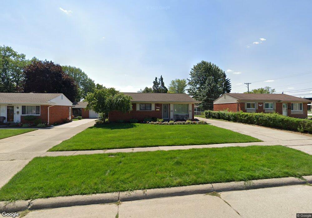
11620 Dart Dr Sterling Heights, MI 48313
Estimated Value: $226,555 - $278,000
--
Bed
--
Bath
925
Sq Ft
$276/Sq Ft
Est. Value
About This Home
This home is located at 11620 Dart Dr, Sterling Heights, MI 48313 and is currently estimated at $254,889, approximately $275 per square foot. 11620 Dart Dr is a home located in Macomb County with nearby schools including Dekeyser Elementary School, Davis Junior High School, and Adlai Stevenson High School.
Ownership History
Date
Name
Owned For
Owner Type
Purchase Details
Closed on
Jul 22, 2021
Sold by
Seguin Nicole
Bought by
Seguin Nicole and Seguin Nichole A
Current Estimated Value
Purchase Details
Closed on
Sep 25, 2017
Sold by
Lee Kevin and Lee Cynthia K
Bought by
Seguin Nichole
Home Financials for this Owner
Home Financials are based on the most recent Mortgage that was taken out on this home.
Original Mortgage
$157,100
Outstanding Balance
$131,468
Interest Rate
3.89%
Mortgage Type
New Conventional
Estimated Equity
$123,421
Create a Home Valuation Report for This Property
The Home Valuation Report is an in-depth analysis detailing your home's value as well as a comparison with similar homes in the area
Home Values in the Area
Average Home Value in this Area
Purchase History
| Date | Buyer | Sale Price | Title Company |
|---|---|---|---|
| Seguin Nicole | -- | None Available | |
| Seguin Nichole | $162,000 | None Available |
Source: Public Records
Mortgage History
| Date | Status | Borrower | Loan Amount |
|---|---|---|---|
| Open | Seguin Nichole | $157,100 |
Source: Public Records
Tax History Compared to Growth
Tax History
| Year | Tax Paid | Tax Assessment Tax Assessment Total Assessment is a certain percentage of the fair market value that is determined by local assessors to be the total taxable value of land and additions on the property. | Land | Improvement |
|---|---|---|---|---|
| 2025 | $3,283 | $126,900 | $0 | $0 |
| 2024 | $3,002 | $120,800 | $0 | $0 |
| 2023 | $2,954 | $109,800 | $0 | $0 |
| 2022 | $2,954 | $98,400 | $0 | $0 |
| 2021 | $2,893 | $93,600 | $0 | $0 |
| 2020 | $2,581 | $85,000 | $0 | $0 |
| 2019 | $2,520 | $78,000 | $0 | $0 |
| 2018 | $2,676 | $68,600 | $0 | $0 |
| 2017 | $2,472 | $65,000 | $13,500 | $51,500 |
| 2016 | $2,520 | $65,000 | $0 | $0 |
| 2015 | -- | $60,800 | $0 | $0 |
| 2014 | -- | $52,000 | $0 | $0 |
Source: Public Records
Map
Nearby Homes
- 11406 Plumridge Blvd
- 39839 Utica Rd
- 39421 Farmhill Dr
- 39846 Karola Dr
- 39123 Boston Dr
- 39044 Dodge Park Rd
- 39239 Chantilly Dr
- 39275 Della Rosa Dr
- 11118 Plumridge Blvd
- 39400 Utica Rd
- 11425 Plumbrook Rd
- 40453 Regency Dr
- 8644 Independence Dr
- 8641 Alwardt Dr
- 13104 Carnaby Ct
- 40560 Regency Dr
- 39517 Balboa Dr
- 12816 Kinlock Dr
- 39856 Parklawn Dr
- 11820 Creekview Dr Unit 54