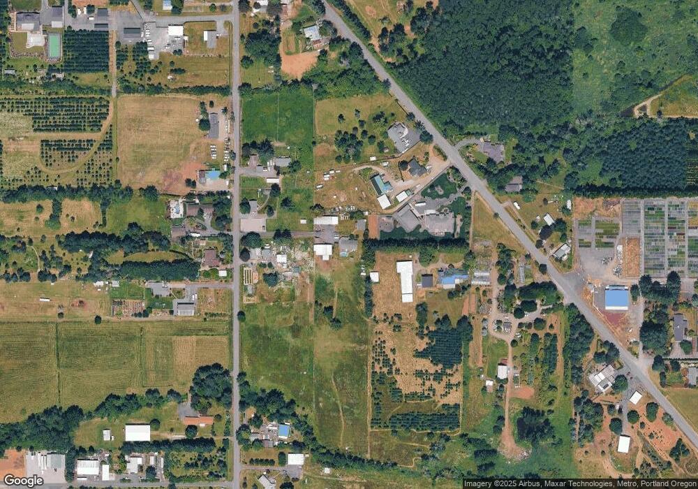
11620 SE 312th Dr Boring, OR 97009
Estimated Value: $799,000 - $903,000
3
Beds
2
Baths
2,368
Sq Ft
$352/Sq Ft
Est. Value
About This Home
This home is located at 11620 SE 312th Dr, Boring, OR 97009 and is currently estimated at $834,426, approximately $352 per square foot. 11620 SE 312th Dr is a home located in Clackamas County with nearby schools including East Orient Elementary School, West Orient Middle School, and Sam Barlow High School.
Ownership History
Date
Name
Owned For
Owner Type
Purchase Details
Closed on
Apr 15, 1996
Sold by
Parrott Bill Wayne and Parrott Ann Elizabeth
Bought by
Thompson Charles E and Thompson Dixie D
Current Estimated Value
Home Financials for this Owner
Home Financials are based on the most recent Mortgage that was taken out on this home.
Original Mortgage
$90,000
Outstanding Balance
$3,815
Interest Rate
7.84%
Estimated Equity
$830,611
Create a Home Valuation Report for This Property
The Home Valuation Report is an in-depth analysis detailing your home's value as well as a comparison with similar homes in the area
Home Values in the Area
Average Home Value in this Area
Purchase History
| Date | Buyer | Sale Price | Title Company |
|---|---|---|---|
| Thompson Charles E | $70,000 | Transnation Title Insurance |
Source: Public Records
Mortgage History
| Date | Status | Borrower | Loan Amount |
|---|---|---|---|
| Open | Thompson Charles E | $90,000 |
Source: Public Records
Tax History Compared to Growth
Tax History
| Year | Tax Paid | Tax Assessment Tax Assessment Total Assessment is a certain percentage of the fair market value that is determined by local assessors to be the total taxable value of land and additions on the property. | Land | Improvement |
|---|---|---|---|---|
| 2025 | $7,574 | $489,192 | -- | -- |
| 2024 | $7,232 | $474,944 | -- | -- |
| 2023 | $7,232 | $461,111 | $0 | $0 |
| 2022 | $6,631 | $447,681 | $0 | $0 |
| 2021 | $6,418 | $434,642 | $0 | $0 |
| 2020 | $6,231 | $421,983 | $0 | $0 |
| 2019 | $6,052 | $409,693 | $0 | $0 |
| 2018 | $5,820 | $397,760 | $0 | $0 |
| 2017 | $5,607 | $386,175 | $0 | $0 |
| 2016 | $4,747 | $374,927 | $0 | $0 |
Source: Public Records
Map
Nearby Homes
- 0 SE Highway 212 Unit 387036591
- 0 SE Highway 212 Unit 523338612
- 11040 SE Mccreary Ln
- 11007 SE Mccreary Ln
- 30425 SE Haley Rd
- 13025 SE Orient Dr Unit 8
- 30174 SE Waybill Rd
- 29630 SE Wheeler Rd
- 13651 SE Orient Dr
- 3564 SW Binford Ave
- 3516 SW Binford Ave
- 33685 SE Kelso Rd
- 35000 SE Bell Maple Dr
- 12275 SE School Ave
- 27665 SE Wally Rd
- 9435 SE 282nd Ave
- 30148 SE Bluff Rd
- 32022 SE Dodge Park Blvd
- 27257 SE Fairmount Dr
- 15550 SE Tickle Creek Rd
- 11642 SE 312th Dr
- 11445 SE Orient Dr
- 11600 SE 312th Dr
- 11555 SE Orient Dr
- 11530 SE 312th Dr
- 11525 SE 312th Ave
- 11651 SE 312th Dr
- 11485 SE Orient Dr
- 11595 SE 312th Dr
- 11335 SE Orient Dr
- 11515 SE 312th Dr
- 11681 SE 312th Dr
- 11830 SE 312th Dr
- 11424 SE Orient Dr
- 11301 SE Orient Dr
- 11605 SE Orient Dr
- 11460 SE Orient Dr
- 11850 SE 312th Dr
- 11225 SE Orient Dr
- 11825 SE 312th Dr
