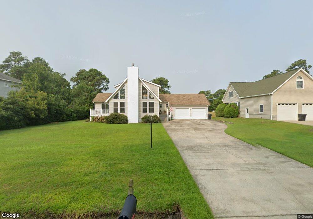
1163 Burnside Rd Unit K4 Manteo, NC 27954
Estimated Value: $474,000 - $616,000
3
Beds
3
Baths
2,122
Sq Ft
$248/Sq Ft
Est. Value
About This Home
This home is located at 1163 Burnside Rd Unit K4, Manteo, NC 27954 and is currently estimated at $525,626, approximately $247 per square foot. 1163 Burnside Rd Unit K4 is a home located in Dare County with nearby schools including Manteo Elementary School, Manteo Middle School, and Manteo High School.
Ownership History
Date
Name
Owned For
Owner Type
Purchase Details
Closed on
Jun 3, 2024
Sold by
Hall Christopher W
Bought by
Dambra Sarah Melissa and Kopp Seth Tyler
Current Estimated Value
Home Financials for this Owner
Home Financials are based on the most recent Mortgage that was taken out on this home.
Original Mortgage
$534,375
Outstanding Balance
$527,659
Interest Rate
7.1%
Mortgage Type
New Conventional
Estimated Equity
-$2,033
Create a Home Valuation Report for This Property
The Home Valuation Report is an in-depth analysis detailing your home's value as well as a comparison with similar homes in the area
Home Values in the Area
Average Home Value in this Area
Purchase History
| Date | Buyer | Sale Price | Title Company |
|---|---|---|---|
| Dambra Sarah Melissa | $562,500 | None Listed On Document |
Source: Public Records
Mortgage History
| Date | Status | Borrower | Loan Amount |
|---|---|---|---|
| Open | Dambra Sarah Melissa | $534,375 |
Source: Public Records
Tax History Compared to Growth
Tax History
| Year | Tax Paid | Tax Assessment Tax Assessment Total Assessment is a certain percentage of the fair market value that is determined by local assessors to be the total taxable value of land and additions on the property. | Land | Improvement |
|---|---|---|---|---|
| 2024 | $1,685 | $304,900 | $67,000 | $237,900 |
| 2023 | $1,668 | $304,900 | $67,000 | $237,900 |
| 2022 | $1,638 | $304,900 | $67,000 | $237,900 |
| 2021 | $1,607 | $304,900 | $67,000 | $237,900 |
| 2020 | $1,603 | $304,900 | $67,000 | $237,900 |
| 2019 | $1,403 | $227,500 | $48,600 | $178,900 |
| 2018 | $1,403 | $227,500 | $48,600 | $178,900 |
| 2017 | $1,403 | $227,500 | $48,600 | $178,900 |
| 2016 | $1,312 | $227,500 | $48,600 | $178,900 |
| 2014 | $1,312 | $227,500 | $48,600 | $178,900 |
Source: Public Records
Map
Nearby Homes
- 1095 Burnside Rd Unit Lot B3
- 1285 Burnside Rd Unit Lot 1
- 1285 Burnside Rd Unit Lot 2
- 1285 Burnside Rd Unit Lot 3
- 1006 Burnside Rd
- 104 Coleman Rd
- 137 Sherwood Dr Unit Lot 58
- 137 Sherwood Dr
- 938 Burnside Rd Unit Lot NA
- 942 Burnside Rd Unit Lot NA
- 717 Fernando St Unit Lot 3
- 501 Dora Dr Unit Lot 26
- 803 Lindsey Ln Unit Lot 40
- 517 Unit 2 Ananias Dare St Unit 2
- 517 Unit 1 Ananias Dare St Unit 1
- 517 Ananias Dare St Unit 4
- 517 Ananias Dare St Unit 3
- 0 Shady Pines Ln Unit Lot 13 128538
- 0 Shady Pines Ln Unit Lot 27 128148
- 1434 /202D Dartmoor Ave Unit 202D
- 1163 Burnside Rd
- 1167 Burnside Rd
- 1159 Burnside Rd
- 122 Bartow Dr
- 1171 Burnside Rd
- 1171 Burnside Rd
- 128 Bartow Dr
- 1155 Burnside Rd
- 114 Bartow Dr Unit K6
- 114 Bartow Dr
- 132 Bartow Dr
- 1151 Burnside Rd
- 1164 Burnside Rd
- 1156 Burnside Rd
- 1177 Burnside Rd
- 1178 Burnside Rd
- 121 Bartow Dr
- 1150 Burnside Rd
- 129 Bartow Dr
- 125 Bartow Dr