11630 Wilder Rd Red Bluff, CA 96080
Estimated Value: $833,224 - $939,000
4
Beds
3
Baths
3,591
Sq Ft
$242/Sq Ft
Est. Value
About This Home
This home is located at 11630 Wilder Rd, Red Bluff, CA 96080 and is currently estimated at $869,075, approximately $242 per square foot. 11630 Wilder Rd is a home located in Tehama County with nearby schools including William M. Metteer Elementary School, Vista Preparatory Academy, and Red Bluff High School.
Ownership History
Date
Name
Owned For
Owner Type
Purchase Details
Closed on
Oct 13, 2022
Sold by
Mason David
Bought by
Mason David
Current Estimated Value
Home Financials for this Owner
Home Financials are based on the most recent Mortgage that was taken out on this home.
Original Mortgage
$611,400
Outstanding Balance
$588,265
Interest Rate
6.02%
Mortgage Type
New Conventional
Estimated Equity
$280,810
Purchase Details
Closed on
Nov 7, 2012
Sold by
Schluter Katherine and Mason Katie
Bought by
Mason David
Create a Home Valuation Report for This Property
The Home Valuation Report is an in-depth analysis detailing your home's value as well as a comparison with similar homes in the area
Purchase History
| Date | Buyer | Sale Price | Title Company |
|---|---|---|---|
| Mason David | -- | Wfg National Title | |
| Mason David | -- | None Available |
Source: Public Records
Mortgage History
| Date | Status | Borrower | Loan Amount |
|---|---|---|---|
| Open | Mason David | $611,400 |
Source: Public Records
Tax History
| Year | Tax Paid | Tax Assessment Tax Assessment Total Assessment is a certain percentage of the fair market value that is determined by local assessors to be the total taxable value of land and additions on the property. | Land | Improvement |
|---|---|---|---|---|
| 2025 | $8,203 | $798,993 | $134,966 | $664,027 |
| 2023 | $8,226 | $798,993 | $134,966 | $664,027 |
| 2022 | $8,335 | $798,993 | $134,966 | $664,027 |
| 2021 | $7,409 | $726,357 | $122,696 | $603,661 |
| 2020 | $6,637 | $631,615 | $106,692 | $524,923 |
| 2019 | $6,485 | $601,538 | $101,611 | $499,927 |
| 2018 | $6,116 | $601,538 | $101,611 | $499,927 |
| 2017 | $5,717 | $546,853 | $92,374 | $454,479 |
| 2016 | $5,183 | $520,812 | $87,975 | $432,837 |
| 2015 | $5,171 | $520,812 | $87,975 | $432,837 |
| 2014 | $4,513 | $452,880 | $76,500 | $376,380 |
Source: Public Records
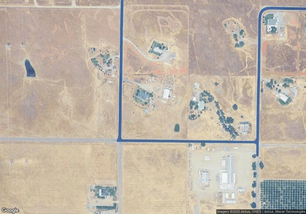
Map
Nearby Homes
- 0 Stewart Rd Unit 20250381
- 0 Stewart Rd Unit 20250380
- 20285 Stewart Rd
- 20225 Stewart Rd
- 20050 Plains Dr
- 0 Shawn Ln
- 12072 Alta Vista Ct
- 19542 Ridge Rd
- 10.04 Vista Way
- 56.19 Vista Way
- 11294 Rawson Rd
- 1235 Britt Ln
- 329 Michael Dr
- 340 Christina Dr
- 1560 Carl Ct
- 1455 Acacia St
- 19235 Ridge Rd
- 12890 Ivy Ln
- 2030 Pebblestone Dr
- 10.94 S Jackson St
- 11630 Wilder Rd
- 11730 Wilder Rd
- 11725 Wilder Rd
- 20590 Stewart Rd
- 11565 Wilder Rd
- 00 Stewart Rd
- Lot B Stewart Rd
- 11665 Paskenta Rd
- 0 Stewart Rd Unit SN18055213
- 0 Stewart Rd Unit 20180225
- 0 Stewart Rd Unit TC200901417
- 0 Stewart Rd Unit TC200901418
- 0 Stewart Rd Unit TC200901575
- 0 Stewart Rd Unit TC200901546
- 0 Stewart Rd Unit TC200901547
- 0 Stewart Rd Unit TC201000234
- 0 Stewart Rd Unit TC201000231
- 0 Stewart Rd Unit TC201000233
- 0 Stewart Rd Unit TC201000232
- 0 Stewart Rd Unit TC12102881
Your Personal Tour Guide
Ask me questions while you tour the home.