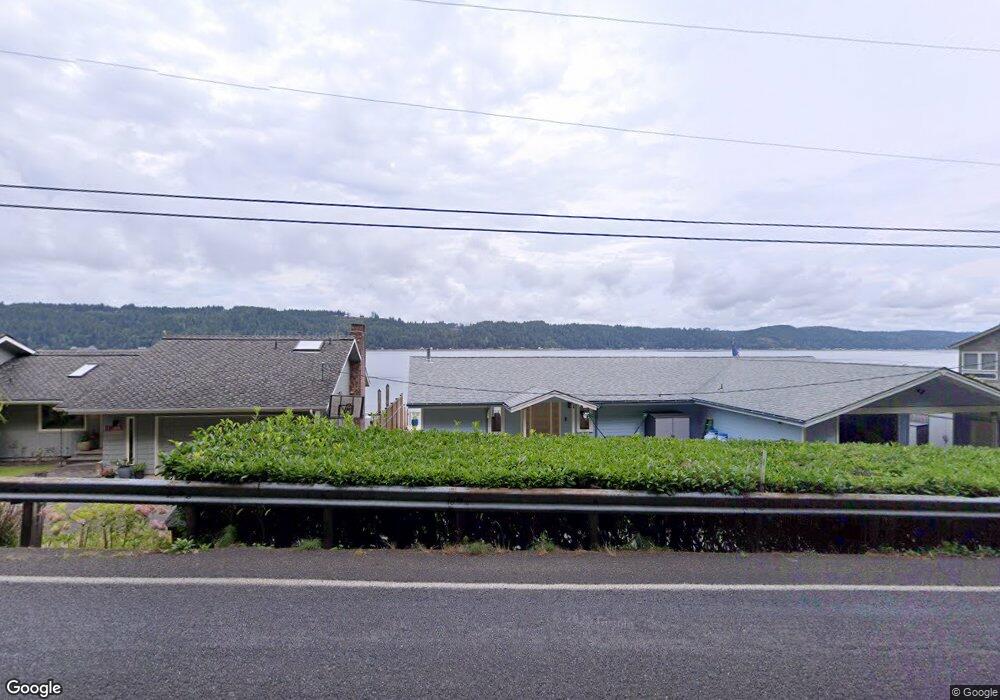
11631 E State Route 106 Belfair, WA 98528
Estimated Value: $432,000 - $1,180,848
2
Beds
2
Baths
1,600
Sq Ft
$562/Sq Ft
Est. Value
About This Home
This home is located at 11631 E State Route 106, Belfair, WA 98528 and is currently estimated at $899,212, approximately $562 per square foot. 11631 E State Route 106 is a home with nearby schools including North Mason Senior High School.
Ownership History
Date
Name
Owned For
Owner Type
Purchase Details
Closed on
Aug 13, 2020
Sold by
Stevens Jr Edward M and Dayton Nannette M
Bought by
Stevens Jr Edward M
Current Estimated Value
Purchase Details
Closed on
Feb 20, 2019
Sold by
Stevens Edward M
Bought by
Stevens Edward M and Will Of Andrienne M Stevens Trust
Purchase Details
Closed on
Mar 8, 2017
Sold by
Stevens Edward M
Bought by
Stevens Edward M
Purchase Details
Closed on
Oct 20, 2016
Sold by
Stevens Edward M
Bought by
Stevens Edward M and Will Of Andrienne M Stevens
Create a Home Valuation Report for This Property
The Home Valuation Report is an in-depth analysis detailing your home's value as well as a comparison with similar homes in the area
Home Values in the Area
Average Home Value in this Area
Purchase History
| Date | Buyer | Sale Price | Title Company |
|---|---|---|---|
| Stevens Jr Edward M | -- | None Available | |
| Stevens Edward M | $620,000 | Chicago Title | |
| Stevens Edward M | -- | None Available | |
| Stevens Edward M | -- | None Available |
Source: Public Records
Tax History Compared to Growth
Tax History
| Year | Tax Paid | Tax Assessment Tax Assessment Total Assessment is a certain percentage of the fair market value that is determined by local assessors to be the total taxable value of land and additions on the property. | Land | Improvement |
|---|---|---|---|---|
| 2025 | $8,780 | $1,091,215 | $210,310 | $880,905 |
| 2024 | $8,780 | $1,214,215 | $210,310 | $1,003,905 |
| 2023 | $6,721 | $804,480 | $360,270 | $444,210 |
| 2022 | $7,607 | $832,950 | $260,275 | $572,675 |
| 2021 | $5,615 | $832,950 | $260,275 | $572,675 |
| 2020 | $6,982 | $627,165 | $247,875 | $379,290 |
| 2018 | $6,780 | $583,275 | $330,500 | $252,775 |
| 2017 | $6,189 | $583,245 | $330,470 | $252,775 |
| 2016 | $7,583 | $544,525 | $314,730 | $229,795 |
| 2015 | $7,755 | $672,580 | $413,850 | $258,730 |
| 2014 | -- | $677,980 | $432,450 | $245,530 |
| 2013 | -- | $656,110 | $418,500 | $237,610 |
Source: Public Records
Map
Nearby Homes
- 10271 NE North Shore Rd
- 40 NE Brook Dr
- 991 NE Hurd Rd
- 121 E Woods Place
- 61 E Woods Place
- 1173 NE Hurd Rd
- 0 NE Hurd Rd Unit NWM2408700
- 62 Southridge Dr
- 361 Southridge Dr
- 110 E Canyon View Rd
- 151 E Hillside Dr
- 0 E Twanoh Heights Rd N Unit NWM2454609
- 40 E Seahawks Way
- 0 E Windstar Rd Unit NWM2436680
- 14103 E State Route 106
- 151 E Kingsley Place
- 14160 Washington 106
- 30 NE Lake Place
- 14341 Washington 106
- 241 NE Lakeshore Dr S
- 11621 E State Route 106
- 11621 Washington 106
- 11601 E State Route 106
- 11661 Washington 106 Unit F
- 11661 Washington 106 Unit G
- 11661 E State Route 106
- 11591 Washington 106
- 11591 E State Route 106
- 11681 E State Route 106
- 11575 E State Route 106
- 11573 E State Route 106
- 11571 E State Route 106
- 11683 E State Route 106
- 11683 St Rte 106
- 11580 E State Route 106
- 11553 E State Route 106
- 11555 E State Route 106
- 11734 E State Route 106
- 11570 E State Route 106
- 11711 E State Route 106