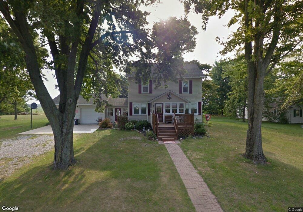
11639 Fruit Ridge Rd Defiance, OH 43512
Estimated Value: $190,000 - $226,000
3
Beds
2
Baths
1,777
Sq Ft
$120/Sq Ft
Est. Value
About This Home
This home is located at 11639 Fruit Ridge Rd, Defiance, OH 43512 and is currently estimated at $213,264, approximately $120 per square foot. 11639 Fruit Ridge Rd is a home located in Defiance County with nearby schools including Ayersville Elementary School and Ayersville High School.
Ownership History
Date
Name
Owned For
Owner Type
Purchase Details
Closed on
Dec 15, 2010
Sold by
Bird Chad C and Bird Leslee L
Bought by
Steingass Christopher T and Steingass Tara K
Current Estimated Value
Home Financials for this Owner
Home Financials are based on the most recent Mortgage that was taken out on this home.
Original Mortgage
$118,655
Outstanding Balance
$78,393
Interest Rate
4.22%
Mortgage Type
New Conventional
Estimated Equity
$134,871
Purchase Details
Closed on
Jun 12, 1998
Bought by
Steingass Christopher T and Steingass Tara K
Create a Home Valuation Report for This Property
The Home Valuation Report is an in-depth analysis detailing your home's value as well as a comparison with similar homes in the area
Home Values in the Area
Average Home Value in this Area
Purchase History
| Date | Buyer | Sale Price | Title Company |
|---|---|---|---|
| Steingass Christopher T | $124,900 | -- | |
| Steingass Christopher T | $105,000 | -- |
Source: Public Records
Mortgage History
| Date | Status | Borrower | Loan Amount |
|---|---|---|---|
| Open | Steingass Christopher T | $118,655 |
Source: Public Records
Tax History Compared to Growth
Tax History
| Year | Tax Paid | Tax Assessment Tax Assessment Total Assessment is a certain percentage of the fair market value that is determined by local assessors to be the total taxable value of land and additions on the property. | Land | Improvement |
|---|---|---|---|---|
| 2024 | $1,639 | $44,330 | $5,660 | $38,670 |
| 2023 | $1,639 | $44,330 | $5,660 | $38,670 |
| 2022 | $1,769 | $40,680 | $5,260 | $35,420 |
| 2021 | $1,769 | $40,040 | $5,260 | $34,780 |
| 2020 | $1,803 | $40,040 | $5,260 | $34,780 |
| 2019 | $1,556 | $35,010 | $5,250 | $29,760 |
| 2018 | $1,541 | $35,010 | $5,250 | $29,760 |
| 2017 | $1,531 | $35,003 | $5,246 | $29,757 |
| 2016 | $1,297 | $29,998 | $5,204 | $24,794 |
| 2015 | $605 | $29,998 | $5,204 | $24,794 |
| 2014 | $605 | $29,998 | $5,204 | $24,794 |
| 2013 | $605 | $29,998 | $5,204 | $24,794 |
| 2012 | $605 | $29,999 | $5,205 | $24,794 |
Source: Public Records
Map
Nearby Homes
- 1935 Edgewood Dr
- 1819 Maumee Dr
- 1768 Elmwood Dr
- 1459 Deerwood Dr
- 1702 E Hopkins St
- 1365 Heatherdowns Dr
- 1408 Heatherdowns Dr
- 649 Burning Tree Dr
- 29432 State Route 18
- 26110 Elizabeth St
- 655 Burning Tree Dr
- 673 Burning Tree Dr
- 679 Burning Tree Dr
- 846 Deerwood Dr
- 850 Deerwood Dr
- 1275 Byrnwyck Ct
- 525 Tiedeman Ave
- 1275 Pinehurst Dr
- 600 Tiedeman Ave
- 1692 Durango Dr
- 11657 Fruit Ridge Rd
- 11577 Fruit Ridge Rd
- 11692 Fruit Ridge Rd
- 11807 Fruit Ridge Rd
- 11905 Fruit Ridge Rd
- 11957 Fruit Ridge Rd
- 11201 Fruit Ridge Rd
- 27800 State Route 18
- 27480 Standley Rd
- 27814 State Route 18
- 27436 Standley Rd
- 27467 Standley Rd
- 27467 Standley Rd Unit 6
- 27400 Standley Rd
- 27380 Standley Rd
- 27348 Standley Rd
- 27624 Standley Rd
- 27278 Standley Rd
- 12064 Fruit Ridge Rd
- 12109 Fruit Ridge Rd