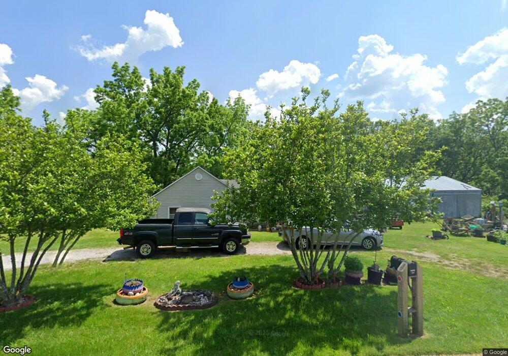
1164 Apache Rd Sparta, MO 65753
Estimated Value: $119,000 - $389,000
2
Beds
1
Bath
1,120
Sq Ft
$197/Sq Ft
Est. Value
About This Home
This home is located at 1164 Apache Rd, Sparta, MO 65753 and is currently estimated at $220,401, approximately $196 per square foot. 1164 Apache Rd is a home with nearby schools including Sparta Elementary School, Sparta Middle School, and Sparta High School.
Ownership History
Date
Name
Owned For
Owner Type
Purchase Details
Closed on
Sep 19, 2024
Sold by
Porter Danny R
Bought by
Wiles Matthew N
Current Estimated Value
Home Financials for this Owner
Home Financials are based on the most recent Mortgage that was taken out on this home.
Original Mortgage
$105,030
Interest Rate
6.44%
Mortgage Type
New Conventional
Purchase Details
Closed on
Dec 3, 2015
Sold by
Porter Janlee
Bought by
Porter Danny Robert
Create a Home Valuation Report for This Property
The Home Valuation Report is an in-depth analysis detailing your home's value as well as a comparison with similar homes in the area
Purchase History
| Date | Buyer | Sale Price | Title Company |
|---|---|---|---|
| Wiles Matthew N | $116,700 | Legal Land Title | |
| Wiles Matthew N | $116,700 | Legal Land Title | |
| Porter Danny Robert | -- | None Available |
Source: Public Records
Mortgage History
| Date | Status | Borrower | Loan Amount |
|---|---|---|---|
| Previous Owner | Wiles Matthew N | $105,030 |
Source: Public Records
Tax History
| Year | Tax Paid | Tax Assessment Tax Assessment Total Assessment is a certain percentage of the fair market value that is determined by local assessors to be the total taxable value of land and additions on the property. | Land | Improvement |
|---|---|---|---|---|
| 2025 | $601 | $11,940 | -- | -- |
| 2024 | $601 | $11,410 | -- | -- |
| 2023 | $601 | $11,410 | $0 | $0 |
| 2022 | $504 | $9,510 | $0 | $0 |
| 2021 | $505 | $9,510 | $0 | $0 |
| 2020 | $474 | $8,820 | $0 | $0 |
| 2019 | $474 | $8,820 | $0 | $0 |
| 2018 | $395 | $7,340 | $0 | $0 |
| 2017 | $395 | $7,340 | $0 | $0 |
| 2016 | $388 | $7,340 | $0 | $0 |
| 2015 | $396 | $7,340 | $7,340 | $0 |
| 2014 | $335 | $6,960 | $0 | $0 |
| 2013 | $3 | $6,960 | $0 | $0 |
| 2011 | $3 | $13,920 | $0 | $0 |
Source: Public Records
Map
Nearby Homes
- 433 Morisset Dr
- 595 Johns Ford Rd
- 726 Division St
- 355 Division St
- 1814 State Highway 125 S
- Tbd Shortt Ln
- Tbd Missouri 14
- 1360 Johnson Rd
- 332 South Ave
- 338 South Ave
- 200 Vanilla Bean Rd
- 000 Missouri 14
- 2211 Reed Rd
- Lot 1 Johns Ford Rd
- 3205 Johns Ford Rd
- 000 Johns Ford Rd
- Tract 3-R1 Oldfield Rd
- 5341 State Highway U
- 573 S Marshfield Rd
- 159 Moody Ridge Rd
- 151 Herman Dr
- 1080 Apache Rd
- 1415 Apache Rd
- 914 Apache Rd
- 0 Apache Rd Unit 11310824
- 0 Apache Rd Unit 11310823
- 17.49 Ac Apache Rd
- 516 Spring Hill Rd
- 422 Spring Hill Rd
- 358 Spring Hill Rd
- 363 Villa Dr
- 355 Spring Hill Rd
- Tbd Apache
- 202 Spring Hill Rd
- 811 Spring Hill Rd
- 9819 State Highway 14 E
- 708 Apache Rd
- 895 Spring Hill Rd
- 886 Spring Hill Rd
- 675 Apache Rd
Your Personal Tour Guide
Ask me questions while you tour the home.