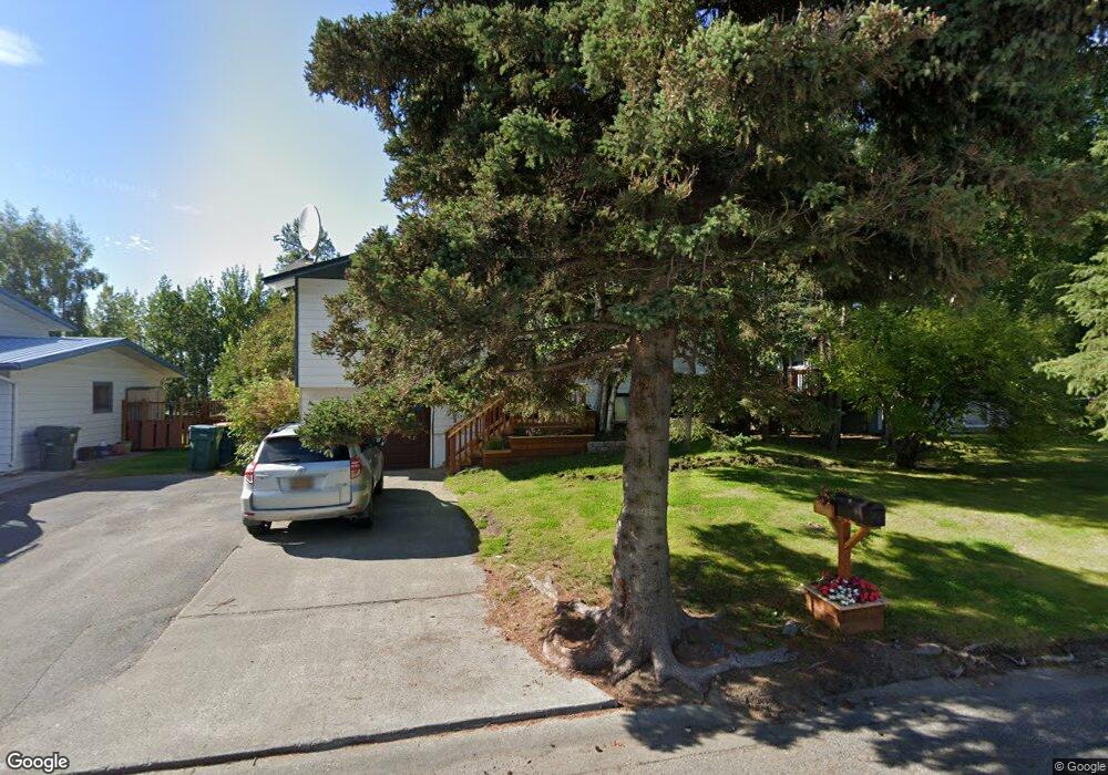
1164 Oceanview Dr Anchorage, AK 99515
Old Seward-Oceanview NeighborhoodEstimated Value: $352,000 - $521,508
3
Beds
2
Baths
1,616
Sq Ft
$276/Sq Ft
Est. Value
About This Home
This home is located at 1164 Oceanview Dr, Anchorage, AK 99515 and is currently estimated at $445,877, approximately $275 per square foot. 1164 Oceanview Dr is a home located in Anchorage Municipality with nearby schools including Ocean View Elementary School, Goldenview Middle School, and South Anchorage High School.
Ownership History
Date
Name
Owned For
Owner Type
Purchase Details
Closed on
Jun 1, 2011
Sold by
Ure Thomas H
Bought by
Pheley Joshua W and Pheley Amy M
Current Estimated Value
Home Financials for this Owner
Home Financials are based on the most recent Mortgage that was taken out on this home.
Original Mortgage
$272,804
Outstanding Balance
$186,914
Interest Rate
4.5%
Mortgage Type
FHA
Estimated Equity
$258,963
Purchase Details
Closed on
Aug 25, 2010
Sold by
Ure Thomas H and Bray Ure Wendy A
Bought by
Ure Thomas H
Create a Home Valuation Report for This Property
The Home Valuation Report is an in-depth analysis detailing your home's value as well as a comparison with similar homes in the area
Home Values in the Area
Average Home Value in this Area
Purchase History
| Date | Buyer | Sale Price | Title Company |
|---|---|---|---|
| Pheley Joshua W | -- | Pnt | |
| Ure Thomas H | -- | None Available |
Source: Public Records
Mortgage History
| Date | Status | Borrower | Loan Amount |
|---|---|---|---|
| Open | Pheley Joshua W | $272,804 |
Source: Public Records
Tax History
| Year | Tax Paid | Tax Assessment Tax Assessment Total Assessment is a certain percentage of the fair market value that is determined by local assessors to be the total taxable value of land and additions on the property. | Land | Improvement |
|---|---|---|---|---|
| 2025 | $6,805 | $485,500 | $125,300 | $360,200 |
| 2024 | $6,805 | $421,500 | $125,300 | $296,200 |
| 2023 | $6,492 | $381,200 | $125,300 | $255,900 |
| 2022 | $5,389 | $320,000 | $125,300 | $194,700 |
| 2021 | $5,370 | $298,000 | $125,300 | $172,700 |
| 2020 | $4,984 | $293,200 | $125,300 | $167,900 |
| 2019 | $4,793 | $293,000 | $125,300 | $167,700 |
| 2018 | $4,730 | $288,400 | $125,300 | $163,100 |
| 2017 | $4,592 | $293,200 | $125,300 | $167,900 |
| 2016 | $4,028 | $295,800 | $125,300 | $170,500 |
| 2015 | $4,028 | $288,900 | $125,300 | $163,600 |
| 2014 | $4,028 | $269,600 | $119,900 | $149,700 |
Source: Public Records
Map
Nearby Homes
- 1548 Cara Loop Unit 5B
- 12961 Nora Dr
- 12636 Silver Fox Ln
- 12631 Tanada Loop
- 12438 Silver Fox Ln Unit 3
- 13730 Sunset View St
- 360 Oceanview Dr
- 2103 Tributary Cir
- 2241 Sues Way
- 2430 Legacy Dr
- 500 Dailey Ave
- 12106 Lucille Ln Unit 1
- 457 Dailey Ave Unit E22
- 402 Ocean Point Dr Unit 16
- 291 Dailey Ave Unit 8
- 271 Dailey Ave Unit 12
- 250 Botanical Cir
- 13410 Windrush Cir
- 13540 Baywind Dr
- 11750 Birch Trail Cir
- 1174 Oceanview Dr
- 1154 Oceanview Dr
- 1184 Oceanview Dr
- 1144 Oceanview Dr
- 1165 Oceanview Dr
- 1175 Oceanview Dr
- 1194 Oceanview Dr
- 1145 Oceanview Dr
- 1134 Oceanview Dr
- 1185 Oceanview Dr
- 1135 Oceanview Dr
- 1124 Oceanview Dr
- 13330 Cove Cir
- 1205 Oceanview Dr
- 1125 Oceanview Dr
- 13340 Cove Cir
- 13351 Reef Place
- 13341 Reef Place
- 13310 Cove Cir
- 13241 Reef Place
Your Personal Tour Guide
Ask me questions while you tour the home.