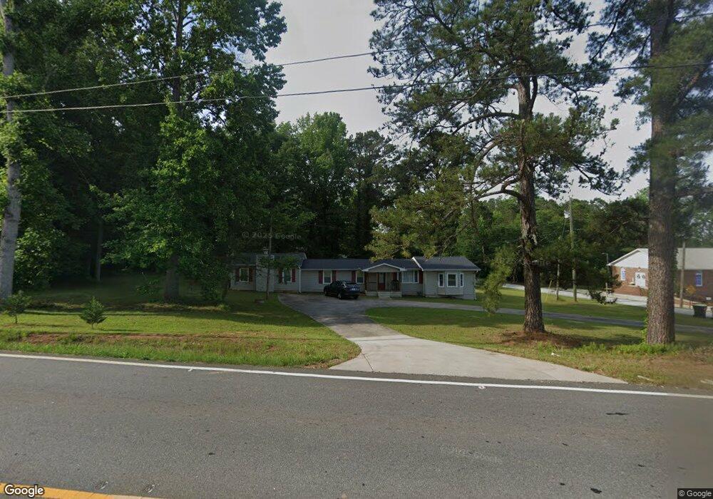
1164 Poplar Rd Newnan, GA 30265
Estimated Value: $166,000 - $319,000
3
Beds
3
Baths
1,924
Sq Ft
$138/Sq Ft
Est. Value
About This Home
This home is located at 1164 Poplar Rd, Newnan, GA 30265 and is currently estimated at $266,118, approximately $138 per square foot. 1164 Poplar Rd is a home located in Coweta County with nearby schools including Welch Elementary School, East Coweta Middle School, and East Coweta High School.
Ownership History
Date
Name
Owned For
Owner Type
Purchase Details
Closed on
Feb 26, 2021
Sold by
Solent Real Estate Llc
Bought by
Rajeev Ishita
Current Estimated Value
Purchase Details
Closed on
Nov 1, 2019
Sold by
Costick Paul
Bought by
Solent Real Estate Llc
Purchase Details
Closed on
Mar 22, 2019
Sold by
Jpmorgan Chase Bank National Association
Bought by
Costick Paul and Costick Lauren Ashley
Purchase Details
Closed on
Jul 1, 2014
Sold by
Dodds William
Bought by
Jpmorgan Chase Bank National A
Create a Home Valuation Report for This Property
The Home Valuation Report is an in-depth analysis detailing your home's value as well as a comparison with similar homes in the area
Home Values in the Area
Average Home Value in this Area
Purchase History
| Date | Buyer | Sale Price | Title Company |
|---|---|---|---|
| Rajeev Ishita | $203,000 | -- | |
| Solent Real Estate Llc | -- | -- | |
| Costick Paul | $84,000 | -- | |
| Jpmorgan Chase Bank National A | $66,912 | -- |
Source: Public Records
Tax History Compared to Growth
Tax History
| Year | Tax Paid | Tax Assessment Tax Assessment Total Assessment is a certain percentage of the fair market value that is determined by local assessors to be the total taxable value of land and additions on the property. | Land | Improvement |
|---|---|---|---|---|
| 2024 | $1,534 | $66,070 | $12,247 | $53,822 |
| 2023 | $1,534 | $69,869 | $17,010 | $52,859 |
| 2022 | $1,337 | $54,265 | $11,340 | $42,925 |
| 2021 | $1,273 | $48,370 | $10,800 | $37,570 |
| 2020 | $890 | $33,600 | $6,676 | $26,924 |
| 2019 | $960 | $32,792 | $8,276 | $24,516 |
| 2018 | $961 | $32,792 | $8,276 | $24,516 |
| 2017 | $961 | $32,792 | $8,276 | $24,516 |
| 2016 | $950 | $32,792 | $8,276 | $24,516 |
| 2015 | $934 | $32,792 | $8,276 | $24,516 |
| 2014 | $1,353 | $47,905 | $23,389 | $24,516 |
Source: Public Records
Map
Nearby Homes
- 0 Pate Rd Unit 10289945
- 0 Pate Rd Unit 10289926
- 0 Pate Rd Unit 10089989
- 0 Pate Rd Unit 7112250
- 0 Pate Rd Unit 7148898
- 0 Pate Rd Unit 8855021
- 0 Pate Rd Unit 8837345
- 0 Pate Rd
- 34 Pate Rd
- 34 Pate Rd
- 129 Bur Oak Bend
- 133 Bur Oak Bend
- 137 Bur Oak Bend
- 125 Bur Oak Bend
- 141 Bur Oak Bend
- 121 Bur Oak Bend
- 145 Bur Oak Bend
- 117 Bur Oak Bend
- 54 Pate Rd
- 117 Lauritsen Way