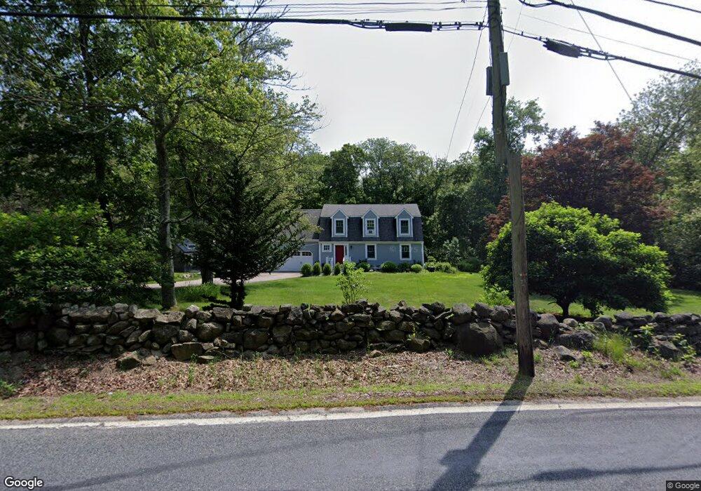
1164 Slocum Rd Saunderstown, RI 02874
Saunderstown NeighborhoodEstimated Value: $734,734 - $820,000
3
Beds
3
Baths
2,384
Sq Ft
$329/Sq Ft
Est. Value
About This Home
This home is located at 1164 Slocum Rd, Saunderstown, RI 02874 and is currently estimated at $785,184, approximately $329 per square foot. 1164 Slocum Rd is a home located in Washington County with nearby schools including Stony Lane Elementary School, Wickford Middle School, and North Kingstown Sr. High School.
Ownership History
Date
Name
Owned For
Owner Type
Purchase Details
Closed on
Feb 29, 1996
Sold by
Lawrence Geoffrey C and Lawrence Malcia
Bought by
Dupuoy Parker S and Dupuoy Angela
Current Estimated Value
Purchase Details
Closed on
Mar 30, 1990
Sold by
Pat Realty
Bought by
Laurence Geoffrey
Create a Home Valuation Report for This Property
The Home Valuation Report is an in-depth analysis detailing your home's value as well as a comparison with similar homes in the area
Home Values in the Area
Average Home Value in this Area
Purchase History
| Date | Buyer | Sale Price | Title Company |
|---|---|---|---|
| Dupuoy Parker S | $190,000 | -- | |
| Laurence Geoffrey | $211,500 | -- |
Source: Public Records
Mortgage History
| Date | Status | Borrower | Loan Amount |
|---|---|---|---|
| Open | Laurence Geoffrey | $322,424 | |
| Closed | Laurence Geoffrey | $339,000 | |
| Closed | Laurence Geoffrey | $100,000 |
Source: Public Records
Tax History Compared to Growth
Tax History
| Year | Tax Paid | Tax Assessment Tax Assessment Total Assessment is a certain percentage of the fair market value that is determined by local assessors to be the total taxable value of land and additions on the property. | Land | Improvement |
|---|---|---|---|---|
| 2025 | $7,199 | $652,100 | $280,100 | $372,000 |
| 2024 | $6,596 | $460,000 | $194,300 | $265,700 |
| 2023 | $6,596 | $460,000 | $194,300 | $265,700 |
| 2022 | $6,468 | $460,000 | $194,300 | $265,700 |
| 2021 | $6,134 | $350,500 | $124,500 | $226,000 |
| 2020 | $5,990 | $350,500 | $124,500 | $226,000 |
| 2019 | $5,990 | $350,500 | $124,500 | $226,000 |
| 2018 | $5,998 | $316,200 | $119,500 | $196,700 |
| 2017 | $5,878 | $316,200 | $119,500 | $196,700 |
| 2016 | $5,711 | $316,200 | $119,500 | $196,700 |
| 2015 | $5,576 | $288,900 | $114,400 | $174,500 |
| 2014 | $5,463 | $288,900 | $114,400 | $174,500 |
Source: Public Records
Map
Nearby Homes
- 604 Stony Fort Rd
- 48 Fieldstone Ln
- 150 Delta Dr
- 1081 Mooresfield Rd
- 247 Glen Hill Dr
- 470 Sylvan Ct
- 449 Sylvan Ct
- 91 Old Rd N
- 81 Old Rd N
- 95 S Woods Dr
- 202 Explorer Dr
- 158 Explorer Dr
- 168 Explorer Dr
- 210 Explorer Dr
- 400 Yawgoo Valley Rd
- 294 Rose Hill Rd
- 42 Ledgewood Rd
- 79 Linden Dr
- 23 Conant Ln
- 155 Beechwood Hill Trail
- 1152 Slocum Rd
- 1140 Slocum Rd
- 701 Stony Fort Rd
- 1120 Slocum Rd
- 724 Stony Fort Rd
- 724 Stony Fort Rd
- 1104 Slocum Rd
- 770 Stony Fort Rd
- 696 Stony Fort Rd
- 249 Stony Fort Rd Unit B
- 249 Stony Fort Rd Unit C
- 710 Stony Fort Rd
- 2 Preservation Dr
- 696 Stony Fort Rd
- 18 Preservation Dr
- 1084 Slocum Rd
- 26 Preservation Dr
- 24 Preservation Dr
- 24 Preservation Dr
- 1600 Shermantown Rd