11642 Memory Ln Plainwell, MI 49080
Estimated Value: $341,934 - $381,000
4
Beds
3
Baths
3,070
Sq Ft
$119/Sq Ft
Est. Value
About This Home
This home is located at 11642 Memory Ln, Plainwell, MI 49080 and is currently estimated at $363,984, approximately $118 per square foot. 11642 Memory Ln is a home located in Barry County with nearby schools including Delton Kellogg Elementary School, Delton-Kellogg Middle School, and Delton-Kellogg High School.
Ownership History
Date
Name
Owned For
Owner Type
Purchase Details
Closed on
May 27, 2005
Sold by
Pinks Deborah L
Bought by
Watkins Yvonne and Watkins Allie S
Current Estimated Value
Home Financials for this Owner
Home Financials are based on the most recent Mortgage that was taken out on this home.
Original Mortgage
$152,000
Outstanding Balance
$80,118
Interest Rate
5.91%
Mortgage Type
Fannie Mae Freddie Mac
Estimated Equity
$283,866
Purchase Details
Closed on
May 27, 2004
Sold by
Pinks Ovie D and Pinks Deborah L
Bought by
Federal National Mortgage Association
Create a Home Valuation Report for This Property
The Home Valuation Report is an in-depth analysis detailing your home's value as well as a comparison with similar homes in the area
Purchase History
| Date | Buyer | Sale Price | Title Company |
|---|---|---|---|
| Watkins Yvonne | $160,000 | Chicago Title | |
| Federal National Mortgage Association | $133,957 | -- |
Source: Public Records
Mortgage History
| Date | Status | Borrower | Loan Amount |
|---|---|---|---|
| Open | Watkins Yvonne | $152,000 |
Source: Public Records
Tax History
| Year | Tax Paid | Tax Assessment Tax Assessment Total Assessment is a certain percentage of the fair market value that is determined by local assessors to be the total taxable value of land and additions on the property. | Land | Improvement |
|---|---|---|---|---|
| 2025 | $1,619 | $110,300 | $0 | $0 |
| 2024 | $2,178 | $98,600 | $0 | $0 |
| 2023 | $713 | $75,600 | $0 | $0 |
| 2022 | $713 | $75,600 | $0 | $0 |
| 2021 | $713 | $78,300 | $0 | $0 |
| 2020 | $1,474 | $78,200 | $0 | $0 |
| 2019 | $1,474 | $72,300 | $0 | $0 |
| 2018 | $1,389 | $65,100 | $20,200 | $44,900 |
| 2017 | $1,389 | $65,100 | $0 | $0 |
| 2016 | -- | $59,100 | $0 | $0 |
| 2015 | -- | $56,400 | $0 | $0 |
| 2014 | -- | $56,400 | $0 | $0 |
Source: Public Records
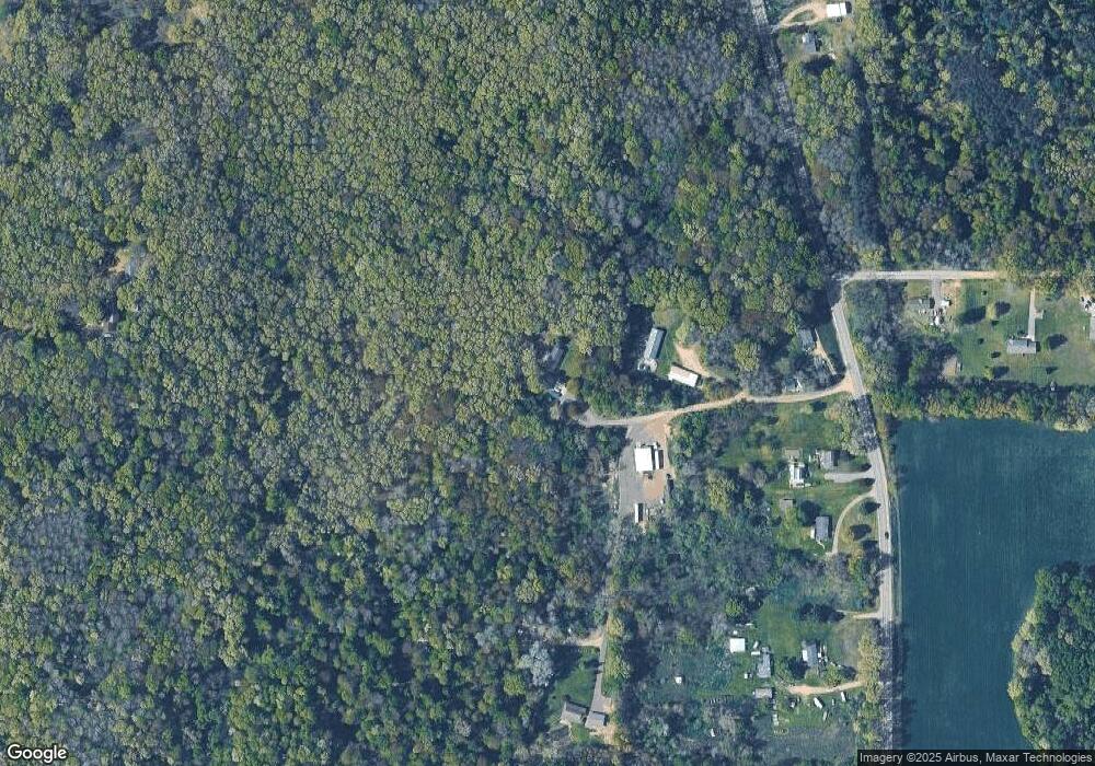
Map
Nearby Homes
- 12015 W Pine Lake Rd
- 6757 Marsh Rd
- 6432 Marsh Rd
- 1217 Marsh Rd
- 9481 W Pine Lake Rd
- 12387 Sunset Point Dr
- 970 Scenic View Dr Unit 18
- 5289 Marsh Rd
- 5882 Mullen Ridge Dr
- V/L W Guernsey Lake Rd
- 12344 Warner Rd
- 6048 Stewart Woods Dr
- 4304 Trails End Rd
- 286 108th Ave
- 23 Oak Opening
- 6525 Woods Trail Dr
- 8771 Chain O Lakes Dr
- 694 Pierce Rd
- VL Pierce Rd
- VL Pierce Rd Unit Parcel 5
- 11520 Memory Ln
- 11675 Memory Ln
- 8650 Lindsey Rd
- 8666 Lindsey Rd
- 8690 Lindsey Rd
- 8716 Lindsey Rd
- 11451 Bacon Rd
- 8383 Lindsey Rd
- 11385 Bacon Rd
- 0 Bacon Rd
- 8810 Lindsey Rd
- 11319 Bacon Rd
- 8246 Lindsey Rd
- 11799 Lewis Rd
- 11245 Bacon Rd
- 8873 Lindsey Rd
- 11815 Lewis Rd
- 8224 Lindsey Rd
- 8904 Lindsey Rd
- 11655 Lewis Rd
Your Personal Tour Guide
Ask me questions while you tour the home.