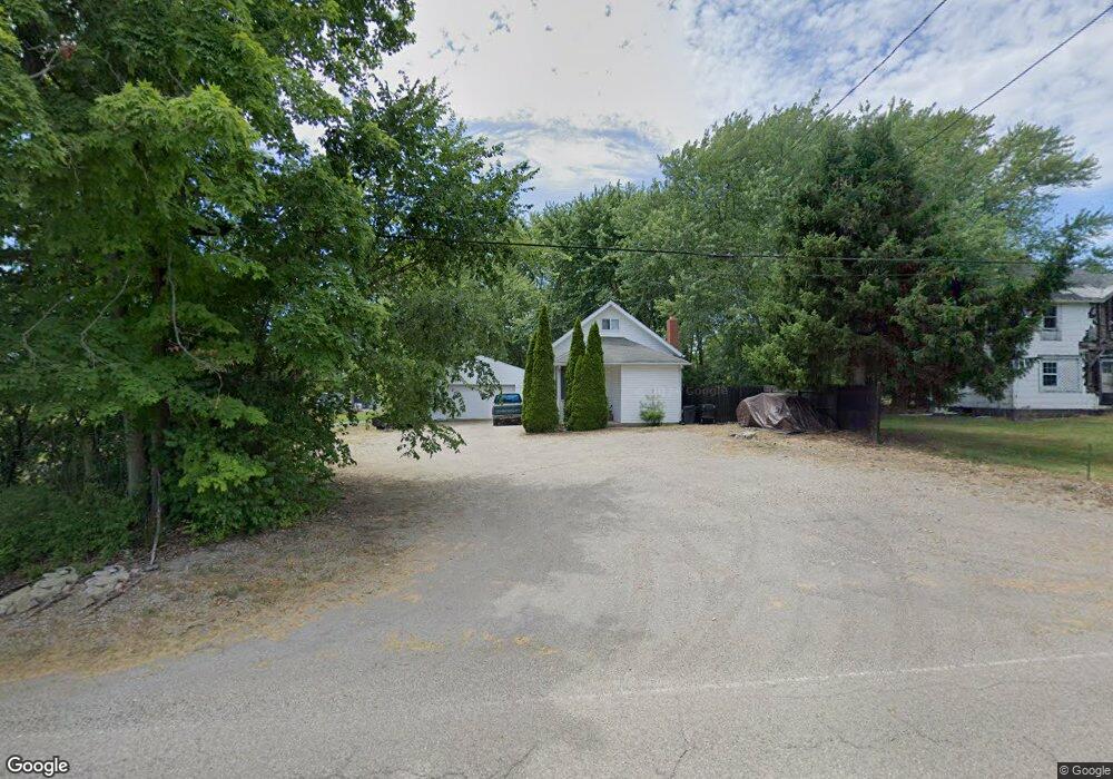
11642 Oyster Rd Alliance, OH 44601
Estimated Value: $65,000 - $186,000
3
Beds
2
Baths
1,102
Sq Ft
$102/Sq Ft
Est. Value
About This Home
This home is located at 11642 Oyster Rd, Alliance, OH 44601 and is currently estimated at $112,838, approximately $102 per square foot. 11642 Oyster Rd is a home located in Mahoning County with nearby schools including West Branch Middle School, West Branch Early Learning Center, and West Branch High School.
Ownership History
Date
Name
Owned For
Owner Type
Purchase Details
Closed on
Oct 4, 2007
Sold by
Host Robert R and Host Sharon C
Bought by
Host Antonio L and Host Melanie L
Current Estimated Value
Purchase Details
Closed on
Apr 7, 2005
Sold by
Mcilvain Robert L
Bought by
Host Robert R and Host Sharon C
Purchase Details
Closed on
Feb 3, 1994
Bought by
U S A Farmers Home Admn
Create a Home Valuation Report for This Property
The Home Valuation Report is an in-depth analysis detailing your home's value as well as a comparison with similar homes in the area
Home Values in the Area
Average Home Value in this Area
Purchase History
| Date | Buyer | Sale Price | Title Company |
|---|---|---|---|
| Host Antonio L | -- | Attorney | |
| Host Robert R | $3,100 | -- | |
| U S A Farmers Home Admn | -- | -- |
Source: Public Records
Tax History Compared to Growth
Tax History
| Year | Tax Paid | Tax Assessment Tax Assessment Total Assessment is a certain percentage of the fair market value that is determined by local assessors to be the total taxable value of land and additions on the property. | Land | Improvement |
|---|---|---|---|---|
| 2024 | $819 | $22,070 | $3,320 | $18,750 |
| 2023 | $803 | $22,070 | $3,320 | $18,750 |
| 2022 | $605 | $14,900 | $2,660 | $12,240 |
| 2021 | $605 | $14,900 | $2,660 | $12,240 |
| 2020 | $608 | $14,900 | $2,660 | $12,240 |
| 2019 | $554 | $12,860 | $2,660 | $10,200 |
| 2018 | $579 | $12,860 | $2,660 | $10,200 |
| 2017 | $549 | $12,860 | $2,660 | $10,200 |
| 2016 | $587 | $13,860 | $1,910 | $11,950 |
| 2015 | $599 | $13,860 | $1,910 | $11,950 |
| 2014 | $573 | $13,860 | $1,910 | $11,950 |
| 2013 | $568 | $13,860 | $1,910 | $11,950 |
Source: Public Records
Map
Nearby Homes
- 15789 Coalbank St NE
- 15995 Elbrook St NE
- 15520 Coalbank St NE
- 15832 Waverly St NE
- 11310 Webb Ave NE
- 0 Knoll St NE
- 11344 Walnut Ave NE
- 652 N Webb Ave
- 263 Franklin Ave
- 1214 Jersey St
- 124 E Wayne St
- 710 N Freedom Ave
- 608 N Freedom Ave
- 505 N Union Ave
- 14723 Bolton St NE
- 361 E Main St
- 0 Homestead Ave NE
- 0 Meadowbrook Ave
- 0 Johnson Ave NE Unit 5142926
- V/L S Fredeom Ave
- 11635 Oyster Rd
- 11651 Oyster Rd
- 11598 Oyster Rd
- 11590 Oyster Rd
- 11521 Oyster Rd
- 11511 Oyster Rd
- 11787 Oyster Rd
- 11925 Oyster Rd
- 17846 W South Range Rd
- 22447 W South Range Rd
- 22447 W South Range Rd
- 22559 W South Range Rd
- 22601 W South Range Rd
- 22663 W South Range Rd
- 11290 Oyster Rd
- 22505 W South Range Rd
- 12100 Oyster Rd
- 22733 W South Range Rd
- 12150 Oyster Rd
- 22905 W South Range Rd