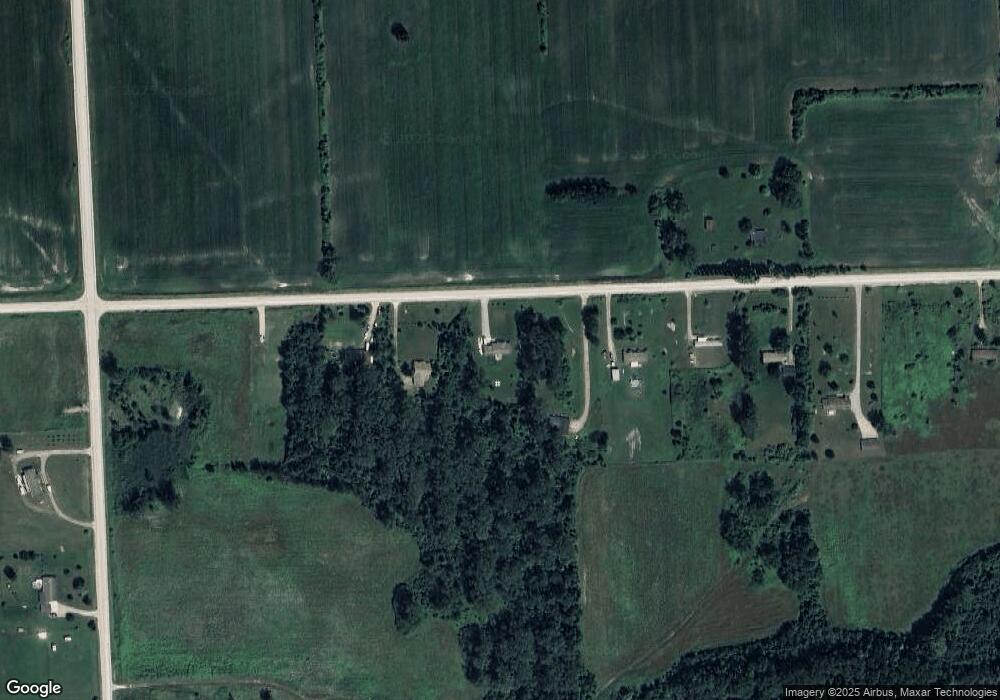
11643 Norman Rd Brockway, MI 48097
Brockway Township NeighborhoodEstimated Value: $227,000 - $335,000
--
Bed
--
Bath
1,456
Sq Ft
$188/Sq Ft
Est. Value
About This Home
This home is located at 11643 Norman Rd, Brockway, MI 48097 and is currently estimated at $274,092, approximately $188 per square foot. 11643 Norman Rd is a home with nearby schools including Yale Senior High School.
Ownership History
Date
Name
Owned For
Owner Type
Purchase Details
Closed on
Feb 3, 2021
Sold by
Gill David E and Gill Cathy S
Bought by
Gill David E and Gill Cathy S
Current Estimated Value
Purchase Details
Closed on
May 4, 2017
Sold by
Gill David E
Bought by
Gill David E and Gill Cathy S
Purchase Details
Closed on
May 15, 2015
Sold by
Bright Scott E and Cook Julia
Bought by
Gill David E
Purchase Details
Closed on
Jul 23, 2014
Sold by
Cook Julia A
Bought by
Cook Julia A
Purchase Details
Closed on
Apr 1, 2014
Sold by
Nale Fayette L and Nale Fayette
Bought by
Cook Julia A and Estate Of Michael Stephen Nale
Create a Home Valuation Report for This Property
The Home Valuation Report is an in-depth analysis detailing your home's value as well as a comparison with similar homes in the area
Home Values in the Area
Average Home Value in this Area
Purchase History
| Date | Buyer | Sale Price | Title Company |
|---|---|---|---|
| Gill David E | -- | None Available | |
| Gill David E | -- | None Available | |
| Gill David E | $6,250 | Greco Title Agency Llc | |
| Cook Julia A | -- | None Available | |
| Cook Julia A | $2,800 | None Available |
Source: Public Records
Tax History Compared to Growth
Tax History
| Year | Tax Paid | Tax Assessment Tax Assessment Total Assessment is a certain percentage of the fair market value that is determined by local assessors to be the total taxable value of land and additions on the property. | Land | Improvement |
|---|---|---|---|---|
| 2025 | $2,519 | $151,000 | $0 | $0 |
| 2024 | $942 | $135,400 | $0 | $0 |
| 2023 | $897 | $112,500 | $0 | $0 |
| 2022 | $2,321 | $107,100 | $0 | $0 |
| 2021 | $2,117 | $99,100 | $0 | $0 |
| 2020 | $2,117 | $85,300 | $85,300 | $0 |
| 2019 | $2,069 | $70,100 | $0 | $0 |
| 2018 | $2,035 | $3,900 | $0 | $0 |
| 2017 | $188 | $3,900 | $0 | $0 |
| 2016 | $45 | $3,900 | $0 | $0 |
| 2015 | -- | $11,000 | $11,000 | $0 |
| 2014 | -- | $9,900 | $9,900 | $0 |
| 2013 | -- | $9,900 | $0 | $0 |
Source: Public Records
Map
Nearby Homes
- 11705 Norman Rd
- 11120 Wilkes Rd
- 5699 Connell Rd
- V/L Rose Rd Unit V/L Metcalf
- 11157 Rose Rd
- 10805 Wilkes Rd
- 5901 Quain Rd
- VL Speaker Rd
- 0 Jorden Unit 50176561
- 9 Livingston St
- 11 Sullivan Rd
- 209 S Brockway Rd
- 13027 Norman Rd
- 12980 Metcalf Rd
- 307 Mary St
- 109 E Wood St
- 106 E Mechanic St
- 00 Foley Rd
- 0001 Foley Rd
- 203 E Mechanic St
- 11661 Norman Rd
- 11629 Norman Rd
- 11605 Norman Rd
- 11675 Norman Rd
- 11583 Norman Rd
- 11565 Norman Rd
- 11547 Norman Rd
- 00 Connell
- 00 Connell Unit on Corner of Connell
- VL Connell Rd
- 00 Connell Rd
- V/L Connell Rd
- 6453 Connell Rd
- 11511 Norman Rd
- 6421 Connell Rd
- 6394 Connell Rd
- 6394 Connell Rd
- 6394 Connell Rd
- 11485 Norman Rd
- 6343 Connell Rd
