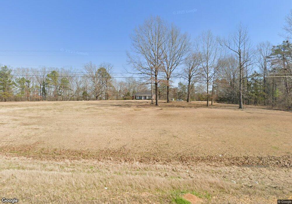
11646 Ms Highway 15 Mantee, MS 39751
Estimated Value: $189,386 - $214,000
3
Beds
--
Bath
1,976
Sq Ft
$103/Sq Ft
Est. Value
About This Home
This home is located at 11646 Ms Highway 15, Mantee, MS 39751 and is currently estimated at $203,795, approximately $103 per square foot. 11646 Ms Highway 15 is a home with nearby schools including East Webster Elementary School and East Webster High School.
Ownership History
Date
Name
Owned For
Owner Type
Purchase Details
Closed on
Jul 3, 2015
Sold by
Mccarter John Grant
Bought by
Crimm Brent and Crimm Blair
Current Estimated Value
Home Financials for this Owner
Home Financials are based on the most recent Mortgage that was taken out on this home.
Original Mortgage
$112,000
Outstanding Balance
$64,527
Interest Rate
3.92%
Mortgage Type
Purchase Money Mortgage
Estimated Equity
$139,268
Create a Home Valuation Report for This Property
The Home Valuation Report is an in-depth analysis detailing your home's value as well as a comparison with similar homes in the area
Purchase History
| Date | Buyer | Sale Price | Title Company |
|---|---|---|---|
| Crimm Brent | -- | -- |
Source: Public Records
Mortgage History
| Date | Status | Borrower | Loan Amount |
|---|---|---|---|
| Open | Crimm Brent | $112,000 |
Source: Public Records
Tax History
| Year | Tax Paid | Tax Assessment Tax Assessment Total Assessment is a certain percentage of the fair market value that is determined by local assessors to be the total taxable value of land and additions on the property. | Land | Improvement |
|---|---|---|---|---|
| 2025 | $1,040 | $11,606 | $1,448 | $10,158 |
| 2024 | $1,040 | $11,606 | $1,448 | $10,158 |
| 2023 | $1,057 | $11,606 | $1,448 | $10,158 |
| 2022 | $1,025 | $11,606 | $1,448 | $10,158 |
| 2021 | $958 | $11,077 | $1,448 | $9,629 |
| 2020 | $961 | $11,077 | $1,448 | $9,629 |
| 2019 | $961 | $11,077 | $1,448 | $9,629 |
| 2018 | $952 | $11,077 | $1,448 | $9,629 |
| 2017 | $917 | $10,546 | $1,448 | $9,098 |
| 2016 | $919 | $10,546 | $1,448 | $9,098 |
| 2015 | -- | $10,546 | $1,448 | $9,098 |
| 2014 | -- | $15,818 | $2,172 | $13,646 |
| 2013 | -- | $10,223 | $1,298 | $8,925 |
Source: Public Records
Map
Nearby Homes
- 140 Pate Rd
- 12386 Mississippi 15
- 10733 Mississippi 15
- 12766 Mississippi 15
- 202 Main St
- 0 Mississippi 46 Unit 25-1215
- 0 Mantee Rd
- 19114 Mississippi 46
- 4 Hohenlinden Rd
- 2 Hohenlinden Rd
- 4379 Mantee Rd
- 0 Jackson Rd ( Cr263) Unit 25-1630
- 1222 Hohenlinden Rd
- 1564 Berry Rd
- 1492 Berry Rd
- 111 Wild Plum Rd
- 362 Ellison Rd
- 351 Quail Hollow Ln
- 348 Quail Hollow Ln
- 364 Cr 80
- 11641 Hwy 15
- 412 Barton Rd
- 11641 Ms Highway 15
- 11641 Mississippi 15
- 11458 Ms Highway 15
- 11469 Ms Highway 15
- 11717 Ms Highway 15
- 13161 Ms Highway 15
- 52 Barton Rd
- 11205 Ms Highway 15
- 83 Pate Rd
- 55 Pate Rd
- 43 Pate Rd
- 113 Pate Rd
- 20 Pate Rd
- 78 Pate Rd
- 88 Pate Rd
- 158 Pate Rd
- 1756 Highway 15 S
- 10846 Ms Highway 15
Your Personal Tour Guide
Ask me questions while you tour the home.