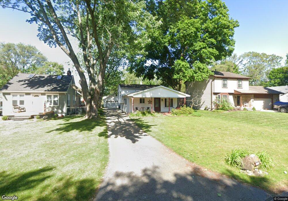
11647 Butternut Ave Unit Bldg-Unit Plymouth, MI 48170
Estimated Value: $331,000 - $455,000
--
Bed
2
Baths
1,046
Sq Ft
$362/Sq Ft
Est. Value
About This Home
This home is located at 11647 Butternut Ave Unit Bldg-Unit, Plymouth, MI 48170 and is currently estimated at $378,484, approximately $361 per square foot. 11647 Butternut Ave Unit Bldg-Unit is a home located in Wayne County with nearby schools including Canton High School, Farrand Elementary School, and East Middle School.
Ownership History
Date
Name
Owned For
Owner Type
Purchase Details
Closed on
Jan 26, 2018
Sold by
Pashukewich Amy M and Pashukewich Edward J
Bought by
Dunn Kathryn
Current Estimated Value
Purchase Details
Closed on
May 27, 2005
Sold by
Stratton Roger and Stratton Roger D
Bought by
Wolfe Amy
Home Financials for this Owner
Home Financials are based on the most recent Mortgage that was taken out on this home.
Original Mortgage
$189,900
Interest Rate
7.12%
Mortgage Type
Fannie Mae Freddie Mac
Create a Home Valuation Report for This Property
The Home Valuation Report is an in-depth analysis detailing your home's value as well as a comparison with similar homes in the area
Home Values in the Area
Average Home Value in this Area
Purchase History
| Date | Buyer | Sale Price | Title Company |
|---|---|---|---|
| Dunn Kathryn | $253,000 | Title One Inc | |
| Wolfe Amy | $199,900 | Metropolitan Title Company | |
| Stratton Roger | $18,000 | Metropolitan Title Company |
Source: Public Records
Mortgage History
| Date | Status | Borrower | Loan Amount |
|---|---|---|---|
| Previous Owner | Stratton Roger | $189,900 |
Source: Public Records
Tax History Compared to Growth
Tax History
| Year | Tax Paid | Tax Assessment Tax Assessment Total Assessment is a certain percentage of the fair market value that is determined by local assessors to be the total taxable value of land and additions on the property. | Land | Improvement |
|---|---|---|---|---|
| 2025 | $2,903 | $150,600 | $0 | $0 |
| 2024 | $2,903 | $145,000 | $0 | $0 |
| 2023 | $2,766 | $141,500 | $0 | $0 |
| 2022 | $3,676 | $117,000 | $0 | $0 |
| 2021 | $3,567 | $118,000 | $0 | $0 |
| 2019 | $3,461 | $104,840 | $0 | $0 |
| 2018 | $1,557 | $100,290 | $0 | $0 |
| 2017 | $1,087 | $18,000 | $0 | $0 |
| 2016 | $2,038 | $94,300 | $0 | $0 |
| 2015 | $6,522 | $90,480 | $0 | $0 |
| 2013 | $6,319 | $65,720 | $0 | $0 |
| 2012 | -- | $63,340 | $18,010 | $45,330 |
Source: Public Records
Map
Nearby Homes
- 11348 Cedar Ln
- 40419 Orangelawn Ave
- 11839 Sycamore Dr Unit 36
- 11827 Sycamore Rd
- 11733 Sycamore Dr Unit 7
- 45871 Spruce
- 9466 Marilyn Ave
- 9365 Tavistock Dr
- 38831 Orangelawn St
- 41663 Boreal
- 41675 Boreal
- 10640 Barrett
- 10420 Barrett St
- 10310 Barrett
- 40526 Newport Dr Unit 99
- 10080 Barrett
- 41840 E Ann Arbor Trail
- 40584 Newport Ct
- 9840 Firwood Dr
- 40504 Newport Dr
- 11647 Butternut Ave
- 40350 Ferguson Ave
- 11625 Butternut Ave
- 11637 Butternut Ave
- 40364 Ferguson Ave
- 11675 Butternut Ave
- 40374 Ferguson Ave
- 40320 Ferguson Ave
- 11661 Butternut Ave
- 40384 Ferguson Ave Unit Bldg-Unit
- 40384 Ferguson Ave
- 40355 Gilbert St
- 40327 Gilbert St
- 11636 Francis Ave
- 11636 Butternut Ave
- 40363 Gilbert St
- 40321 Gilbert St
- 11630 Francis Ave
- 40337 Gilbert St
- 11644 Francis Ave