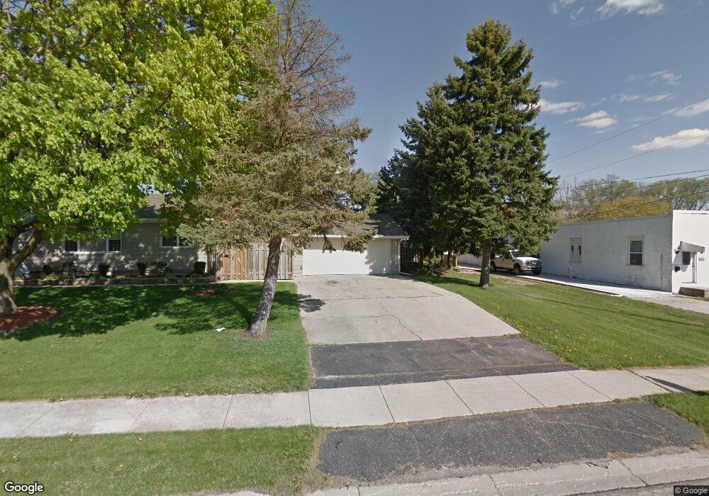
1165 High St Aurora, IL 60505
Pigeon Hill NeighborhoodEstimated Value: $54,000 - $418,000
Studio
--
Bath
--
Sq Ft
3,049
Sq Ft
About This Home
This home is located at 1165 High St, Aurora, IL 60505 and is currently estimated at $234,000. 1165 High St is a home located in Kane County with nearby schools including Nicholas A Hermes Elementary School, Simmons Middle School, and East Aurora High School.
Ownership History
Date
Name
Owned For
Owner Type
Purchase Details
Closed on
Dec 30, 2019
Sold by
Stalka Timothy M
Bought by
The A A S Family Trust
Current Estimated Value
Purchase Details
Closed on
May 14, 2007
Sold by
Oros George R and Oros Dorinda A
Bought by
Stalka Timothy M
Home Financials for this Owner
Home Financials are based on the most recent Mortgage that was taken out on this home.
Original Mortgage
$123,000
Interest Rate
6.27%
Mortgage Type
Balloon
Purchase Details
Closed on
Feb 9, 2003
Sold by
Oros George
Bought by
Oros George R and Oros Dorinda A
Create a Home Valuation Report for This Property
The Home Valuation Report is an in-depth analysis detailing your home's value as well as a comparison with similar homes in the area
Home Values in the Area
Average Home Value in this Area
Purchase History
| Date | Buyer | Sale Price | Title Company |
|---|---|---|---|
| The A A S Family Trust | -- | None Available | |
| Stalka Timothy M | $75,000 | Ticor Title Insurance Co | |
| Oros George R | $12,000 | -- |
Source: Public Records
Mortgage History
| Date | Status | Borrower | Loan Amount |
|---|---|---|---|
| Previous Owner | Stalka Timothy M | $123,000 |
Source: Public Records
Tax History
| Year | Tax Paid | Tax Assessment Tax Assessment Total Assessment is a certain percentage of the fair market value that is determined by local assessors to be the total taxable value of land and additions on the property. | Land | Improvement |
|---|---|---|---|---|
| 2024 | $128 | $1,860 | $1,860 | -- |
| 2023 | $124 | $1,662 | $1,662 | -- |
| 2022 | $115 | $1,516 | $1,516 | $0 |
| 2021 | $114 | $1,411 | $1,411 | $0 |
| 2020 | $109 | $1,311 | $1,311 | $0 |
| 2019 | $107 | $1,215 | $1,215 | $0 |
| 2018 | $64 | $707 | $707 | $0 |
| 2017 | $64 | $651 | $651 | $0 |
| 2016 | $69 | $657 | $657 | $0 |
| 2015 | -- | $565 | $565 | $0 |
| 2014 | -- | $519 | $519 | $0 |
| 2013 | -- | $584 | $584 | $0 |
Source: Public Records
Map
Nearby Homes
- 1009 Assell Ave
- 1220 Mitchell Rd
- 304 Hankes Ave
- 773 Aurora Ave
- 1567 Galway Dr
- 907 Harley Ct
- 14-18 N Lake St
- 338 Lakelawn Blvd
- 0000 N Farnsworth Ave
- 1923 Schomer Ct
- 341 Woodlyn Dr Unit 3
- 440 Woodlyn Dr
- Lot 1 Reckinger Rd
- 1050 N Farnsworth Ave Unit 111
- 747 Delius St
- 608 Front St
- 388 Manor Place
- 461 Wood St
- 971 Solfisburg Ave
- 231-233 Williams St
Your Personal Tour Guide
Ask me questions while you tour the home.