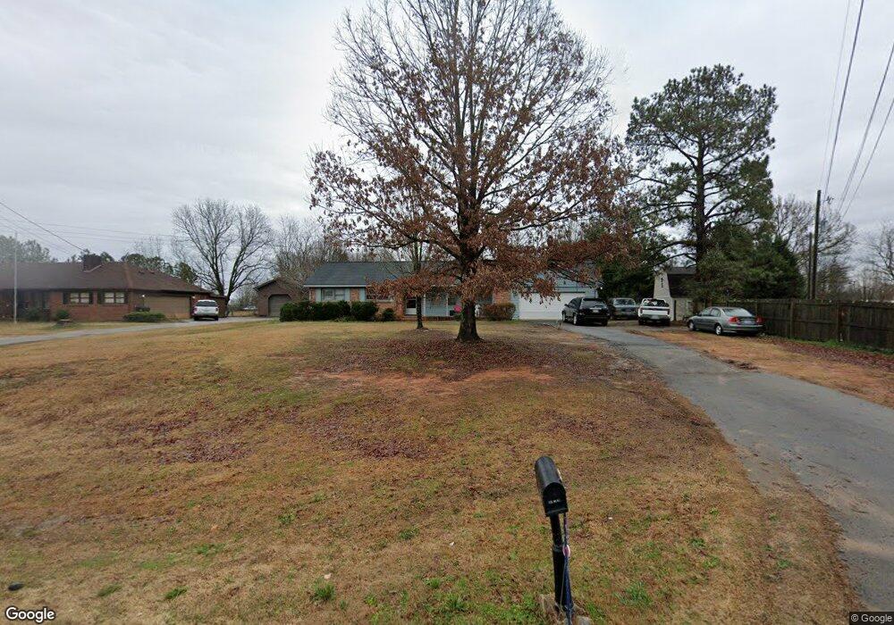
1165 Highway 81 Loganville, GA 30052
Walnut Grove NeighborhoodEstimated Value: $210,988 - $282,000
--
Bed
1
Bath
1,320
Sq Ft
$190/Sq Ft
Est. Value
About This Home
This home is located at 1165 Highway 81, Loganville, GA 30052 and is currently estimated at $250,997, approximately $190 per square foot. 1165 Highway 81 is a home with nearby schools including Youth Elementary School, Youth Middle School, and Walnut Grove High School.
Ownership History
Date
Name
Owned For
Owner Type
Purchase Details
Closed on
Apr 19, 2002
Sold by
Wkb Inc
Bought by
Berry William K and Berry Jennifer K
Current Estimated Value
Purchase Details
Closed on
Feb 22, 1999
Sold by
Moyers Terry M and Moyers Tracey M
Bought by
Moyers Mike and Moyers Tracey
Home Financials for this Owner
Home Financials are based on the most recent Mortgage that was taken out on this home.
Original Mortgage
$61,000
Interest Rate
6.79%
Mortgage Type
New Conventional
Purchase Details
Closed on
Nov 19, 1992
Bought by
Moyers Terry Michael
Create a Home Valuation Report for This Property
The Home Valuation Report is an in-depth analysis detailing your home's value as well as a comparison with similar homes in the area
Home Values in the Area
Average Home Value in this Area
Purchase History
| Date | Buyer | Sale Price | Title Company |
|---|---|---|---|
| Berry William K | $1,000 | -- | |
| Moyers Mike | -- | -- | |
| Moyers Terry Michael | -- | -- |
Source: Public Records
Mortgage History
| Date | Status | Borrower | Loan Amount |
|---|---|---|---|
| Previous Owner | Moyers Mike | $61,000 |
Source: Public Records
Tax History Compared to Growth
Tax History
| Year | Tax Paid | Tax Assessment Tax Assessment Total Assessment is a certain percentage of the fair market value that is determined by local assessors to be the total taxable value of land and additions on the property. | Land | Improvement |
|---|---|---|---|---|
| 2024 | $1,599 | $54,240 | $16,040 | $38,200 |
| 2023 | $1,612 | $53,160 | $16,040 | $37,120 |
| 2022 | $1,549 | $49,000 | $14,040 | $34,960 |
| 2021 | $1,467 | $45,040 | $14,040 | $31,000 |
| 2020 | $1,489 | $44,560 | $14,040 | $30,520 |
| 2019 | $1,438 | $43,480 | $14,040 | $29,440 |
| 2018 | $1,454 | $43,480 | $14,040 | $29,440 |
| 2017 | $1,498 | $43,480 | $14,040 | $29,440 |
| 2016 | $1,336 | $39,360 | $14,040 | $25,320 |
| 2015 | $1,358 | $39,360 | $14,040 | $25,320 |
| 2014 | $1,425 | $40,280 | $14,040 | $26,240 |
Source: Public Records
Map
Nearby Homes
- 4199 Wagon Trail
- 1060 Highway 81
- 1524 Guthrie Crossing Dr
- 2361 Emerald Dr
- LOT 12 Guthrie Cemetery Rd
- LOT 13 Guthrie Cemetery Rd
- 4503 Atha Cir
- 1800 Walnut Ave
- 421 Greenhill Way
- 431 Greenhill Way
- 504 Overlook Rd
- 1015 Carriage Way
- 89 Cowpen Ct
- 1791 Georgia 138
- 1227 Blue Springs Dr
- 1760 Highway 138
- 0 Emmett Still Rd Unit TRACT 04 20086873
- 1746 Malachi Ct
- 892 Forrester Cemetery Rd
- 4820 Old Highway 138
- 1175 Highway 81
- 1155 Highway 81
- 1145 Highway 81
- 1238 Highway 81
- 4258 Wagon Trail
- 4268 Wagon Trail
- WAGON TRL 6 Property Package Trail
- 1156 Highway 81
- 1154 Highway 81
- 4139 Wagon Trail
- 4159 Wagon Trail
- 1225 Highway 81
- 4298 Wagon Trail
- 1125 Highway 81
- 4239 Wagon Trail
- 4358 Wagon Trail
- 4108 Indian Trail
- 4279 Wagon Trail
- 4168 Indian Trail
- 0 Wagon Trail Unit 8890612