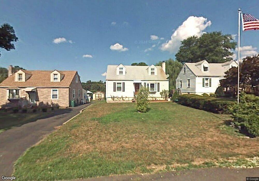
1165 Kings Ave Bensalem, PA 19020
Estimated Value: $337,290 - $478,000
4
Beds
2
Baths
1,307
Sq Ft
$300/Sq Ft
Est. Value
About This Home
This home is located at 1165 Kings Ave, Bensalem, PA 19020 and is currently estimated at $392,073, approximately $299 per square foot. 1165 Kings Ave is a home located in Bucks County with nearby schools including Robert K. Shafer Middle School, School Lane Charter School, and St Charles Borromeo School.
Ownership History
Date
Name
Owned For
Owner Type
Purchase Details
Closed on
Nov 16, 1998
Sold by
Sinroff James P
Bought by
Fiore Kenneth M and Fiore Michelle
Current Estimated Value
Home Financials for this Owner
Home Financials are based on the most recent Mortgage that was taken out on this home.
Original Mortgage
$123,500
Outstanding Balance
$27,170
Interest Rate
6.68%
Estimated Equity
$364,903
Purchase Details
Closed on
Jun 24, 1997
Sold by
Sinroff James P and Sinroff William J
Bought by
Sinroff James P
Create a Home Valuation Report for This Property
The Home Valuation Report is an in-depth analysis detailing your home's value as well as a comparison with similar homes in the area
Home Values in the Area
Average Home Value in this Area
Purchase History
| Date | Buyer | Sale Price | Title Company |
|---|---|---|---|
| Fiore Kenneth M | $130,000 | Lawyers Title Insurance Co | |
| Sinroff James P | -- | -- |
Source: Public Records
Mortgage History
| Date | Status | Borrower | Loan Amount |
|---|---|---|---|
| Open | Fiore Kenneth M | $123,500 |
Source: Public Records
Tax History Compared to Growth
Tax History
| Year | Tax Paid | Tax Assessment Tax Assessment Total Assessment is a certain percentage of the fair market value that is determined by local assessors to be the total taxable value of land and additions on the property. | Land | Improvement |
|---|---|---|---|---|
| 2025 | $3,405 | $15,600 | $3,000 | $12,600 |
| 2024 | $3,405 | $15,600 | $3,000 | $12,600 |
| 2023 | $3,309 | $15,600 | $3,000 | $12,600 |
| 2022 | $3,290 | $15,600 | $3,000 | $12,600 |
| 2021 | $3,290 | $15,600 | $3,000 | $12,600 |
| 2020 | $3,257 | $15,600 | $3,000 | $12,600 |
| 2019 | $3,184 | $15,600 | $3,000 | $12,600 |
| 2018 | $3,111 | $15,600 | $3,000 | $12,600 |
| 2017 | $3,091 | $15,600 | $3,000 | $12,600 |
| 2016 | $3,091 | $15,600 | $3,000 | $12,600 |
| 2015 | -- | $15,600 | $3,000 | $12,600 |
| 2014 | -- | $15,600 | $3,000 | $12,600 |
Source: Public Records
Map
Nearby Homes
- 1032 Sunset Ln
- 943 Cornwells Ave
- 833 Simons Ave
- 2387 Forrest Ave
- 1319 Rosalie Ave
- 11913 Millbrook Rd
- 1236 Whittier Ave
- 1421 Custom House Square
- 2498 Ogden Ave
- 4207 Fairdale Rd
- 4208 Greenmount Rd
- 4210 Greenmount Rd
- 1126 Evelyn Ave
- 1202 Clinton Ave
- 4374 Deerpath Ln
- 221 Ridgefield Rd
- 2025 State Rd
- 0 Kings Ln
- 124 Meadow Ln
- 12008 Elmore Rd
- 1171 Kings Ave
- 1159 Kings Ave
- 1177 Kings Ave
- 1153 Kings Ave
- 1185 Kings Ave
- 1139 Kings Ave
- 1168 Kings Ave
- 1742 Hope Ave
- 1176 Kings Ave
- 1182 Kings Ave
- 1195 Kings Ave
- 1745 Hope Ave
- 1127 Kings Ave
- 1830 Hulmeville Rd
- 1732 Hope Ave
- 1838 Hulmeville Rd
- 1737 George St
- 1203 Kings Ave
- 1854 Hulmeville Rd
- 1720 Hope Ave