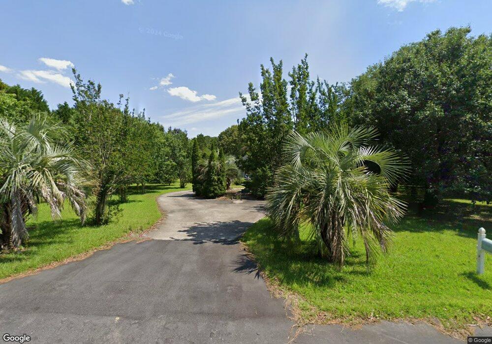
1165 Pointer Dr Manning, SC 29102
Estimated Value: $216,000 - $358,000
--
Bed
--
Bath
2,288
Sq Ft
$125/Sq Ft
Est. Value
About This Home
This home is located at 1165 Pointer Dr, Manning, SC 29102 and is currently estimated at $286,864, approximately $125 per square foot. 1165 Pointer Dr is a home with nearby schools including Manning Early Childhood Center, Manning Primary School, and Manning Elementary School.
Ownership History
Date
Name
Owned For
Owner Type
Purchase Details
Closed on
Aug 15, 2019
Sold by
Ridgill Jerrold L and Ridgill James L
Bought by
Burke Paul B
Current Estimated Value
Purchase Details
Closed on
Apr 30, 2019
Sold by
Ridgill Jean Claire J Est
Bought by
Ridgill Jerrold L and Ridgill James L
Purchase Details
Closed on
Apr 14, 2014
Sold by
The Estate Of James Lee Ridgill Jr and Ridgill Jean J
Bought by
Ridgill Jean L
Create a Home Valuation Report for This Property
The Home Valuation Report is an in-depth analysis detailing your home's value as well as a comparison with similar homes in the area
Home Values in the Area
Average Home Value in this Area
Purchase History
| Date | Buyer | Sale Price | Title Company |
|---|---|---|---|
| Burke Paul B | $125,000 | -- | |
| Ridgill Jerrold L | -- | -- | |
| Ridgill Jerrold L | -- | -- | |
| Ridgill Jean L | -- | None Available |
Source: Public Records
Tax History Compared to Growth
Tax History
| Year | Tax Paid | Tax Assessment Tax Assessment Total Assessment is a certain percentage of the fair market value that is determined by local assessors to be the total taxable value of land and additions on the property. | Land | Improvement |
|---|---|---|---|---|
| 2024 | $4,195 | $10,572 | $1,320 | $9,252 |
| 2023 | $4,085 | $10,572 | $1,320 | $9,252 |
| 2022 | $4,045 | $10,572 | $1,320 | $9,252 |
| 2021 | $3,462 | $9,960 | $1,320 | $8,640 |
| 2020 | $3,462 | $9,960 | $0 | $0 |
| 2019 | $3,711 | $11,154 | $0 | $0 |
| 2018 | $903 | $7,436 | $0 | $0 |
| 2017 | $904 | $7,436 | $0 | $0 |
| 2016 | $875 | $7,436 | $0 | $0 |
| 2015 | $921 | $7,648 | $880 | $6,768 |
| 2014 | $3,499 | $11,472 | $1,320 | $10,152 |
| 2013 | -- | $7,648 | $880 | $6,768 |
Source: Public Records
Map
Nearby Homes
- 1054 Hickory Ridge Cir
- TBD White Oak Dr
- 2985 Hwy 260
- 1023 Shortleaf Dr
- 1513 Loblolly Dr
- 1107 Long Leaf Dr
- 1868 Haseldon Dr
- 1158 Doral Dr
- 1639 Heritage Dr
- 1682 Heritage Dr
- 1060 Hideout Dr
- 605 Gib Dr
- 1085 Birdie Ct
- 623 Pickwood Dr
- 617 Pickwood Dr
- 1200 Mulligan Dr
- 1052 Mulligan Dr
- 1064 Mulligan Dr
- 1130 Mulligan Dr
- 1156 Mulligan Dr
- 1207 Pointer Dr
- 0 Pointer Dr
- 0 Pointer Dr
- 1117 Pointer Dr
- 1089 Sportsman Dr
- 1092 Sportsman Dr
- 1186 Pointer Dr
- 1152 Pointer Dr
- 1218 Pointer Dr
- 1130 Pointer Dr
- 1095 Webber St
- TBD Tbd Wyboo Ave
- 0 Joseph Lemon & Dingle Rd Tract #2 Unit 165776
- Lot 12 20 District
- n/a Green Lake Boat Slip #8
- N/A Woodlake Boat Slip #77
- TBD Plat A64-6 Wilson Farm Tract 18
- 00 Rd
- NA Woodlake Boat Slip #100
- n/a Woodlake Boat Slip #99
