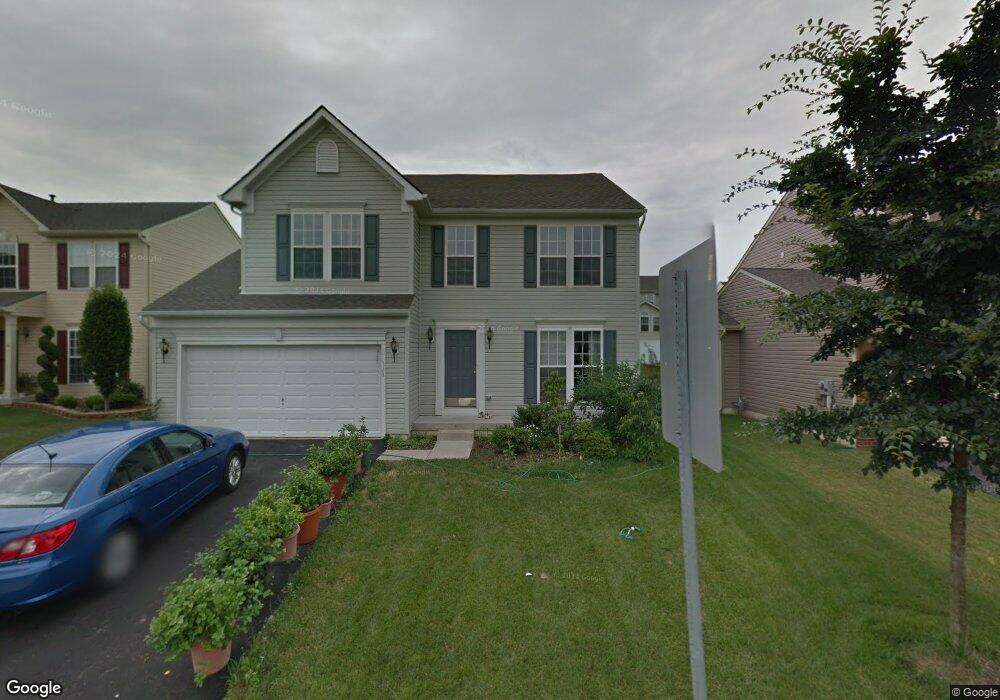
1165 Tyler Way Bethlehem, PA 18017
Estimated Value: $525,795 - $561,000
4
Beds
3
Baths
2,621
Sq Ft
$206/Sq Ft
Est. Value
About This Home
This home is located at 1165 Tyler Way, Bethlehem, PA 18017 and is currently estimated at $541,199, approximately $206 per square foot. 1165 Tyler Way is a home located in Northampton County with nearby schools including Asa Packer Elementary School, Nitschmann Middle School, and Liberty High School.
Ownership History
Date
Name
Owned For
Owner Type
Purchase Details
Closed on
Nov 29, 2006
Sold by
Nvr Inc
Bought by
Palanivelu Hari B
Current Estimated Value
Home Financials for this Owner
Home Financials are based on the most recent Mortgage that was taken out on this home.
Original Mortgage
$34,900
Interest Rate
6.03%
Mortgage Type
Stand Alone Second
Purchase Details
Closed on
Aug 14, 2006
Sold by
Hanover Pointe Assocs
Bought by
Nvr Inc
Create a Home Valuation Report for This Property
The Home Valuation Report is an in-depth analysis detailing your home's value as well as a comparison with similar homes in the area
Home Values in the Area
Average Home Value in this Area
Purchase History
| Date | Buyer | Sale Price | Title Company |
|---|---|---|---|
| Palanivelu Hari B | $358,990 | -- | |
| Nvr Inc | $94,850 | -- |
Source: Public Records
Mortgage History
| Date | Status | Borrower | Loan Amount |
|---|---|---|---|
| Closed | Palanivelu Hari B | $34,900 | |
| Open | Palanivelu Hari B | $287,000 |
Source: Public Records
Tax History
| Year | Tax Paid | Tax Assessment Tax Assessment Total Assessment is a certain percentage of the fair market value that is determined by local assessors to be the total taxable value of land and additions on the property. | Land | Improvement |
|---|---|---|---|---|
| 2025 | $1,104 | $102,200 | $21,800 | $80,400 |
| 2024 | $7,450 | $102,200 | $21,800 | $80,400 |
| 2023 | $7,476 | $102,200 | $21,800 | $80,400 |
| 2022 | $7,405 | $102,200 | $21,800 | $80,400 |
| 2021 | $7,345 | $102,200 | $21,800 | $80,400 |
| 2020 | $7,354 | $102,200 | $21,800 | $80,400 |
| 2019 | $7,325 | $102,200 | $21,800 | $80,400 |
| 2018 | $7,180 | $102,200 | $21,800 | $80,400 |
| 2017 | $7,128 | $102,200 | $21,800 | $80,400 |
| 2016 | -- | $102,200 | $21,800 | $80,400 |
| 2015 | -- | $102,200 | $21,800 | $80,400 |
| 2014 | -- | $102,200 | $21,800 | $80,400 |
Source: Public Records
Map
Nearby Homes
- 1360 Stonewood Dr
- 801 Yorkshire Rd
- 1305 Statten Ave
- 0 Rosewood Dr Unit 766427
- 2616 Pioneer Rd
- 1970 Rosewood Dr Unit Lot 6
- 1440 Greenview Dr
- 1322 Valley Rd
- 2713 Center St
- 105 Pine Top Trail
- 2860 Center St
- 1225 Brentwood Ave
- 1556 Bayberry Ln
- 2035 Drury Ln
- 5602 Grace Ave
- 2141 Catasauqua Rd
- 4410 Greenfield Rd
- 386 Johnston Dr
- 1453 Stanford Rd
- 1848 Ridgelawn Ave