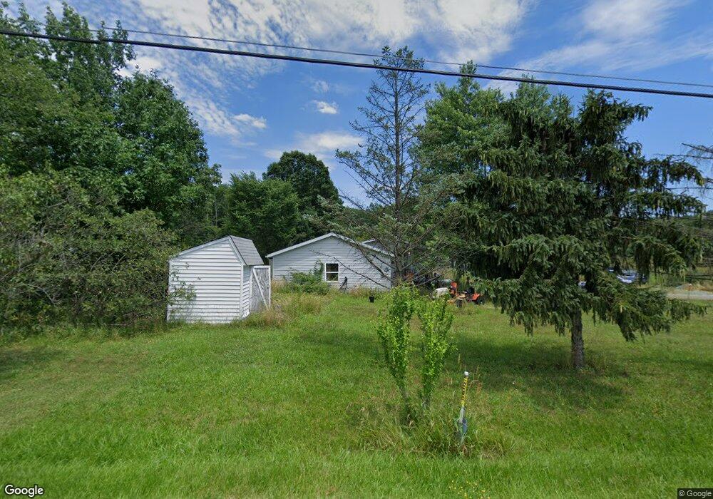
11651 Oyster Rd Alliance, OH 44601
Estimated Value: $66,000 - $186,614
3
Beds
2
Baths
--
Sq Ft
1.22
Acres
About This Home
This home is located at 11651 Oyster Rd, Alliance, OH 44601 and is currently estimated at $112,538. 11651 Oyster Rd is a home located in Mahoning County with nearby schools including West Branch Middle School, West Branch Early Learning Center, and West Branch High School.
Ownership History
Date
Name
Owned For
Owner Type
Purchase Details
Closed on
Aug 7, 2024
Sold by
Shutler Lisa M
Bought by
Shutler Andrew D
Current Estimated Value
Purchase Details
Closed on
Jan 23, 2018
Bought by
Shutler Rew D
Purchase Details
Closed on
Aug 24, 2011
Sold by
Courtney Inez
Bought by
Shutler Douglas L and Shutler Elizabeth M
Purchase Details
Closed on
Mar 10, 1997
Sold by
Rose Billy J
Bought by
Mindling Kyle
Purchase Details
Closed on
Mar 9, 1992
Bought by
Gayle Rose
Create a Home Valuation Report for This Property
The Home Valuation Report is an in-depth analysis detailing your home's value as well as a comparison with similar homes in the area
Home Values in the Area
Average Home Value in this Area
Purchase History
| Date | Buyer | Sale Price | Title Company |
|---|---|---|---|
| Shutler Andrew D | -- | None Listed On Document | |
| Shutler Andrew D | -- | None Listed On Document | |
| Shutler Rew D | -- | -- | |
| Shutler Douglas L | $32,000 | None Available | |
| Mindling Kyle | $89,000 | -- | |
| Gayle Rose | -- | -- |
Source: Public Records
Mortgage History
| Date | Status | Borrower | Loan Amount |
|---|---|---|---|
| Closed | Mindling Kyle | $0 |
Source: Public Records
Tax History Compared to Growth
Tax History
| Year | Tax Paid | Tax Assessment Tax Assessment Total Assessment is a certain percentage of the fair market value that is determined by local assessors to be the total taxable value of land and additions on the property. | Land | Improvement |
|---|---|---|---|---|
| 2024 | $389 | $10,680 | $5,600 | $5,080 |
| 2023 | $494 | $9,060 | $4,480 | $4,580 |
| 2022 | $360 | $9,060 | $4,480 | $4,580 |
| 2021 | $360 | $9,060 | $4,480 | $4,580 |
| 2020 | $362 | $9,060 | $4,480 | $4,580 |
| 2019 | $351 | $8,300 | $4,480 | $3,820 |
| 2018 | $358 | $8,300 | $4,480 | $3,820 |
| 2017 | $310 | $8,300 | $4,480 | $3,820 |
| 2016 | $264 | $6,200 | $2,460 | $3,740 |
| 2015 | $270 | $6,200 | $2,460 | $3,740 |
| 2014 | $258 | $6,200 | $2,460 | $3,740 |
| 2013 | $134 | $3,220 | $2,460 | $760 |
Source: Public Records
Map
Nearby Homes
- 15789 Coalbank St NE
- 15995 Elbrook St NE
- 15520 Coalbank St NE
- 15832 Waverly St NE
- 11310 Webb Ave NE
- 0 Knoll St NE
- 11344 Walnut Ave NE
- 652 N Webb Ave
- 263 Franklin Ave
- 1214 Jersey St
- 124 E Wayne St
- 710 N Freedom Ave
- 608 N Freedom Ave
- 505 N Union Ave
- 14723 Bolton St NE
- 361 E Main St
- 13600 Caldwell Ave
- 0 Homestead Ave NE
- V/L S Fredeom Ave
- 0 Meadowbrook Ave
- 11635 Oyster Rd
- 11642 Oyster Rd
- 11598 Oyster Rd
- 11787 Oyster Rd
- 11590 Oyster Rd
- 11511 Oyster Rd
- 11521 Oyster Rd
- 11925 Oyster Rd
- 17846 W South Range Rd
- 22447 W South Range Rd
- 22447 W South Range Rd
- 22559 W South Range Rd
- 22601 W South Range Rd
- 12100 Oyster Rd
- 22663 W South Range Rd
- 22505 W South Range Rd
- 11290 Oyster Rd
- 22733 W South Range Rd
- 12150 Oyster Rd
- 12210 Oyster Rd