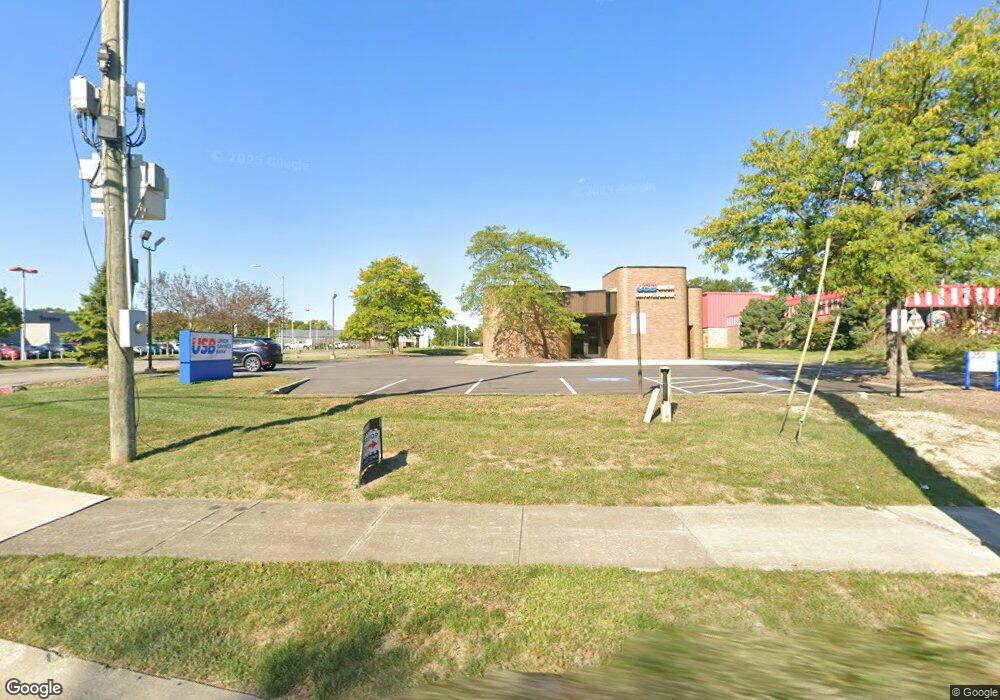
11654 Pearl Rd Strongsville, OH 44136
Estimated Value: $963,366
--
Bed
--
Bath
2,340
Sq Ft
$412/Sq Ft
Est. Value
About This Home
This home is located at 11654 Pearl Rd, Strongsville, OH 44136 and is currently estimated at $963,366, approximately $411 per square foot. 11654 Pearl Rd is a home located in Cuyahoga County with nearby schools including Strongsville High School and Sts Joseph & John Interparochial School.
Ownership History
Date
Name
Owned For
Owner Type
Purchase Details
Closed on
Dec 13, 2024
Sold by
St Paul & St Ethan Llc
Bought by
Union Savings Bank
Current Estimated Value
Purchase Details
Closed on
Dec 4, 2017
Sold by
First Merit Bank Na
Bought by
St Paul & St Ethan Llc
Purchase Details
Closed on
Aug 30, 1985
Bought by
First Nat Bank Of Ohio
Purchase Details
Closed on
Jan 1, 1980
Bought by
Central Natl Bank
Create a Home Valuation Report for This Property
The Home Valuation Report is an in-depth analysis detailing your home's value as well as a comparison with similar homes in the area
Home Values in the Area
Average Home Value in this Area
Purchase History
| Date | Buyer | Sale Price | Title Company |
|---|---|---|---|
| Union Savings Bank | $900,000 | None Listed On Document | |
| Union Savings Bank | $900,000 | None Listed On Document | |
| St Paul & St Ethan Llc | $278,200 | Hbi Title Serivces Inc | |
| First Nat Bank Of Ohio | $320,000 | -- | |
| Central Natl Bank | -- | -- |
Source: Public Records
Tax History Compared to Growth
Tax History
| Year | Tax Paid | Tax Assessment Tax Assessment Total Assessment is a certain percentage of the fair market value that is determined by local assessors to be the total taxable value of land and additions on the property. | Land | Improvement |
|---|---|---|---|---|
| 2024 | $7,617 | $106,120 | $68,320 | $37,800 |
| 2023 | $8,611 | $105,390 | $71,750 | $33,640 |
| 2022 | $8,589 | $105,390 | $71,750 | $33,640 |
| 2021 | $8,639 | $105,390 | $71,750 | $33,640 |
| 2020 | $8,474 | $100,350 | $68,320 | $32,030 |
| 2019 | $8,232 | $286,700 | $195,200 | $91,500 |
| 2018 | $12,240 | $100,350 | $68,320 | $32,030 |
| 2017 | $15,612 | $196,000 | $91,070 | $104,930 |
| 2016 | $15,523 | $216,620 | $91,070 | $125,550 |
| 2015 | $16,787 | $216,620 | $91,070 | $125,550 |
| 2014 | $16,787 | $216,620 | $91,070 | $125,550 |
Source: Public Records
Map
Nearby Homes
- 11499 Pearl Rd Unit A106
- 11432 Pearl Rd
- 19240 Briarwood Ln
- 11179 Fawn Meadow Ln
- 10986 Fawn Meadow Ln
- 12539 Olympus Way
- 18336 Falling Water Rd
- 12385 Corinth Ct
- 19997 Idlewood Trail
- 19890 Idlewood Trail
- 20050 Idlewood Trail
- 12647 Edgepark Cir
- 12694 Ionia Ct
- 11650 River Moss Rd
- 18248 Meadow Ln
- 13066 Olympus Way
- 13099 Olympus Way
- 13156 Olympus Way
- 17945 Cliffside Dr
- 17809 Cliffside Dr Unit 4926
- 19211 Co Moor Blvd
- 19247 Co Moor Blvd
- 11829 Pearl Rd
- 19235 Co Moor Blvd
- 11533 Co Moor Blvd
- 19259 Co Moor Blvd
- 11515 Co Moor Blvd
- 11497 Co Moor Blvd
- 19301 Co Moor Blvd
- 19313 Co Moor Blvd
- 11479 Co Moor Blvd
- 11474 Pearl Rd
- 11494 Co Moor Blvd
- 19325 Co Moor Blvd
- 11461 Co Moor Blvd
- 11745 Pearl Rd
- 11476 Co Moor Blvd
- 19337 Co Moor Blvd
- 11495 Pearl Rd Unit 105A
- 11491 Pearl Rd Unit A104