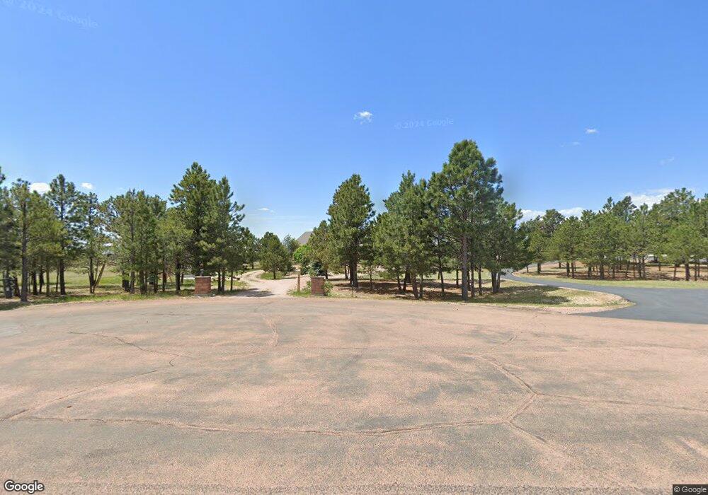
11655 Round Table Ct Colorado Springs, CO 80908
Estimated Value: $1,040,000 - $1,086,000
4
Beds
2
Baths
2,371
Sq Ft
$448/Sq Ft
Est. Value
About This Home
This home is located at 11655 Round Table Ct, Colorado Springs, CO 80908 and is currently estimated at $1,062,610, approximately $448 per square foot. 11655 Round Table Ct is a home located in El Paso County with nearby schools including Bennett Ranch Elementary School, Falcon Middle School, and Falcon High School.
Ownership History
Date
Name
Owned For
Owner Type
Purchase Details
Closed on
May 13, 2021
Sold by
Marine Guadalupe E and Marine Ernestine L
Bought by
Laucirica Donald P and Laucirica Judy A
Current Estimated Value
Home Financials for this Owner
Home Financials are based on the most recent Mortgage that was taken out on this home.
Original Mortgage
$548,250
Outstanding Balance
$496,851
Interest Rate
3.1%
Mortgage Type
New Conventional
Estimated Equity
$565,759
Purchase Details
Closed on
Oct 29, 2013
Sold by
Giles Frank R and Giles Jeanne I
Bought by
Marine Guadalupe R and Marine Ernestine L
Home Financials for this Owner
Home Financials are based on the most recent Mortgage that was taken out on this home.
Original Mortgage
$390,000
Interest Rate
4.28%
Mortgage Type
New Conventional
Purchase Details
Closed on
Feb 25, 2011
Sold by
Lockhart Thomas A and Lockhart Jennifer J
Bought by
Giles Frank R and Giles Jeanne L
Home Financials for this Owner
Home Financials are based on the most recent Mortgage that was taken out on this home.
Original Mortgage
$355,200
Interest Rate
4.7%
Mortgage Type
New Conventional
Purchase Details
Closed on
Nov 12, 2008
Sold by
Wells Fargo Bank Na
Bought by
Lockhart Thomas A and Lockhart Jennifer J
Home Financials for this Owner
Home Financials are based on the most recent Mortgage that was taken out on this home.
Original Mortgage
$417,000
Interest Rate
6.18%
Mortgage Type
Seller Take Back
Purchase Details
Closed on
Oct 22, 2004
Sold by
Stonecrest Homes Inc
Bought by
Brink Kenneth L
Home Financials for this Owner
Home Financials are based on the most recent Mortgage that was taken out on this home.
Original Mortgage
$440,000
Interest Rate
6.72%
Mortgage Type
New Conventional
Purchase Details
Closed on
Mar 3, 2004
Sold by
Transwestern Development Corp
Bought by
Stonecrest Homes Inc
Create a Home Valuation Report for This Property
The Home Valuation Report is an in-depth analysis detailing your home's value as well as a comparison with similar homes in the area
Home Values in the Area
Average Home Value in this Area
Purchase History
| Date | Buyer | Sale Price | Title Company |
|---|---|---|---|
| Laucirica Donald P | $850,000 | Heritage Title Company | |
| Marine Guadalupe R | $510,000 | None Available | |
| Giles Frank R | $444,000 | -- | |
| Lockhart Thomas A | $454,000 | Security Title | |
| Brink Kenneth L | $550,000 | Stewart Title | |
| Stonecrest Homes Inc | $125,000 | Unified Title Co Inc |
Source: Public Records
Mortgage History
| Date | Status | Borrower | Loan Amount |
|---|---|---|---|
| Open | Laucirica Donald P | $548,250 | |
| Previous Owner | Marine Guadalupe R | $390,000 | |
| Previous Owner | Giles Frank R | $355,200 | |
| Previous Owner | Lockhart Thomas A | $417,000 | |
| Previous Owner | Brink Kenneth L | $440,000 | |
| Closed | Brink Kenneth L | $110,000 |
Source: Public Records
Tax History Compared to Growth
Tax History
| Year | Tax Paid | Tax Assessment Tax Assessment Total Assessment is a certain percentage of the fair market value that is determined by local assessors to be the total taxable value of land and additions on the property. | Land | Improvement |
|---|---|---|---|---|
| 2025 | $4,492 | $69,170 | -- | -- |
| 2024 | $4,373 | $66,580 | $14,630 | $51,950 |
| 2022 | $4,009 | $57,750 | $11,330 | $46,420 |
| 2021 | $4,171 | $59,420 | $11,660 | $47,760 |
| 2020 | $3,662 | $51,940 | $10,190 | $41,750 |
| 2019 | $3,629 | $51,940 | $10,190 | $41,750 |
| 2018 | $3,052 | $42,940 | $8,280 | $34,660 |
| 2017 | $2,795 | $42,940 | $8,280 | $34,660 |
| 2016 | $2,728 | $41,360 | $9,160 | $32,200 |
| 2015 | $2,731 | $41,360 | $9,160 | $32,200 |
| 2014 | $2,783 | $41,360 | $9,320 | $32,040 |
Source: Public Records
Map
Nearby Homes
- 11824 Black Hills Dr
- 12155 Spine Creek Place
- 12190 Smoke Bluffs Rd
- 12150 Fox Brush Dr
- 11504 Blackcomb Trail
- 12188 Goodson Rd
- 12196 Goodson Rd
- 11134 Lobo Peak Dr
- 10973 Torreys Peak Way
- 12683 Fulford Ct
- 10932 Huron Peak Place
- 11960 Conestoga Trail S
- 12695 Black Hills Dr
- 0 Goodson Rd
- 10965 Long Summer Ct
- 12340 Oregon Wagon Trail
- 12692 Clark Peak Ct
- 11935 Conestoga Trail S
- The Brooklyn Plan at Latigo
- The Grand Royal Plan at Latigo
- 11615 Round Table Ct
- 11695 Round Table Ct
- 11610 Round Table Ct
- 11690 Round Table Ct
- 11680 N Meridian Rd
- 11710 N Meridian Rd
- 11870 Sir Galahad Dr
- 11910 Sir Galahad Dr
- 11955 Sir Galahad Dr
- 11650 N Meridian Rd
- 11995 Sir Galahad Dr
- 11854 Broken Antler Ct
- 11795 Sir Galahad Dr
- 11804 Broken Antler Ct
- 11804 Broken Antler Ct
- 11990 Sir Galahad Dr
- 11904 Broken Antler Ct
- 11954 Broken Antler Ct
- 11490 Guinevere Ct
- 11755 Sir Galahad Dr