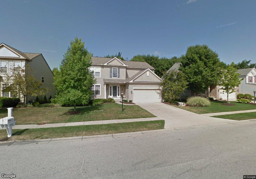
1166 Molland Dr Brunswick, OH 44212
Estimated Value: $377,855 - $390,000
4
Beds
3
Baths
1,972
Sq Ft
$194/Sq Ft
Est. Value
About This Home
This home is located at 1166 Molland Dr, Brunswick, OH 44212 and is currently estimated at $382,714, approximately $194 per square foot. 1166 Molland Dr is a home located in Medina County with nearby schools including Applewood Elementary School, Willets Middle School, and Brunswick High School.
Ownership History
Date
Name
Owned For
Owner Type
Purchase Details
Closed on
Sep 10, 2003
Sold by
Pulte Homes Of Ohio Llc
Bought by
Flood Drew L and Flood Melissa M
Current Estimated Value
Home Financials for this Owner
Home Financials are based on the most recent Mortgage that was taken out on this home.
Original Mortgage
$166,330
Outstanding Balance
$78,484
Interest Rate
6.49%
Mortgage Type
Purchase Money Mortgage
Estimated Equity
$304,230
Create a Home Valuation Report for This Property
The Home Valuation Report is an in-depth analysis detailing your home's value as well as a comparison with similar homes in the area
Home Values in the Area
Average Home Value in this Area
Purchase History
| Date | Buyer | Sale Price | Title Company |
|---|---|---|---|
| Flood Drew L | $201,400 | Pulte Title Agency Llc |
Source: Public Records
Mortgage History
| Date | Status | Borrower | Loan Amount |
|---|---|---|---|
| Open | Flood Drew L | $166,330 |
Source: Public Records
Tax History Compared to Growth
Tax History
| Year | Tax Paid | Tax Assessment Tax Assessment Total Assessment is a certain percentage of the fair market value that is determined by local assessors to be the total taxable value of land and additions on the property. | Land | Improvement |
|---|---|---|---|---|
| 2024 | $5,149 | $91,260 | $28,220 | $63,040 |
| 2023 | $5,149 | $91,260 | $28,220 | $63,040 |
| 2022 | $4,890 | $91,260 | $28,220 | $63,040 |
| 2021 | $4,343 | $71,300 | $22,050 | $49,250 |
| 2020 | $3,944 | $71,300 | $22,050 | $49,250 |
| 2019 | $3,945 | $71,300 | $22,050 | $49,250 |
| 2018 | $3,727 | $64,820 | $18,140 | $46,680 |
| 2017 | $3,732 | $64,820 | $18,140 | $46,680 |
| 2016 | $3,781 | $64,820 | $18,140 | $46,680 |
| 2015 | $3,492 | $60,020 | $16,800 | $43,220 |
| 2014 | $3,484 | $60,020 | $16,800 | $43,220 |
| 2013 | $3,490 | $60,020 | $16,800 | $43,220 |
Source: Public Records
Map
Nearby Homes
- 0 Terrington Dr Unit 4467162
- 5101 Center Rd
- 5035 Center Rd
- 959 Overton Dr
- 1202 Substation Rd
- 5283 Redford Dr Unit 79
- 4928 Treeline Dr
- 5046 Forestland Ct
- 878 Glenrock Dr
- 892 Crabapple Dr
- 4910 Fallen Leaf Trail
- 841 Substation Rd
- 4913 Fallen Leaf Trail
- 833 Substation Rd
- 1151 Mulberry Ln
- 5236 Creekside Blvd Unit H31
- 5236 Creekside Blvd Unit J44
- 4684 Wolff Dr
- 1389 Mussel Shoals Dr
- 626 Juniper Ln
- 1172 Molland Dr
- 1162 Molland Dr
- 1180 Molland Dr
- 1152 Molland Dr
- 1163 Molland Dr
- 1161 Molland Dr
- 1144 Molland Dr
- 1190 Molland Dr
- 1177 Molland Dr
- 1181 Molland Dr
- 1151 Molland Dr
- 1136 Molland Dr
- 1137 Molland Dr
- 1196 Molland Dr
- 1145 Molland Dr
- 1189 Molland Dr
- 1200 Molland Dr
- 1130 Molland Dr
- 1195 Molland Dr
- 1140 Terrington Dr