Estimated Value: $159,000 - $260,000
4
Beds
2
Baths
1,444
Sq Ft
$141/Sq Ft
Est. Value
About This Home
This home is located at 1166 Powersville Rd, Byron, GA 31008 and is currently estimated at $204,018, approximately $141 per square foot. 1166 Powersville Rd is a home located in Peach County with nearby schools including Kay Road Elementary School, Fort Valley Middle School, and Peach County High School.
Ownership History
Date
Name
Owned For
Owner Type
Purchase Details
Closed on
Mar 6, 2017
Sold by
Ditech Financial Llc
Bought by
Mule Creek Developments Inc
Current Estimated Value
Purchase Details
Closed on
Oct 4, 2016
Sold by
John
Bought by
Ditech Financial Llc
Purchase Details
Closed on
Feb 26, 2004
Sold by
Walter Mortgage Company
Bought by
Meeks John and Meeks Jackie
Purchase Details
Closed on
Feb 1, 2004
Sold by
Jim Walter Homes Inc
Bought by
Walter Mortgage Company
Purchase Details
Closed on
Dec 2, 2003
Sold by
Walter Mortgage Company
Bought by
Jim Walter Homes Inc
Purchase Details
Closed on
Nov 11, 2003
Sold by
Golden Star Management Ltd
Bought by
Lowe Gary K and Lowe Angeletta
Purchase Details
Closed on
Nov 7, 1992
Bought by
Lowe Gary K and Lowe Angeletta
Create a Home Valuation Report for This Property
The Home Valuation Report is an in-depth analysis detailing your home's value as well as a comparison with similar homes in the area
Home Values in the Area
Average Home Value in this Area
Purchase History
| Date | Buyer | Sale Price | Title Company |
|---|---|---|---|
| Mule Creek Developments Inc | $27,800 | -- | |
| Ditech Financial Llc | $49,900 | -- | |
| Meeks John | $60,000 | -- | |
| Walter Mortgage Company | -- | -- | |
| Walter Mortgage Company | -- | -- | |
| Jim Walter Homes Inc | -- | -- | |
| Lowe Gary K | -- | -- | |
| Lowe Gary K | $1,000 | -- |
Source: Public Records
Tax History Compared to Growth
Tax History
| Year | Tax Paid | Tax Assessment Tax Assessment Total Assessment is a certain percentage of the fair market value that is determined by local assessors to be the total taxable value of land and additions on the property. | Land | Improvement |
|---|---|---|---|---|
| 2024 | $1,550 | $50,440 | $12,200 | $38,240 |
| 2023 | $1,312 | $41,520 | $8,400 | $33,120 |
| 2022 | $1,208 | $37,280 | $8,400 | $28,880 |
| 2021 | $1,207 | $32,120 | $8,400 | $23,720 |
| 2020 | $1,334 | $36,200 | $8,400 | $27,800 |
| 2019 | $1,313 | $35,360 | $8,400 | $26,960 |
| 2018 | $555 | $35,360 | $8,400 | $26,960 |
| 2017 | $1,325 | $35,360 | $8,400 | $26,960 |
| 2016 | $1,278 | $36,040 | $9,080 | $26,960 |
| 2015 | $1,227 | $34,360 | $7,400 | $26,960 |
| 2014 | $1,228 | $34,360 | $7,400 | $26,960 |
| 2013 | -- | $34,360 | $7,400 | $26,960 |
Source: Public Records
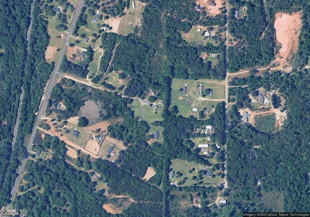
Map
Nearby Homes
- 555 Kimberly Dr
- 0 Barker Rd Unit 243030
- 0 Barker Rd Unit 14258525
- 0 Barker Rd Unit 175053
- 165 Lakeview Rd
- 81 Idell Ct
- 127 Hawks Ridge Trace
- 510 Southland Trail
- 152 Hawks Ridge Trace
- 117 Hawks Ridge Trace
- 120 Hawks Ridge Trace
- 120 Hawks Place
- 408 Dixieland Dr
- 107 Red Tail Cir
- 109 Red Tail Cir
- 219 Rowland Cir
- 199 Red Tail Cir
- 39 English Ct
- 302 Southland Trail
- 1170 Powersville Rd
- 1072 Powersville Rd
- 11 Short Ln
- 1164 Powersville Rd
- 450 Kimberly Dr
- 488 Kimberly Dr
- 1044 Powersville Rd
- 564 Kimberly Dr
- 286 Kimberly Dr
- 1060 Powersville Rd
- 1002 Powersville Rd
- 246 Kimberly Dr
- 401 Kimberly Dr
- 1222 Powersville Rd
- 1244 Powersville Rd
- 1354 Powersville Rd
- 1318 Powersville Rd
- 353 Kimberly Dr
- 570 Kimberly Dr
- 0 Cumberland Shores Subdivision