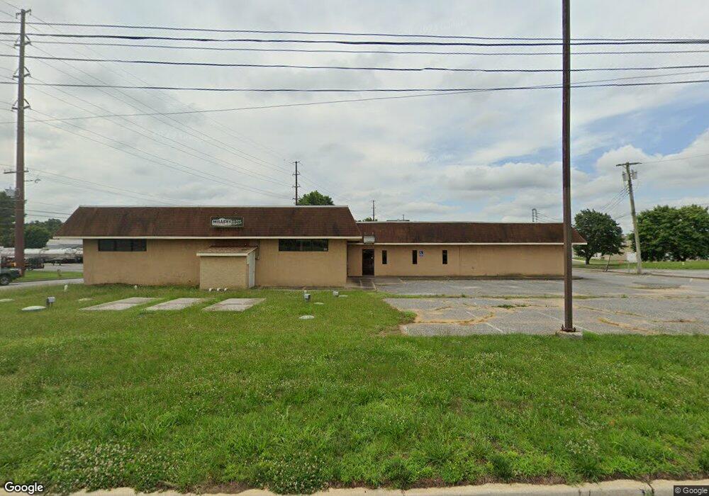
1166 Route 40 Pilesgrove, NJ 08098
Estimated Value: $422,185
--
Bed
--
Bath
3,219
Sq Ft
$131/Sq Ft
Est. Value
About This Home
This home is located at 1166 Route 40, Pilesgrove, NJ 08098 and is currently estimated at $422,185, approximately $131 per square foot. 1166 Route 40 is a home located in Salem County with nearby schools including Mary S. Shoemaker School, Woodstown Middle School, and Woodstown High School.
Ownership History
Date
Name
Owned For
Owner Type
Purchase Details
Closed on
May 2, 2019
Sold by
Milelr Richard and Mille Mary
Bought by
Esh John and Esh Linda
Current Estimated Value
Purchase Details
Closed on
Aug 4, 2015
Sold by
Miller Richard and Miller Mary
Bought by
Miller Richard and Miller Mary
Purchase Details
Closed on
Jun 27, 2014
Sold by
Doble Ethel M
Bought by
Miller Richard and Miller Mary
Create a Home Valuation Report for This Property
The Home Valuation Report is an in-depth analysis detailing your home's value as well as a comparison with similar homes in the area
Home Values in the Area
Average Home Value in this Area
Purchase History
| Date | Buyer | Sale Price | Title Company |
|---|---|---|---|
| Esh John | $242,000 | West Jersey Title Agency Of | |
| Miller Richard | -- | None Available | |
| Miller Richard | $400,000 | West Jersey Title Agency |
Source: Public Records
Tax History Compared to Growth
Tax History
| Year | Tax Paid | Tax Assessment Tax Assessment Total Assessment is a certain percentage of the fair market value that is determined by local assessors to be the total taxable value of land and additions on the property. | Land | Improvement |
|---|---|---|---|---|
| 2025 | $20,631 | $564,300 | $179,600 | $384,700 |
| 2024 | $20,930 | $564,300 | $179,600 | $384,700 |
| 2023 | $20,930 | $564,300 | $179,600 | $384,700 |
| 2022 | $19,717 | $564,300 | $179,600 | $384,700 |
| 2021 | $17,798 | $564,300 | $179,600 | $384,700 |
| 2020 | $18,334 | $564,300 | $179,600 | $384,700 |
| 2019 | $17,798 | $564,300 | $179,600 | $384,700 |
| 2018 | $17,087 | $564,300 | $179,600 | $384,700 |
| 2017 | $16,528 | $564,300 | $179,600 | $384,700 |
| 2016 | $13,971 | $497,200 | $112,500 | $384,700 |
| 2015 | $12,927 | $497,200 | $112,500 | $384,700 |
| 2014 | $12,450 | $497,200 | $112,500 | $384,700 |
Source: Public Records
Map
Nearby Homes
- 236 E Lake Rd
- 178 E Millbrooke Ave
- 8 Eichmann Way
- 29 Kingsberry Ln
- 73 Kingsberry Ln
- 96 Kingsberry Ln
- 47 Dickinson St
- 36 Bowen Ave
- 444 S Main St
- 440 Bailey St
- 50 Colson Ct
- 438 Bailey St
- L13 Highway 40 W
- 15 E Grant St
- 133 Spring Garden St
- 35 Green St
- 39 Green St
- 76 West Ave
- 64 W Millbrooke Ave
- 230 Point Airy Rd