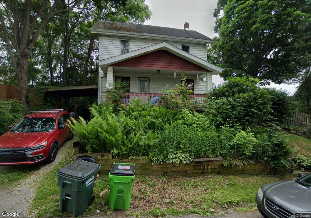
1166 South Ave Barberton, OH 44203
Columbia Lake NeighborhoodEstimated Value: $109,000 - $132,000
2
Beds
1
Bath
1,088
Sq Ft
$109/Sq Ft
Est. Value
About This Home
This home is located at 1166 South Ave, Barberton, OH 44203 and is currently estimated at $118,732, approximately $109 per square foot. 1166 South Ave is a home located in Summit County with nearby schools including Barberton Middle School, Barberton High School, and St Augustine Elementary School.
Ownership History
Date
Name
Owned For
Owner Type
Purchase Details
Closed on
Mar 5, 2012
Sold by
Spohn Joseph P and Spohn Carol A
Bought by
Shad Bush Llc
Current Estimated Value
Purchase Details
Closed on
Apr 11, 2007
Sold by
Deutsche Bank National Trust Co
Bought by
Spohn Joseph P
Purchase Details
Closed on
Mar 13, 2006
Sold by
Catella Stacey L
Bought by
Deutsche Bank National Trust Co and New Century Home Equity Loan Trust Serie
Purchase Details
Closed on
Mar 15, 2004
Sold by
Danes Robert
Bought by
Catella Stacey L
Home Financials for this Owner
Home Financials are based on the most recent Mortgage that was taken out on this home.
Original Mortgage
$55,920
Interest Rate
8.3%
Mortgage Type
Purchase Money Mortgage
Purchase Details
Closed on
Dec 15, 2003
Sold by
Estate Of Mildred A Danes
Bought by
Danes Robert
Create a Home Valuation Report for This Property
The Home Valuation Report is an in-depth analysis detailing your home's value as well as a comparison with similar homes in the area
Home Values in the Area
Average Home Value in this Area
Purchase History
| Date | Buyer | Sale Price | Title Company |
|---|---|---|---|
| Shad Bush Llc | -- | Attorney | |
| Spohn Joseph P | $39,500 | -- | |
| Deutsche Bank National Trust Co | $48,000 | None Available | |
| Catella Stacey L | $69,900 | First Security Title Corpora | |
| Danes Robert | -- | -- |
Source: Public Records
Mortgage History
| Date | Status | Borrower | Loan Amount |
|---|---|---|---|
| Previous Owner | Catella Stacey L | $55,920 |
Source: Public Records
Tax History Compared to Growth
Tax History
| Year | Tax Paid | Tax Assessment Tax Assessment Total Assessment is a certain percentage of the fair market value that is determined by local assessors to be the total taxable value of land and additions on the property. | Land | Improvement |
|---|---|---|---|---|
| 2025 | $1,692 | $31,392 | $7,063 | $24,329 |
| 2024 | $1,611 | $31,392 | $7,063 | $24,329 |
| 2023 | $1,692 | $31,392 | $7,063 | $24,329 |
| 2022 | $1,132 | $19,135 | $4,281 | $14,854 |
| 2021 | $1,131 | $19,135 | $4,281 | $14,854 |
| 2020 | $1,107 | $19,130 | $4,280 | $14,850 |
| 2019 | $1,003 | $15,690 | $4,280 | $11,410 |
| 2018 | $988 | $15,690 | $4,280 | $11,410 |
| 2017 | $1,001 | $15,690 | $4,280 | $11,410 |
| 2016 | $1,003 | $15,690 | $4,280 | $11,410 |
| 2015 | $1,001 | $15,690 | $4,280 | $11,410 |
| 2014 | $996 | $15,690 | $4,280 | $11,410 |
| 2013 | $1,098 | $17,940 | $4,280 | $13,660 |
Source: Public Records
Map
Nearby Homes
- 38 24th St NW
- 1084 Wooster Rd W
- 139 24th St NW
- 21 29th St SW
- 1080 Belleview Ave
- 32 29th St SW
- 1364 Wooster Rd W
- 243 27th St NW
- 1253 Prospect St
- 1125 Prospect St
- V/L Benton
- 173 21st St NW
- 1361 Prospect St
- 207 28th St SW
- 1450 Wooster Rd W
- 4568 Krancz Dr
- 1278 Noble St
- 100 Meadow Ct
- 1030 Stratford St
- 376 Hillsdale Ave