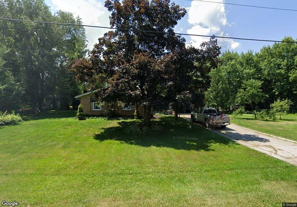
1166 W Severs Rd La Porte, IN 46350
Estimated Value: $248,032 - $348,000
3
Beds
2
Baths
1,365
Sq Ft
$216/Sq Ft
Est. Value
About This Home
This home is located at 1166 W Severs Rd, La Porte, IN 46350 and is currently estimated at $295,008, approximately $216 per square foot. 1166 W Severs Rd is a home located in LaPorte County with nearby schools including Prescott Elementary School, F. Willard Crichfield Elementary School, and La Porte High School.
Ownership History
Date
Name
Owned For
Owner Type
Purchase Details
Closed on
Aug 28, 2012
Sold by
Wright Michael A
Bought by
Schaefer L Mark
Current Estimated Value
Home Financials for this Owner
Home Financials are based on the most recent Mortgage that was taken out on this home.
Original Mortgage
$121,754
Outstanding Balance
$83,890
Interest Rate
3.48%
Mortgage Type
FHA
Estimated Equity
$211,118
Purchase Details
Closed on
Dec 16, 2011
Sold by
Hill Kathy S
Bought by
Wright Michael A
Create a Home Valuation Report for This Property
The Home Valuation Report is an in-depth analysis detailing your home's value as well as a comparison with similar homes in the area
Home Values in the Area
Average Home Value in this Area
Purchase History
| Date | Buyer | Sale Price | Title Company |
|---|---|---|---|
| Schaefer L Mark | -- | Chicago Title Insurance Co | |
| Wright Michael A | -- | None Available |
Source: Public Records
Mortgage History
| Date | Status | Borrower | Loan Amount |
|---|---|---|---|
| Open | Schaefer L Mark | $121,754 |
Source: Public Records
Tax History Compared to Growth
Tax History
| Year | Tax Paid | Tax Assessment Tax Assessment Total Assessment is a certain percentage of the fair market value that is determined by local assessors to be the total taxable value of land and additions on the property. | Land | Improvement |
|---|---|---|---|---|
| 2024 | $1,597 | $181,600 | $28,800 | $152,800 |
| 2022 | $1,639 | $174,700 | $28,800 | $145,900 |
| 2021 | $1,518 | $162,100 | $28,800 | $133,300 |
| 2020 | $1,492 | $162,100 | $28,800 | $133,300 |
| 2019 | $1,535 | $163,500 | $36,900 | $126,600 |
| 2018 | $1,300 | $147,500 | $26,300 | $121,200 |
| 2017 | $1,142 | $140,900 | $25,400 | $115,500 |
| 2016 | $1,023 | $132,100 | $14,700 | $117,400 |
| 2014 | $1,072 | $139,400 | $14,700 | $124,700 |
Source: Public Records
Map
Nearby Homes
- 865 W 200 N
- 169 W Mcclung Rd Unit 201
- 169 W Mcclung Rd Unit 203
- 1944 Park St
- 1960 Park St
- 1964 Park St
- 1962 Park St
- 125 W Mcclung Rd
- 195 W Mcclung Rd
- 199 W Mcclung Rd
- 0 N Kuchar Dr Unit NRA812041
- 610 Home St
- 0 W 250 N
- 222 Roosevelt St
- 206 Outlook Cove Dr
- 306 Outlook Cove Dr
- 161 W Mcclung Rd
- 506 Pulaski St
- 0 W Lot 81 Concord Dr Unit NRA809376
- 0 W 450 St N Unit NRA827579
- 2005 N Meadow Ln
- 1145 W Severs Rd
- 1199 W Severs Rd
- 1989 N Meadow Ln
- 2022 N Meadow Ln
- 2002 N Meadow Ln
- 1122 W Severs Rd
- 1218 W Severs Rd
- 1123 W Severs Rd
- 1988 N Meadow Ln
- 1144 W Swanson Dr
- 1225 W Severs Rd
- 1966 N Meadow Ln
- 2088 N Luginbill Dr
- 1166 W Swanson Dr
- 1188 W Swanson Dr
- 1933 N Meadow Ln
- 1101 W Severs Rd
- 2087 N Luginbill Dr
- 1944 N Meadow Ln