11663 Brook Ln Hayward, WI 54843
Estimated Value: $449,689 - $500,000
3
Beds
2
Baths
2,000
Sq Ft
$239/Sq Ft
Est. Value
About This Home
This home is located at 11663 Brook Ln, Hayward, WI 54843 and is currently estimated at $477,922, approximately $238 per square foot. 11663 Brook Ln is a home with nearby schools including Hayward Primary School, Hayward Intermediate School, and Hayward Middle School.
Ownership History
Date
Name
Owned For
Owner Type
Purchase Details
Closed on
Jul 12, 2022
Sold by
J. Fores Kevin
Bought by
Kevin J Fores Living Trust Dated July 1
Current Estimated Value
Purchase Details
Closed on
Jun 28, 2019
Sold by
Swift Cynthia A
Bought by
Fores Kevin J
Purchase Details
Closed on
Feb 25, 2011
Sold by
Swift Cynthia A Cynthia A
Bought by
Scheer Fred C
Create a Home Valuation Report for This Property
The Home Valuation Report is an in-depth analysis detailing your home's value as well as a comparison with similar homes in the area
Home Values in the Area
Average Home Value in this Area
Purchase History
| Date | Buyer | Sale Price | Title Company |
|---|---|---|---|
| Kevin J Fores Living Trust Dated July 1 | $270,600 | Attorney Julie M. Maslowski | |
| Fores Kevin J | $295,000 | -- | |
| Scheer Fred C | $205,000 | -- |
Source: Public Records
Tax History Compared to Growth
Tax History
| Year | Tax Paid | Tax Assessment Tax Assessment Total Assessment is a certain percentage of the fair market value that is determined by local assessors to be the total taxable value of land and additions on the property. | Land | Improvement |
|---|---|---|---|---|
| 2024 | $2,919 | $224,400 | $29,300 | $195,100 |
| 2023 | $2,595 | $224,400 | $29,300 | $195,100 |
| 2022 | $2,666 | $224,400 | $29,300 | $195,100 |
| 2021 | $2,455 | $224,400 | $29,300 | $195,100 |
| 2020 | $2,468 | $224,400 | $29,300 | $195,100 |
| 2019 | $2,249 | $224,400 | $29,300 | $195,100 |
| 2018 | $2,244 | $224,400 | $29,300 | $195,100 |
| 2017 | $2,220 | $224,400 | $29,300 | $195,100 |
| 2016 | $2,063 | $205,000 | $29,300 | $175,700 |
| 2015 | $2,081 | $205,000 | $29,300 | $175,700 |
| 2014 | $2,022 | $205,000 | $29,300 | $175,700 |
| 2013 | $2,242 | $216,200 | $32,800 | $183,400 |
Source: Public Records
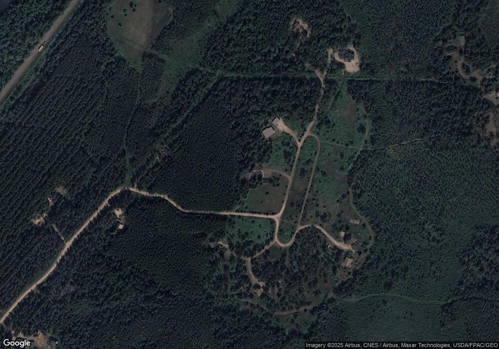
Map
Nearby Homes
- Lot 59 Brook Ln
- Lot 60 Brook Ln
- Lot 72 N Phipps Rd
- 0 Brook Ln Unit 1592671
- 12011 N Us Highway 63
- 11960 N US Highway 63
- 14817 N Airport Rd
- Lot 1 W Nelson Lake Rd
- 0 Airport Rd Unit 1589666
- 0 Airport Rd Unit 1594279
- 15249 W Bills Rd Unit 5
- 15249 W Bills Rd Unit 4
- x22 Tanning Point Rd
- 14912 N Airport Rd
- 12141 N Wagner Cir
- 15326 W Birch Point Rd Unit 17
- 15326 W Birch Point Rd Unit 18
- 15326 W Birch Point Rd Unit 15-21
- 15326 W Birch Point Rd
- Lot 36 Hatchery Rd
- 11643 Brook Ln
- 11631 Brook Ln
- 11647 Brook Ln
- 11655 Brook Ln
- 11622N Brook Ln
- 11682 Brook Ln
- 11622 Brook Ln
- Lot 70 Brook Ln
- 11597 Brook Ln
- 11592 Brook Ln
- Lot 47 Brook Ln
- Lot 62 Brook Ln
- Lot 49 Brook Ln
- 50 Brook Ln
- Lot 39 Brook Ln
- Lot 63 Brook Ln
- Lot 100 Brook Ln
- Lot 67 Brook Ln
- 14350 W Skiers Ln
- 14343 W Skiers Ln