11667 Walnut Hill Rd Garfield, AR 72732
Estimated Value: $556,000 - $1,936,000
--
Bed
1
Bath
2,434
Sq Ft
$381/Sq Ft
Est. Value
About This Home
This home is located at 11667 Walnut Hill Rd, Garfield, AR 72732 and is currently estimated at $927,644, approximately $381 per square foot. 11667 Walnut Hill Rd is a home with nearby schools including Frank Tillery Elementary School, Lingle Middle School, and Rogers Heritage High School.
Ownership History
Date
Name
Owned For
Owner Type
Purchase Details
Closed on
Apr 1, 2015
Sold by
Hedden Darlene Ann
Bought by
Botson Michael and Botson Elizabeth
Current Estimated Value
Home Financials for this Owner
Home Financials are based on the most recent Mortgage that was taken out on this home.
Original Mortgage
$305,000
Interest Rate
3.82%
Mortgage Type
Construction
Purchase Details
Closed on
May 24, 1954
Bought by
Undernehr
Create a Home Valuation Report for This Property
The Home Valuation Report is an in-depth analysis detailing your home's value as well as a comparison with similar homes in the area
Home Values in the Area
Average Home Value in this Area
Purchase History
| Date | Buyer | Sale Price | Title Company |
|---|---|---|---|
| Botson Michael | $45,220 | Pci Advance Title Llc | |
| Undernehr | -- | -- |
Source: Public Records
Mortgage History
| Date | Status | Borrower | Loan Amount |
|---|---|---|---|
| Closed | Botson Michael | $305,000 |
Source: Public Records
Tax History Compared to Growth
Tax History
| Year | Tax Paid | Tax Assessment Tax Assessment Total Assessment is a certain percentage of the fair market value that is determined by local assessors to be the total taxable value of land and additions on the property. | Land | Improvement |
|---|---|---|---|---|
| 2025 | $2,976 | $97,050 | $6,799 | $90,251 |
| 2024 | $2,689 | $97,050 | $6,799 | $90,251 |
| 2023 | $2,371 | $58,550 | $5,030 | $53,520 |
| 2022 | $2,219 | $58,550 | $5,030 | $53,520 |
| 2021 | $2,103 | $58,550 | $5,030 | $53,520 |
| 2020 | $1,999 | $43,010 | $1,880 | $41,130 |
| 2019 | $1,999 | $43,010 | $1,880 | $41,130 |
| 2018 | $2,024 | $43,010 | $1,880 | $41,130 |
| 2017 | $34 | $43,010 | $1,880 | $41,130 |
| 2016 | $34 | $600 | $600 | $0 |
| 2015 | -- | $690 | $690 | $0 |
| 2014 | -- | $690 | $690 | $0 |
Source: Public Records
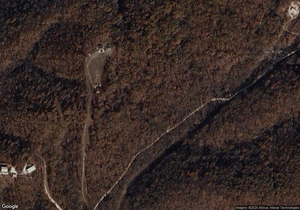
Map
Nearby Homes
- 16969 Posy Mountain Rd
- TBD Posy Mountain Rd
- 11323 Coose Hollow Park
- 3AC (Tract 5) Sallie Dr
- 3.5AC (Tract 4) Sallie Dr
- 4.5AC (Tract 3) Sallie Dr
- 5AC (Tract 2) Sallie Dr
- 11499 (Tract 1) Sallie Dr
- 11520 White Feather Rd
- 18084 Posy Mountain Dr
- 0 Arabian Drive Unit #10 - Lots 426 427 428 Dr Unit 1308220
- TBD Lot 41 Shire Ln
- 11258 Silver Cloud Trail
- TBD Arabian Dr
- L209 Arabian Dr
- 12092 Guyll Ridge Rd
- Lots 9,10,11 Lakeside Dr
- Lot 8 Lakeside Dr
- Lot 10 Hawks Nest Dr
- 0 Appaloosa Dr
- 11581 Walnut Hill Rd
- 12060 Coose Hollow West Rd
- 12060 Coose Hollow West Rd
- 11917 Walnut Hill Rd
- 11957 Walnut Hill Rd
- 11912 Walnut Hill Rd
- 0 Coose Hollow Dr Unit 696416
- 0 Coose Hollow Dr Unit 1203548
- 16914 Posy Mountain Rd
- 12302 Mike Scott Rd
- 12302 Mike Scott Rd
- 16694 Posy Mountain Rd
- 0 Coose Hollow Rd Unit 1227377
- 0 Coose Hollow Rd Unit 650839
- 16711 Posy Mountain Rd
- 11979 Coose Hollow West Rd
- Lot 2 Posy Mountain Rd
- 4.28AC N Posy Mountain Rd
- 16991 Posy Mountain Rd
- 0 Posy Mountain Rd Honeysuckle