11668 Burns Rd Carleton, MI 48117
Estimated Value: $430,000 - $512,000
Studio
--
Bath
--
Sq Ft
436,036
Sq Ft Lot
About This Home
This home is located at 11668 Burns Rd, Carleton, MI 48117 and is currently estimated at $467,783. 11668 Burns Rd is a home located in Monroe County with nearby schools including Airport Senior High School, St. Patrick Elementary School, and Carleton Community Baptist.
Ownership History
Date
Name
Owned For
Owner Type
Purchase Details
Closed on
Apr 26, 2018
Sold by
Baxter Michael D and Baxter Kimberly R
Bought by
Baxter Michael D and Baxter Kimberly R
Current Estimated Value
Purchase Details
Closed on
Apr 25, 2018
Sold by
Michael D Baxter Revocable Living Trust
Bought by
Baxter Michael D and Baxter Kimberly R
Purchase Details
Closed on
Sep 25, 2015
Sold by
Baxter Michael D and Baxter Kimberly R
Bought by
Baxter Michael D
Create a Home Valuation Report for This Property
The Home Valuation Report is an in-depth analysis detailing your home's value as well as a comparison with similar homes in the area
Home Values in the Area
Average Home Value in this Area
Purchase History
| Date | Buyer | Sale Price | Title Company |
|---|---|---|---|
| Baxter Michael D | -- | None Listed On Document | |
| Baxter Michael D | -- | None Listed On Document | |
| Baxter Michael D | -- | None Available | |
| Baxter Michael D | -- | None Available |
Source: Public Records
Tax History
| Year | Tax Paid | Tax Assessment Tax Assessment Total Assessment is a certain percentage of the fair market value that is determined by local assessors to be the total taxable value of land and additions on the property. | Land | Improvement |
|---|---|---|---|---|
| 2025 | $1,703 | $228,600 | $228,600 | $0 |
| 2024 | $1,652 | $211,900 | $0 | $0 |
| 2023 | $1,573 | $181,700 | $0 | $0 |
| 2022 | $4,337 | $181,700 | $0 | $0 |
| 2021 | $4,251 | $178,500 | $0 | $0 |
| 2020 | $4,251 | $165,100 | $0 | $0 |
| 2019 | $4,221 | $165,100 | $0 | $0 |
| 2018 | $4,184 | $155,100 | $0 | $0 |
| 2017 | $4,044 | $155,100 | $0 | $0 |
| 2016 | $4,048 | $141,100 | $0 | $0 |
| 2015 | $3,974 | $124,500 | $0 | $0 |
| 2014 | $3,977 | $124,500 | $0 | $0 |
| 2013 | -- | $117,900 | $0 | $0 |
Source: Public Records
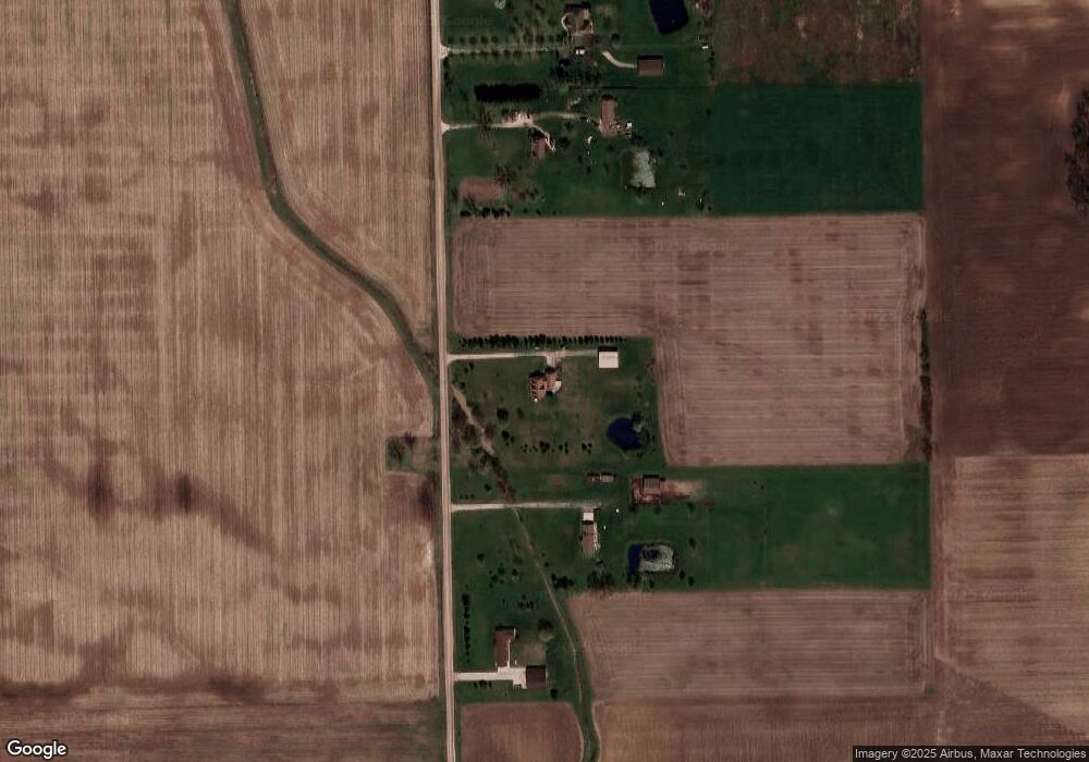
Map
Nearby Homes
- 12259 Eldora St
- 0 Maxwell Rd Unit 50201585
- 12361 Spencer Ln
- 910 Monroe St
- 12850 Crane St
- 49 James Dr
- 12751 Jones St
- 533 Center St
- 146 Virginia St
- 13498 Exeter Rd
- 9601 Exeter Rd
- 13974 Carleton West Rd
- 0 E Newburg Rd Unit 50201518
- 00 Toben Rd
- 8485 S Stoney Creek Rd
- 13680 Martinsville Rd
- 1980 Oakville Waltz Rd
- 28503 Margaret Ln Unit 1
- 0 Oakville Waltz Rd Unit G50038710
- 0000 Telegraph Rd
- 11668 Burns Rd
- 11600 Burns Rd
- 11688 Burns Rd
- 11450 Burns Rd
- 11790 Burns Rd
- 11850 Burns Rd
- 11940 Burns Rd
- 2395 Scofield Carleton Rd Unit CARLETON
- 2395 Scofield Carleton Rd
- 2325 Scofield Carleton Rd
- 2345 Scofield Carleton Rd
- 11998 Burns Rd
- 2390 Scofield Carleton Rd
- 2240 Scofield Carleton Rd
- 2220 Scofield Carleton Rd
- 11859 Maxwell Rd
- 2125 Scofield Carleton Rd
- 2196 Scofield Carleton Rd
- 11267 Maxwell Rd
- 11383 Maxwell Rd
Your Personal Tour Guide
Ask me questions while you tour the home.