1167 Bacon Fork Rd Kenbridge, VA 23944
Estimated Value: $200,000 - $324,000
3
Beds
--
Bath
799
Sq Ft
$303/Sq Ft
Est. Value
About This Home
This home is located at 1167 Bacon Fork Rd, Kenbridge, VA 23944 and is currently estimated at $242,405, approximately $303 per square foot. 1167 Bacon Fork Rd is a home located in Lunenburg County with nearby schools including Central High School.
Ownership History
Date
Name
Owned For
Owner Type
Purchase Details
Closed on
Sep 30, 2008
Sold by
Johnson Estelle M
Bought by
Johnson Anthony Bryan
Current Estimated Value
Create a Home Valuation Report for This Property
The Home Valuation Report is an in-depth analysis detailing your home's value as well as a comparison with similar homes in the area
Purchase History
| Date | Buyer | Sale Price | Title Company |
|---|---|---|---|
| Johnson Anthony Bryan | -- | -- |
Source: Public Records
Tax History
| Year | Tax Paid | Tax Assessment Tax Assessment Total Assessment is a certain percentage of the fair market value that is determined by local assessors to be the total taxable value of land and additions on the property. | Land | Improvement |
|---|---|---|---|---|
| 2025 | $660 | $200,100 | $13,700 | $186,400 |
| 2024 | $7 | $200,100 | $13,700 | $186,400 |
| 2023 | $550 | $144,700 | $9,800 | $134,900 |
| 2022 | $550 | $144,700 | $9,800 | $134,900 |
| 2021 | $550 | $144,700 | $9,800 | $134,900 |
| 2020 | $480 | $126,200 | $9,800 | $116,400 |
| 2019 | $133 | $35,100 | $10,000 | $25,100 |
| 2018 | $133 | $35,100 | $10,000 | $25,100 |
| 2017 | $140 | $36,800 | $10,000 | $26,800 |
| 2016 | $140 | $36,800 | $10,000 | $26,800 |
| 2015 | $140 | $36,800 | $10,000 | $26,800 |
| 2014 | $70 | $36,800 | $10,000 | $26,800 |
Source: Public Records
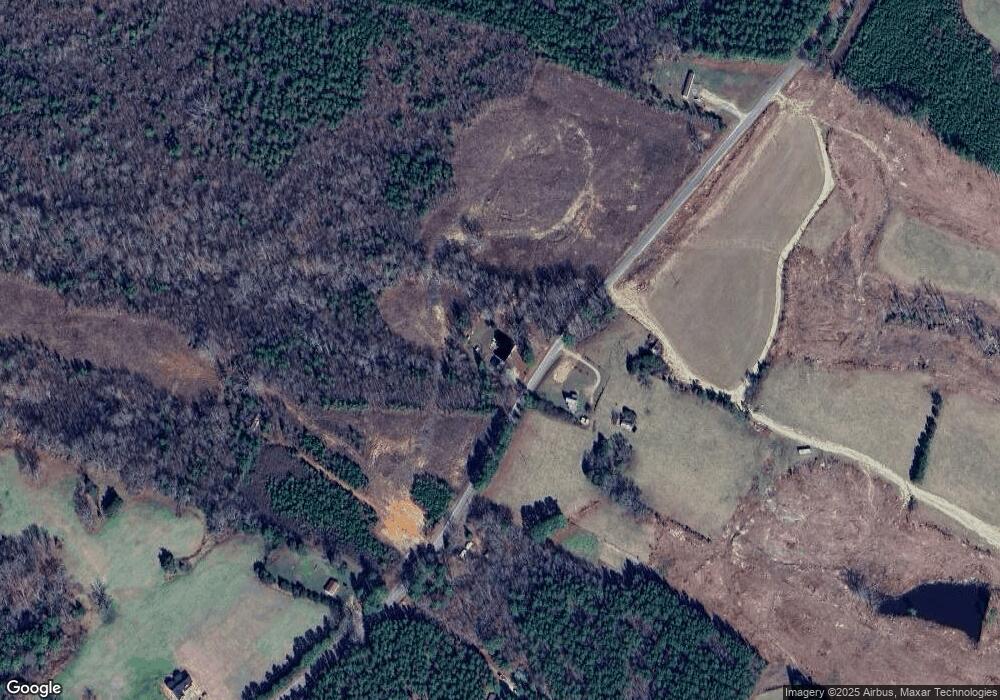
Map
Nearby Homes
- 954 Bacon Fork Rd
- 0 Poe Dr
- 0 Ellis Ln
- 3867 Longview Dr
- 5660 Longview Dr
- 5667 Longview Dr
- 5662 Longview Dr
- 5665 Longview Dr
- 00 Longview Dr
- 5664 Longview Dr
- 0 Longview Dr
- 1271 South Hill Rd
- 1052 S Hill Rd
- 2564 Reedy Branch Rd
- 870 S Hill Rd
- 942 Old Poole Rd
- Lot 2 Old Poole Rd
- 00 Old Poole Rd
- 18.62 Ac Squirrell Hollow Rd
- 684 Squirrel Hollow Rd
- 1164 Bacon Fork Rd
- 1056 Bacon Fork Rd
- 1049 Bacon Fork Rd
- 991 Bacon Fork Rd
- 1359 Bacon Fork Rd
- 1528 Bacon Fork Rd
- 1533 Bacon Fork Rd
- 1467 Bacon Fork Rd
- 1620 Bacon Fork Rd
- 1646 Bacon Fork Rd
- 1696 Bacon Fork Rd
- 1721 Bacon Fork Rd
- 0 Bacon Fork Rd
- 234 Reedy Branch Rd
- 905 Bacon Fork Rd
- 2075 Bacon Fork Rd
- 774 Reedy Branch Rd
- 3686 South Hill Rd
- 361 Poe Dr
- 3906 S Hill Rd
Your Personal Tour Guide
Ask me questions while you tour the home.