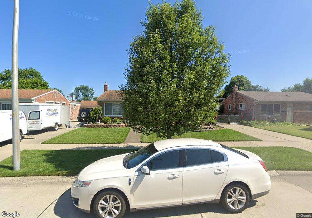
1167 Easley Dr Westland, MI 48186
Estimated Value: $205,000 - $228,000
--
Bed
1
Bath
1,014
Sq Ft
$212/Sq Ft
Est. Value
About This Home
This home is located at 1167 Easley Dr, Westland, MI 48186 and is currently estimated at $215,371, approximately $212 per square foot. 1167 Easley Dr is a home located in Wayne County with nearby schools including Alexander Hamilton Elementary School, Adams Middle School, and Benjamin Franklin Middle School.
Ownership History
Date
Name
Owned For
Owner Type
Purchase Details
Closed on
Dec 20, 2016
Sold by
Condit Lisa M
Bought by
Condit Lisa M
Current Estimated Value
Purchase Details
Closed on
Apr 27, 2006
Sold by
Mortgage Electronic Registration Systems
Bought by
Bank Of New York
Purchase Details
Closed on
Jan 24, 2006
Sold by
Mortgage Electronic Registration Systems
Bought by
Bank Of New York and Cwabs 2004-01
Purchase Details
Closed on
Sep 7, 2005
Sold by
Wolf Favetta and Wolf David
Bought by
Mortgage Electronic Registration Systems
Create a Home Valuation Report for This Property
The Home Valuation Report is an in-depth analysis detailing your home's value as well as a comparison with similar homes in the area
Home Values in the Area
Average Home Value in this Area
Purchase History
| Date | Buyer | Sale Price | Title Company |
|---|---|---|---|
| Condit Lisa M | -- | None Available | |
| Bank Of New York | -- | None Available | |
| Bank Of New York | -- | None Available | |
| Mortgage Electronic Registration Systems | $124,765 | None Available |
Source: Public Records
Tax History Compared to Growth
Tax History
| Year | Tax Paid | Tax Assessment Tax Assessment Total Assessment is a certain percentage of the fair market value that is determined by local assessors to be the total taxable value of land and additions on the property. | Land | Improvement |
|---|---|---|---|---|
| 2025 | $1,869 | $93,900 | $0 | $0 |
| 2024 | $1,869 | $89,000 | $0 | $0 |
| 2023 | $1,785 | $78,100 | $0 | $0 |
| 2022 | $2,096 | $68,800 | $0 | $0 |
| 2021 | $2,044 | $65,600 | $0 | $0 |
| 2020 | $2,021 | $60,000 | $0 | $0 |
| 2019 | $1,932 | $57,700 | $0 | $0 |
| 2018 | $1,671 | $49,700 | $0 | $0 |
| 2017 | $721 | $46,400 | $0 | $0 |
| 2016 | $1,875 | $46,100 | $0 | $0 |
| 2015 | $3,605 | $41,200 | $0 | $0 |
| 2013 | $3,492 | $35,700 | $0 | $0 |
| 2012 | $1,627 | $34,550 | $0 | $0 |
Source: Public Records
Map
Nearby Homes
- 1163 Denice St
- 32732 Glen St
- 754 Alvin St
- 32508 Avondale St
- 32411 Grandview Ave
- 0000 Barrington Ave
- 535 S Hubbard St
- 183 Daniel Ave Unit 6
- 32111 Birchwood Ave
- 32154 Melton St
- 711 S Hawthorne St
- 32155 Melton St
- 00000 Cherry Hill Rd
- 32025 Birchwood St
- 34114 Avondale St
- 32140 Palmer Rd
- 32116 Palmer Rd
- 2075 Alanson St
- 33532 Leona St
- 32332 Kalamazoo Ct
- 1155 Easley Dr
- 1179 Easley Dr Unit Bldg-Unit
- 1179 Easley Dr
- 33025 Avondale St
- 33017 Avondale St
- 33009 Avondale St
- 1143 Easley Dr
- 33037 Avondale St
- 33001 Avondale St
- 1131 Rahn St
- 1185 Easley Dr
- 1200 Easley Dr
- 33049 Avondale St
- 1127 Easley Dr
- 1135 Easley Dr
- 32951 Avondale St
- 1141 Rahn St
- 1191 Easley Dr
- 1199 Easley Dr
- 33105 Avondale St