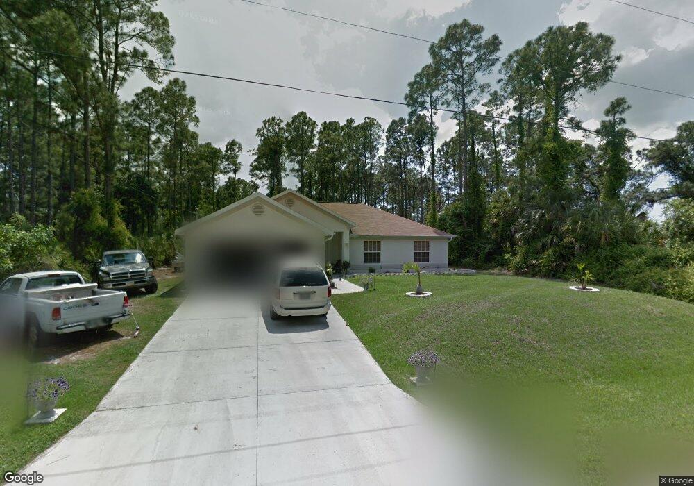
1167 Heritage Ave North Port, FL 34288
Estimated Value: $289,305 - $376,000
3
Beds
2
Baths
1,788
Sq Ft
$183/Sq Ft
Est. Value
About This Home
This home is located at 1167 Heritage Ave, North Port, FL 34288 and is currently estimated at $327,826, approximately $183 per square foot. 1167 Heritage Ave is a home located in Sarasota County with nearby schools including Toledo Blade Elementary School, North Port High School, and Woodland Middle School.
Ownership History
Date
Name
Owned For
Owner Type
Purchase Details
Closed on
Dec 22, 2005
Sold by
Adams Homes Of Northwest Florida Inc
Bought by
Sampiere Shawn and Sampiere Jennifer M
Current Estimated Value
Home Financials for this Owner
Home Financials are based on the most recent Mortgage that was taken out on this home.
Original Mortgage
$32,380
Outstanding Balance
$18,146
Interest Rate
6.22%
Mortgage Type
Credit Line Revolving
Estimated Equity
$309,680
Create a Home Valuation Report for This Property
The Home Valuation Report is an in-depth analysis detailing your home's value as well as a comparison with similar homes in the area
Home Values in the Area
Average Home Value in this Area
Purchase History
| Date | Buyer | Sale Price | Title Company |
|---|---|---|---|
| Sampiere Shawn | $161,900 | None Available |
Source: Public Records
Mortgage History
| Date | Status | Borrower | Loan Amount |
|---|---|---|---|
| Open | Sampiere Shawn | $32,380 | |
| Open | Sampiere Shawn | $129,520 |
Source: Public Records
Tax History Compared to Growth
Tax History
| Year | Tax Paid | Tax Assessment Tax Assessment Total Assessment is a certain percentage of the fair market value that is determined by local assessors to be the total taxable value of land and additions on the property. | Land | Improvement |
|---|---|---|---|---|
| 2024 | $2,207 | $136,869 | -- | -- |
| 2023 | $2,207 | $132,883 | $0 | $0 |
| 2022 | $1,735 | $104,061 | $0 | $0 |
| 2021 | $1,709 | $101,030 | $0 | $0 |
| 2020 | $1,695 | $99,635 | $0 | $0 |
| 2019 | $1,632 | $97,395 | $0 | $0 |
| 2018 | $1,501 | $95,579 | $0 | $0 |
| 2017 | $1,460 | $93,613 | $0 | $0 |
| 2016 | $1,456 | $148,100 | $5,100 | $143,000 |
| 2015 | $1,468 | $126,700 | $4,800 | $121,900 |
| 2014 | $1,445 | $88,993 | $0 | $0 |
Source: Public Records
Map
Nearby Homes
- Lot 18, Rolling Rd
- 1314 Landsdowne Ave
- 1342 Landsdowne Ave
- 2636 Rolling Rd
- 0 Kabbaby St Unit MFRC7513403
- 0 Kabbaby St Unit MFRA4662587
- 0 Rolling Rd & E Hallmark Blvd
- Lot 47 E Hallmark Blvd
- 0 Rufus Rd Unit MFRTB8429498
- 0 Rufus Rd Unit MFRA4646759
- 0 Rufus Rd Unit MFRTB8429490
- 0 Rufus Rd Unit MFRA4650449
- 0 Rufus Rd Unit MFRC7488109
- 0 E Hallmark Blvd Unit MFRC7516640
- 0 Jeannin Dr Unit MFRTB8439136
- Lot 29 Gourmet Rd
- 0 Gourmet Rd Unit A4544969
- 0 Gourmet Rd Unit MFRN6139322
- 2164 Jeannin Dr
- Lot 1 Gascom St
- 1231 Heritage Ave
- 1166 Heritage Ave
- 1139167410 Heritage Ave
- 1174 Landsdowne Ave
- 0 Rolling Rd Unit D6101864
- 0 Rolling Rd Unit D6101862
- 0 Rolling Rd Unit A4215107
- 0 Rolling Rd Unit MFRA4607276
- 0 Rolling Rd Unit MFRN6126200
- 0 Rolling Rd Unit C7223621
- 0 Rolling Rd Unit A4546149
- Lot 35 Rolling Rd
- 0 Rolling Rd Unit 222040489
- 0 Rolling Rd Unit C7449911
- 0 Rolling Rd Unit C7449491
- 0 Rolling Rd Unit C7444653
- 0 Rolling Rd Unit A4498758
- 0 Rolling Rd Unit 221019291
- 0 Rolling Rd Unit A4493129
- 0 Rolling Rd Unit R4903285