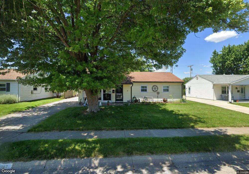
1167 Ironwood Dr Fairborn, OH 45324
Estimated Value: $149,000 - $183,000
3
Beds
1
Bath
1,008
Sq Ft
$162/Sq Ft
Est. Value
About This Home
This home is located at 1167 Ironwood Dr, Fairborn, OH 45324 and is currently estimated at $163,476, approximately $162 per square foot. 1167 Ironwood Dr is a home located in Greene County with nearby schools including Fairborn Primary School, Fairborn Intermediate School, and Fairborn Middle School.
Ownership History
Date
Name
Owned For
Owner Type
Purchase Details
Closed on
May 26, 2006
Sold by
Younkin Kristin L
Bought by
Hargett Michael R and Hargett Carol A
Current Estimated Value
Home Financials for this Owner
Home Financials are based on the most recent Mortgage that was taken out on this home.
Original Mortgage
$91,563
Outstanding Balance
$54,162
Interest Rate
6.68%
Mortgage Type
FHA
Estimated Equity
$109,314
Purchase Details
Closed on
Jun 15, 2001
Sold by
Johnson Sheryl A Rost and Johnson Sheryl A
Bought by
Younkin Kristin L
Home Financials for this Owner
Home Financials are based on the most recent Mortgage that was taken out on this home.
Original Mortgage
$84,650
Interest Rate
7.11%
Mortgage Type
VA
Create a Home Valuation Report for This Property
The Home Valuation Report is an in-depth analysis detailing your home's value as well as a comparison with similar homes in the area
Home Values in the Area
Average Home Value in this Area
Purchase History
| Date | Buyer | Sale Price | Title Company |
|---|---|---|---|
| Hargett Michael R | $93,000 | None Available | |
| Younkin Kristin L | $83,000 | -- | |
| Johnson Sheryl A Rost | $50,000 | -- |
Source: Public Records
Mortgage History
| Date | Status | Borrower | Loan Amount |
|---|---|---|---|
| Open | Hargett Michael R | $91,563 | |
| Previous Owner | Younkin Kristin L | $84,650 |
Source: Public Records
Tax History Compared to Growth
Tax History
| Year | Tax Paid | Tax Assessment Tax Assessment Total Assessment is a certain percentage of the fair market value that is determined by local assessors to be the total taxable value of land and additions on the property. | Land | Improvement |
|---|---|---|---|---|
| 2024 | $1,746 | $37,350 | $9,940 | $27,410 |
| 2023 | $1,746 | $37,350 | $9,940 | $27,410 |
| 2022 | $1,370 | $24,640 | $7,650 | $16,990 |
| 2021 | $1,390 | $24,640 | $7,650 | $16,990 |
| 2020 | $1,397 | $24,640 | $7,650 | $16,990 |
| 2019 | $1,291 | $22,840 | $7,390 | $15,450 |
| 2018 | $1,305 | $22,840 | $7,390 | $15,450 |
| 2017 | $1,276 | $22,840 | $7,390 | $15,450 |
| 2016 | $1,304 | $22,830 | $7,390 | $15,440 |
| 2015 | $1,242 | $22,830 | $7,390 | $15,440 |
| 2014 | $1,200 | $22,830 | $7,390 | $15,440 |
Source: Public Records
Map
Nearby Homes
- 1230 Ironwood Dr
- 1230 Hemlock Dr
- 0 W Garland Ave
- 1329 Ironwood Dr
- 1344 Ironwood Dr
- 234 High St Unit 236
- 1040 S Central Ave
- 1014 Victoria Ave
- 141 Locust Dr
- 1006 Victoria Ave
- 1108 Lexington Ave
- 104 E Garland Ave
- 201 State St
- 1421 Ironwood Dr
- 129 E Mclaughlin Ave
- 160 Locust Dr
- 321 Gilbert Ave
- 852 Princeton Ave
- 1365 S Maple Ave
- 273 Shade Dr