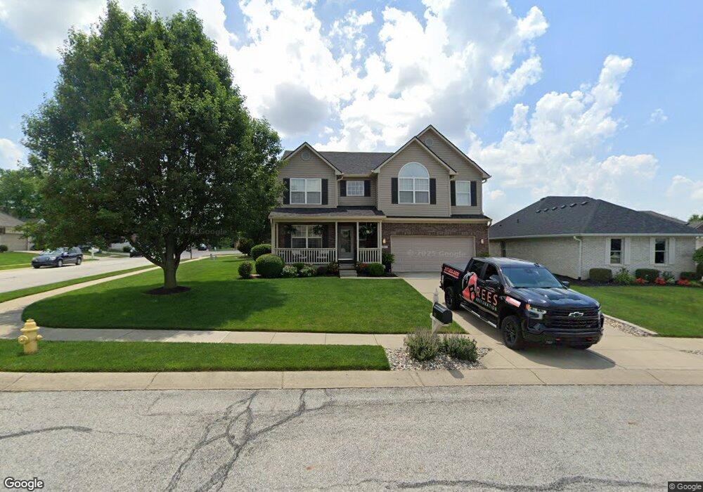
1167 Kay Dr Greenwood, IN 46142
Estimated Value: $364,000 - $411,000
4
Beds
3
Baths
3,300
Sq Ft
$116/Sq Ft
Est. Value
About This Home
This home is located at 1167 Kay Dr, Greenwood, IN 46142 and is currently estimated at $383,985, approximately $116 per square foot. 1167 Kay Dr is a home located in Johnson County with nearby schools including Westwood Elementary School, Greenwood Middle School, and Greenwood Community High School.
Ownership History
Date
Name
Owned For
Owner Type
Purchase Details
Closed on
Nov 30, 2007
Sold by
Brenton Dustin D and Brenton Erin N
Bought by
Oakes Peter M and Oakes Debra
Current Estimated Value
Home Financials for this Owner
Home Financials are based on the most recent Mortgage that was taken out on this home.
Original Mortgage
$184,480
Outstanding Balance
$116,829
Interest Rate
6.31%
Mortgage Type
New Conventional
Estimated Equity
$267,156
Purchase Details
Closed on
May 13, 2005
Sold by
Gates Homes Inc
Bought by
Brenton Dustin D and Brenton Erin N
Home Financials for this Owner
Home Financials are based on the most recent Mortgage that was taken out on this home.
Original Mortgage
$204,592
Interest Rate
6.07%
Mortgage Type
New Conventional
Purchase Details
Closed on
Jan 20, 2005
Sold by
Brenton Dustin David and Brenton Erin Nicole
Bought by
Gates Homes Inc
Create a Home Valuation Report for This Property
The Home Valuation Report is an in-depth analysis detailing your home's value as well as a comparison with similar homes in the area
Home Values in the Area
Average Home Value in this Area
Purchase History
| Date | Buyer | Sale Price | Title Company |
|---|---|---|---|
| Oakes Peter M | -- | Chicatgo Title Insurance Co | |
| Brenton Dustin D | -- | None Available | |
| Gates Homes Inc | -- | None Available |
Source: Public Records
Mortgage History
| Date | Status | Borrower | Loan Amount |
|---|---|---|---|
| Open | Oakes Peter M | $184,480 | |
| Previous Owner | Brenton Dustin D | $204,592 |
Source: Public Records
Tax History Compared to Growth
Tax History
| Year | Tax Paid | Tax Assessment Tax Assessment Total Assessment is a certain percentage of the fair market value that is determined by local assessors to be the total taxable value of land and additions on the property. | Land | Improvement |
|---|---|---|---|---|
| 2025 | $3,427 | $377,800 | $40,600 | $337,200 |
| 2024 | $3,427 | $348,400 | $41,400 | $307,000 |
| 2023 | $3,107 | $333,500 | $41,400 | $292,100 |
| 2022 | $3,263 | $326,300 | $30,600 | $295,700 |
| 2021 | $2,351 | $252,200 | $30,600 | $221,600 |
| 2020 | $2,281 | $242,500 | $30,600 | $211,900 |
| 2019 | $2,119 | $227,400 | $29,100 | $198,300 |
| 2018 | $2,116 | $226,000 | $29,100 | $196,900 |
| 2017 | $2,113 | $226,000 | $29,100 | $196,900 |
| 2016 | $1,930 | $223,000 | $29,100 | $193,900 |
| 2014 | $1,715 | $198,700 | $31,300 | $167,400 |
| 2013 | $1,715 | $193,400 | $31,300 | $162,100 |
Source: Public Records
Map
Nearby Homes
- 1127 Kay Dr
- 1117 Sarah Ct
- 599 Yorktown Rd
- 564 Parkhurst Ct
- 662 Leah Way
- 1179 Barrington Dr
- 1216 Thornmeadow Cir
- 147 Plymouth Rock Ct
- 859 Sheffield Dr
- 771 Burr Oak Dr
- 497 S Hendricks Dr
- 0 W Main St Unit MBR22035913
- 543 Schooley Dr
- 129 Back Creek Overlook
- 856 Cypress N
- 1430 Estates Dr
- 1021 Hudson Bay Dr
- 1073 Christopher Ct
- 1119 Lazio Ct
- 890 Leatherwood Dr