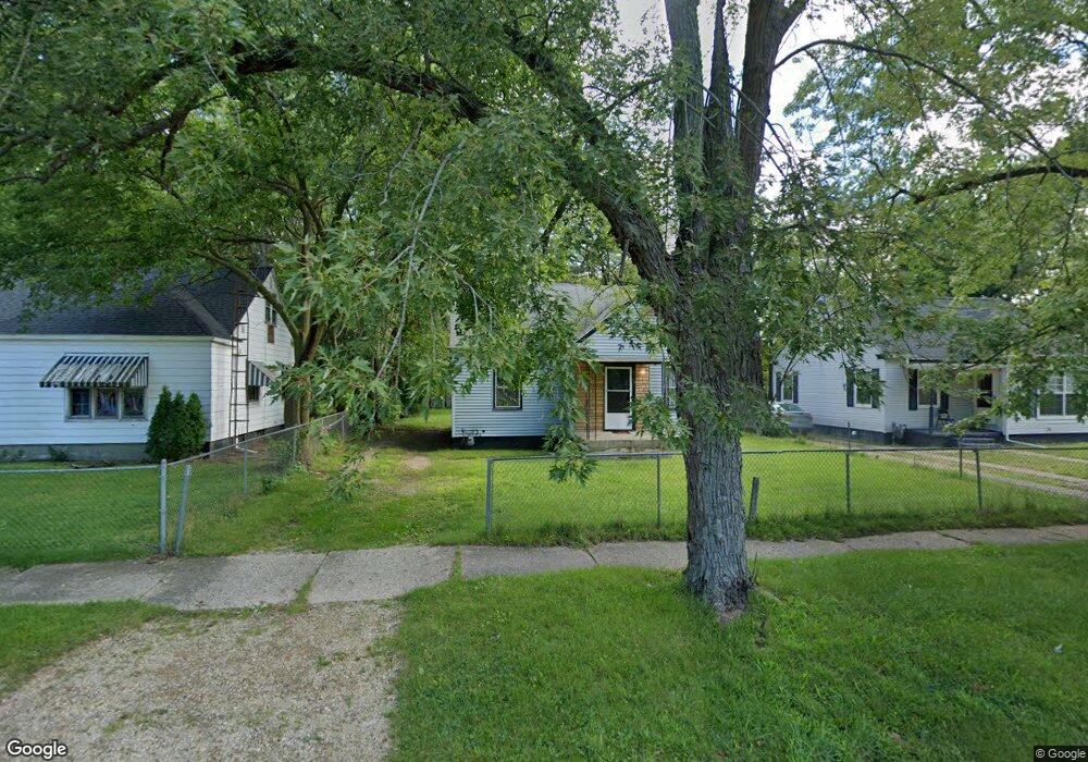
1167 Monroe St Benton Harbor, MI 49022
Estimated Value: $96,000 - $108,000
3
Beds
1
Bath
1,005
Sq Ft
$104/Sq Ft
Est. Value
About This Home
This home is located at 1167 Monroe St, Benton Harbor, MI 49022 and is currently estimated at $104,383, approximately $103 per square foot. 1167 Monroe St is a home located in Berrien County with nearby schools including Fair Plain Middle School, Benton Harbor High School, and Benton Harbor Charter School Academy.
Ownership History
Date
Name
Owned For
Owner Type
Purchase Details
Closed on
Aug 24, 2021
Sold by
Home America Fund I Lp
Bought by
Blackstar Stability Distressed Debt Fund
Current Estimated Value
Purchase Details
Closed on
Feb 28, 2013
Sold by
Home America Llc
Bought by
Home America Fund I Lp
Purchase Details
Closed on
Jun 2, 2012
Sold by
Deutsche Bank National Trust Company
Bought by
Home America Llc
Purchase Details
Closed on
Jun 16, 2011
Sold by
Wilkins James M and Wilkins Mary A
Bought by
Deutsche Bank National Trust Company
Purchase Details
Closed on
Jun 9, 1978
Create a Home Valuation Report for This Property
The Home Valuation Report is an in-depth analysis detailing your home's value as well as a comparison with similar homes in the area
Home Values in the Area
Average Home Value in this Area
Purchase History
| Date | Buyer | Sale Price | Title Company |
|---|---|---|---|
| Blackstar Stability Distressed Debt Fund | $9,189 | None Available | |
| Home America Fund I Lp | $15,960 | None Available | |
| Home America Llc | $6,000 | Heights Title Agency Inc | |
| Deutsche Bank National Trust Company | $7,200 | None Available | |
| -- | -- | -- |
Source: Public Records
Tax History
| Year | Tax Paid | Tax Assessment Tax Assessment Total Assessment is a certain percentage of the fair market value that is determined by local assessors to be the total taxable value of land and additions on the property. | Land | Improvement |
|---|---|---|---|---|
| 2025 | $983 | $32,400 | $0 | $0 |
| 2024 | $946 | $28,700 | $0 | $0 |
| 2023 | $757 | $20,300 | $0 | $0 |
| 2022 | $858 | $15,300 | $0 | $0 |
| 2021 | $864 | $15,100 | $800 | $14,300 |
| 2020 | $853 | $15,300 | $0 | $0 |
| 2019 | $842 | $13,600 | $0 | $0 |
| 2018 | $819 | $13,600 | $0 | $0 |
| 2017 | $803 | $13,000 | $0 | $0 |
| 2016 | $1,388 | $13,100 | $0 | $0 |
| 2015 | $987 | $12,600 | $0 | $0 |
| 2014 | $854 | $15,300 | $0 | $0 |
Source: Public Records
Map
Nearby Homes
- 1190 Monroe St
- 1064 Ogden Ave
- 1086 Union Ave
- 1250 Superior St
- 1342 Monroe St
- 956 Union Ave
- 1096 Pearl St
- 1309 Agard Ave
- 1132 Milton St
- 1216 Broadway
- 1238 Broadway
- V/L Mcalister
- 979 Lavette Ave
- 730 Superior St
- 180 Emery Ave
- 1045 Broadway
- 758 Pearl St
- 1593 Columbus Ave
- 410 Division St
- 1504 Michigan 139
- 1175 Monroe St
- 1159 Monroe St
- 1181 Monroe St
- 1164 Monroe St
- 1174 Monroe St
- 1153 Monroe St
- 1189 Monroe St
- 1184 Monroe St
- 1145 Monroe St
- 1172 Jennings Ave
- 1166 Jennings Ave
- 1158 Monroe St
- 1160 Jennings Ave
- 1152 Monroe St
- 1198 Monroe St
- 1139 Monroe St
- 1176 Jennings Ave
- 1144 Jennings Ave
- 1184 Jennings Ave
- 1131 Monroe St
Your Personal Tour Guide
Ask me questions while you tour the home.