1167 SW Corona Place Waldport, OR 97394
Estimated Value: $528,063 - $627,000
1
Bed
1
Bath
896
Sq Ft
$646/Sq Ft
Est. Value
About This Home
This home is located at 1167 SW Corona Place, Waldport, OR 97394 and is currently estimated at $578,516, approximately $645 per square foot. 1167 SW Corona Place is a home located in Lincoln County with nearby schools including Crestview Heights School, Waldport High and Middle School, and Angell JCC.
Ownership History
Date
Name
Owned For
Owner Type
Purchase Details
Closed on
Oct 8, 2018
Sold by
Gillette John P and Gillette Eudene A
Bought by
Perry Fred D and Perry Lori E
Current Estimated Value
Home Financials for this Owner
Home Financials are based on the most recent Mortgage that was taken out on this home.
Original Mortgage
$293,600
Interest Rate
4.5%
Mortgage Type
New Conventional
Purchase Details
Closed on
Feb 20, 2007
Sold by
B&R Leasing Llc
Bought by
Sherreitt Michael and Sherreitt Sheila M
Create a Home Valuation Report for This Property
The Home Valuation Report is an in-depth analysis detailing your home's value as well as a comparison with similar homes in the area
Home Values in the Area
Average Home Value in this Area
Purchase History
| Date | Buyer | Sale Price | Title Company |
|---|---|---|---|
| Perry Fred D | $367,000 | Western Title & Escrow | |
| Sherreitt Michael | $190,000 | First American Title Ins Co |
Source: Public Records
Mortgage History
| Date | Status | Borrower | Loan Amount |
|---|---|---|---|
| Closed | Perry Fred D | $293,600 |
Source: Public Records
Tax History Compared to Growth
Tax History
| Year | Tax Paid | Tax Assessment Tax Assessment Total Assessment is a certain percentage of the fair market value that is determined by local assessors to be the total taxable value of land and additions on the property. | Land | Improvement |
|---|---|---|---|---|
| 2024 | $3,711 | $265,280 | -- | -- |
| 2023 | $3,589 | $257,560 | $0 | $0 |
| 2022 | $3,233 | $250,060 | $0 | $0 |
| 2021 | $3,173 | $242,780 | $0 | $0 |
| 2020 | $3,118 | $235,710 | $0 | $0 |
| 2019 | $2,998 | $228,850 | $0 | $0 |
| 2018 | $2,955 | $222,190 | $0 | $0 |
| 2017 | $2,838 | $215,720 | $0 | $0 |
| 2016 | $2,626 | $209,440 | $0 | $0 |
| 2015 | $2,373 | $203,340 | $0 | $0 |
| 2014 | $2,309 | $197,420 | $0 | $0 |
| 2013 | -- | $188,190 | $0 | $0 |
Source: Public Records
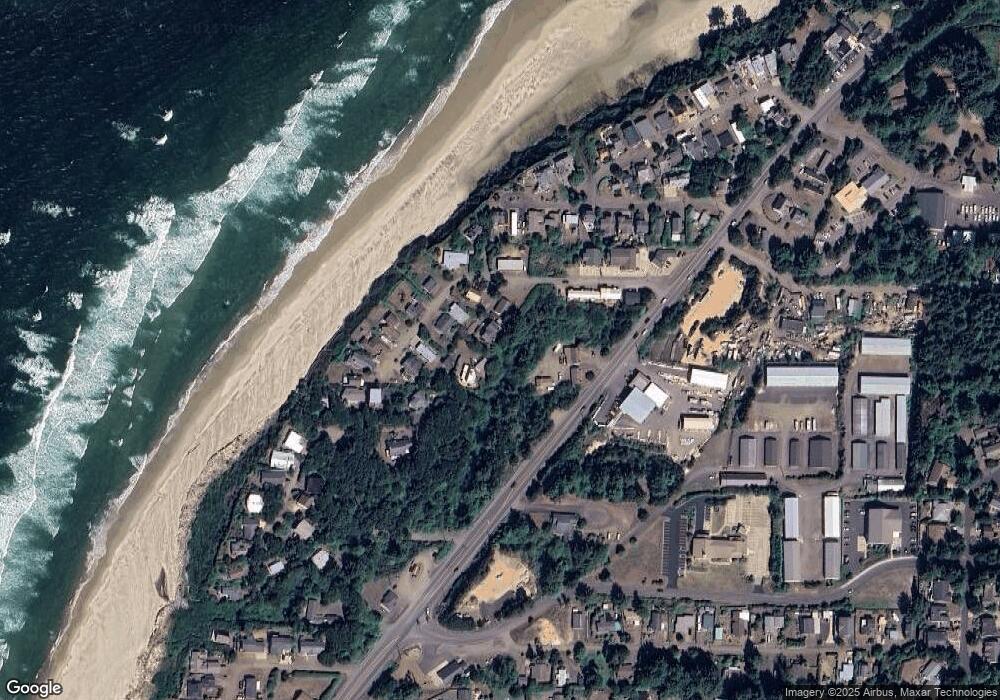
Map
Nearby Homes
- 0 SW Seawoods Terrace Unit TL 601 187755044
- TL 601 SW Seawoods Terrace
- 600 SW Pacific Coast Hwy
- 1200 Blk Sw Norwood Drive Tl0120
- 1200 Blk Norwood Dr Tl012
- 1155 SW Sailfish Loop
- 700 Blk SW Kelsie Ln
- 1590 SW Fairway Dr
- 1085 SW Norwood Dr
- 1345 SW Fairway Dr
- 960 SW Dolores Dr
- 26 NW Oceania Dr
- TL 300 SW Dolores Dr
- 925 SW Dolores Dr
- 415 SW Range Dr
- 106 NW Oceania Dr
- 105 NW Oceania Dr
- 113 NW Sunset Way
- 118 NW Oceania Dr
- 125 SW Range Dr Unit 2
- 1167 SW Corona Place
- 1167 SW Corona Place
- 1153 SW Corona Place
- 1443 SW Corona Ct
- 1185 SW Corona Place
- 1415 SW Corona Ct
- 1451 SW Corona Ct
- TL 4500 SW Corona Ct
- 1396 SW Corona Ct
- 1442 SW Corona Ct
- 1426 SW Corona Ct
- 1210 SW Pacific Coast Hwy
- 1468 SW Corona Ct
- 1410 SW Corona Ct
- 1318 SW Seawoods Terrace
- 1339 SW Corona Ct
- 1484 SW Corona Ct
- 1473 SW Adahi Ave
- 1441 SW Adahi Ave
- 1324 SW Seawoods Terrace