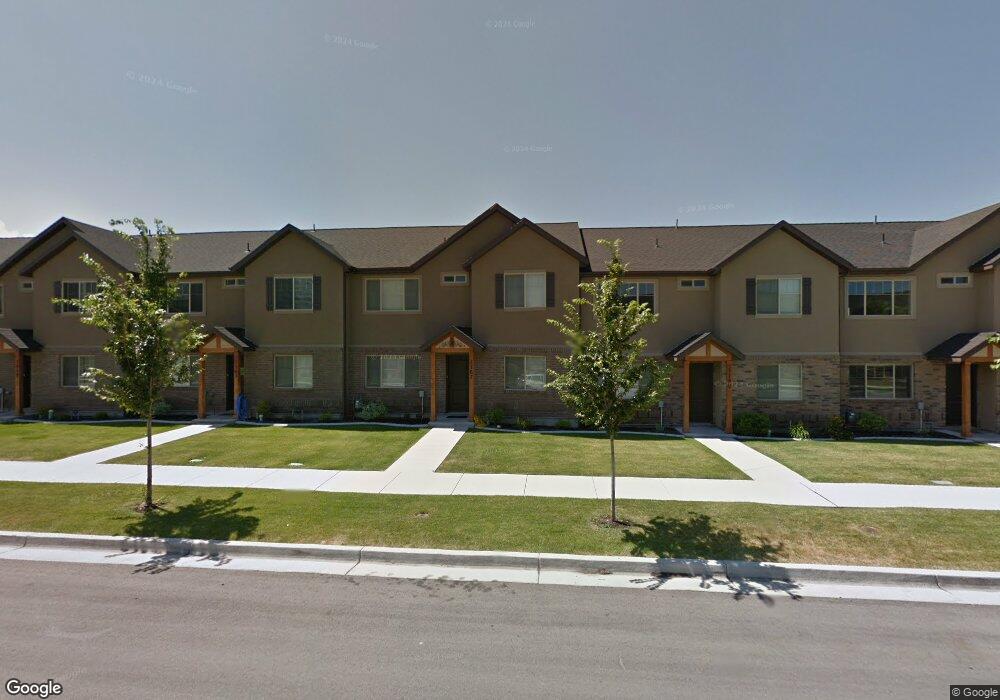
1167 W 200 S Unit 10 Springville, UT 84663
Westfields North NeighborhoodEstimated Value: $379,000 - $413,000
4
Beds
3
Baths
1,707
Sq Ft
$236/Sq Ft
Est. Value
About This Home
This home is located at 1167 W 200 S Unit 10, Springville, UT 84663 and is currently estimated at $403,355, approximately $236 per square foot. 1167 W 200 S Unit 10 is a home located in Utah County with nearby schools including Westside Elementary School, Springville Junior High School, and Springville High School.
Ownership History
Date
Name
Owned For
Owner Type
Purchase Details
Closed on
Dec 29, 2014
Sold by
Woodward Michael and Woodward Katie
Bought by
Johnson Kenneth B and Johnson Kimberly
Current Estimated Value
Home Financials for this Owner
Home Financials are based on the most recent Mortgage that was taken out on this home.
Original Mortgage
$132,000
Outstanding Balance
$101,552
Interest Rate
3.96%
Mortgage Type
New Conventional
Estimated Equity
$301,803
Purchase Details
Closed on
May 27, 2010
Sold by
River Park West Phase D Llc
Bought by
Woodward Michael and Woodward Katie
Create a Home Valuation Report for This Property
The Home Valuation Report is an in-depth analysis detailing your home's value as well as a comparison with similar homes in the area
Home Values in the Area
Average Home Value in this Area
Purchase History
| Date | Buyer | Sale Price | Title Company |
|---|---|---|---|
| Johnson Kenneth B | -- | Highland Title | |
| Woodward Michael | -- | Provo Land Title Company |
Source: Public Records
Mortgage History
| Date | Status | Borrower | Loan Amount |
|---|---|---|---|
| Open | Johnson Kenneth B | $132,000 |
Source: Public Records
Tax History Compared to Growth
Tax History
| Year | Tax Paid | Tax Assessment Tax Assessment Total Assessment is a certain percentage of the fair market value that is determined by local assessors to be the total taxable value of land and additions on the property. | Land | Improvement |
|---|---|---|---|---|
| 2025 | $2,089 | $379,200 | $55,700 | $323,500 |
| 2024 | $2,089 | $207,295 | $0 | $0 |
| 2023 | $1,951 | $195,470 | $0 | $0 |
| 2022 | $2,018 | $198,550 | $0 | $0 |
| 2021 | $1,790 | $273,700 | $41,100 | $232,600 |
| 2020 | $1,799 | $266,700 | $40,000 | $226,700 |
| 2019 | $1,724 | $260,000 | $33,800 | $226,200 |
| 2018 | $1,544 | $222,000 | $28,000 | $194,000 |
| 2017 | $1,472 | $112,255 | $0 | $0 |
| 2016 | $1,365 | $102,025 | $0 | $0 |
| 2015 | $1,285 | $97,900 | $0 | $0 |
| 2014 | $1,188 | $89,650 | $0 | $0 |
Source: Public Records
Map
Nearby Homes
- 1166 W 200 S
- 1175 W 100 S
- 42 S 1100 W
- 650 E 3600 S
- 224 S 550 W Unit B-2
- 532 W 300 S Unit B
- 745 S Harrison Dr W Unit 37
- 743 S Harrison Dr W Unit 36
- 729 S Harrison Dr
- 717 S Harrison Dr Unit 29
- 742 S Harrison Dr Unit 13
- 776 S Harrison Dr Unit 78
- 785 S Harrison Dr Unit 51
- 749 S Harrison Dr Unit 38
- 751 S Harrison Dr Unit 28
- 231 N 750 W
- 1485 W 350 N
- 883 W Hobble Creek Ct Unit 91
- 811 S 950 W Unit 127
- 835 S 950 W Unit 124
- 1167 W 200 S
- 1169 W 200 S Unit 11
- 1163 W 200 S
- 1179 W 200 S Unit 12
- 1179 W 200 S
- 1159 W 200 S
- 1159 W 200 S Unit 8
- 1151 W 200 S Unit 7
- 1183 W 200 S Unit 13
- 1183 W 200 S
- 1189 W 200 S Unit 14
- 1189 W 200 S
- 1145 W 200 S
- 1145 W 200 S Unit 6
- 1191 W 200 S
- 1191 W 200 S Unit 15
- 1166 W 200 S Unit 23
- 1139 W 200 S
- 1178 W 200 S
- 1178 W 200 S Unit 21