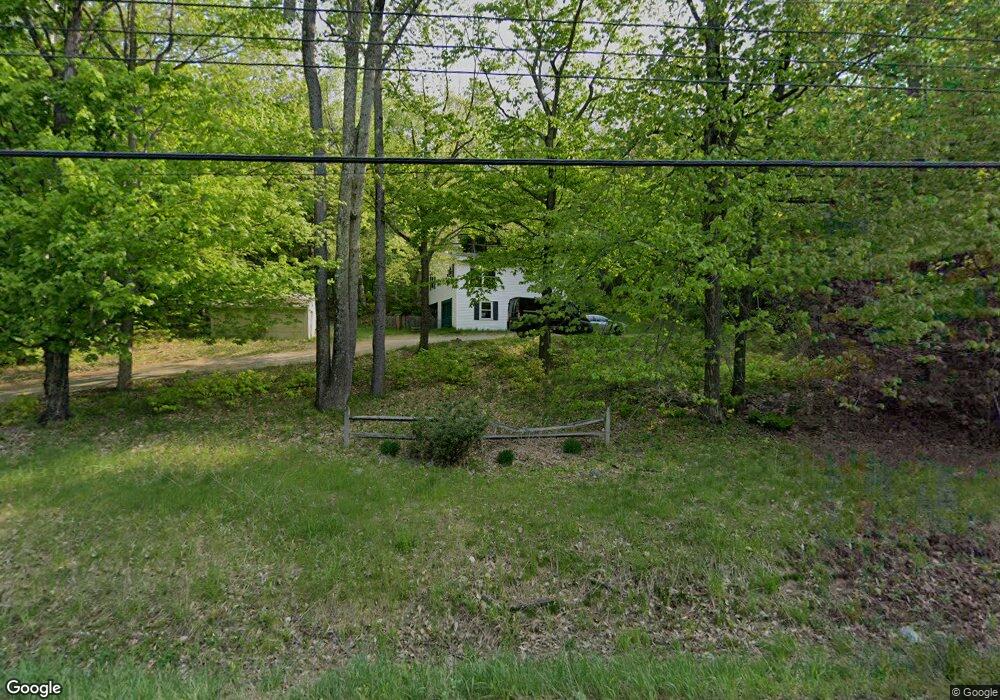
1168 Canaan Rd Skowhegan, ME 04976
Estimated Value: $225,560 - $345,000
3
Beds
1
Bath
1,792
Sq Ft
$152/Sq Ft
Est. Value
About This Home
This home is located at 1168 Canaan Rd, Skowhegan, ME 04976 and is currently estimated at $273,140, approximately $152 per square foot. 1168 Canaan Rd is a home located in Somerset County.
Ownership History
Date
Name
Owned For
Owner Type
Purchase Details
Closed on
Feb 5, 2007
Sold by
Meader Nicholas A and Hilton Nicole L
Bought by
Bailey Matthew E
Current Estimated Value
Home Financials for this Owner
Home Financials are based on the most recent Mortgage that was taken out on this home.
Original Mortgage
$92,150
Outstanding Balance
$55,194
Interest Rate
6.16%
Mortgage Type
Purchase Money Mortgage
Estimated Equity
$217,946
Purchase Details
Closed on
Oct 13, 2005
Sold by
Roderick Elizabeth R
Bought by
Thompson Denise M
Home Financials for this Owner
Home Financials are based on the most recent Mortgage that was taken out on this home.
Original Mortgage
$84,048
Interest Rate
5.84%
Mortgage Type
Purchase Money Mortgage
Purchase Details
Closed on
Sep 30, 2005
Sold by
Thompson Denise M
Bought by
Meader Nicholas A and Hilton Nicole L
Home Financials for this Owner
Home Financials are based on the most recent Mortgage that was taken out on this home.
Original Mortgage
$84,048
Interest Rate
5.84%
Mortgage Type
Purchase Money Mortgage
Create a Home Valuation Report for This Property
The Home Valuation Report is an in-depth analysis detailing your home's value as well as a comparison with similar homes in the area
Home Values in the Area
Average Home Value in this Area
Purchase History
| Date | Buyer | Sale Price | Title Company |
|---|---|---|---|
| Bailey Matthew E | -- | -- | |
| Thompson Denise M | -- | -- | |
| Meader Nicholas A | -- | -- |
Source: Public Records
Mortgage History
| Date | Status | Borrower | Loan Amount |
|---|---|---|---|
| Open | Bailey Matthew E | $92,150 | |
| Previous Owner | Meader Nicholas A | $84,048 | |
| Previous Owner | Meader Nicholas A | $10,000 |
Source: Public Records
Tax History Compared to Growth
Tax History
| Year | Tax Paid | Tax Assessment Tax Assessment Total Assessment is a certain percentage of the fair market value that is determined by local assessors to be the total taxable value of land and additions on the property. | Land | Improvement |
|---|---|---|---|---|
| 2024 | $2,441 | $135,100 | $35,400 | $99,700 |
| 2023 | $2,394 | $135,100 | $35,400 | $99,700 |
| 2022 | $1,902 | $108,800 | $25,000 | $83,800 |
| 2021 | $1,796 | $97,900 | $25,000 | $72,900 |
| 2020 | $1,638 | $91,000 | $25,000 | $66,000 |
| 2019 | $1,569 | $91,000 | $25,000 | $66,000 |
| 2018 | $1,656 | $91,000 | $25,000 | $66,000 |
| 2017 | $1,820 | $91,000 | $25,000 | $66,000 |
| 2016 | $1,340 | $70,400 | $14,200 | $56,200 |
| 2015 | $1,288 | $70,400 | $14,200 | $56,200 |
| 2014 | $1,207 | $70,400 | $14,200 | $56,200 |
| 2013 | $1,155 | $70,400 | $14,200 | $56,200 |
Source: Public Records
Map
Nearby Homes
- 1242 Canaan Rd
- 249 W Shore Rd
- 1040 Canaan Rd
- 117 Lambert Rd
- M7 L104-9 104-10
- M7 L104-1 Lake George
- 189 Pinnacle Rd
- Lot 4 Oak Pond Rd
- Lot 3 Oak Pond Rd
- Lot 5 Oak Pond Rd
- Lot 2 Oak Pond Rd
- Lot 1 Oak Pond Rd
- Lot 7 Oak Pond Rd
- Lot 6 Oak Pond Rd
- 233 Eaton Mountain Rd
- 253 Eaton Mountain Rd
- 236 Main St
- 000 E Ridge Rd
- 289 Main St
- 22 Tobey Rd
- 1174 Canaan Rd
- 1160 Canaan Rd
- 0 W Shore Rd Unit 1570861
- 0 W Shore Rd Unit 1047207
- 0 W Shore Rd Unit 1153888
- 0 W Shore Rd Unit 1485396
- 0 W Shore Rd Unit 1524936
- 0 West Shore
- M11 L15-2 W Shore Rd
- Lot 15-2 W Shore Rd
- 15-2 W Shore Rd
- 1136 Canaan Rd
- 6 Rocky Dr
- 9 W Shore Rd
- 1213 Canaan Rd
- 1216 Canaan Rd
- 1120 Canaan Rd
- 100 Berry Dr
- 0 Foster Hill Rd
- 1074 Canaan Rd