1168 Mill Hill Rd Southport, CT 06890
Estimated Value: $1,286,000 - $2,210,000
4
Beds
4
Baths
3,716
Sq Ft
$507/Sq Ft
Est. Value
About This Home
This home is located at 1168 Mill Hill Rd, Southport, CT 06890 and is currently estimated at $1,883,899, approximately $506 per square foot. 1168 Mill Hill Rd is a home located in Fairfield County with nearby schools including Mill Hill School, Roger Ludlowe Middle School, and Fairfield Ludlowe High School.
Ownership History
Date
Name
Owned For
Owner Type
Purchase Details
Closed on
Jun 17, 1996
Sold by
Gray Ruth E
Bought by
Graham William Cl and Graham Caroline S
Current Estimated Value
Home Financials for this Owner
Home Financials are based on the most recent Mortgage that was taken out on this home.
Original Mortgage
$268,000
Interest Rate
7.97%
Mortgage Type
Unknown
Create a Home Valuation Report for This Property
The Home Valuation Report is an in-depth analysis detailing your home's value as well as a comparison with similar homes in the area
Home Values in the Area
Average Home Value in this Area
Purchase History
| Date | Buyer | Sale Price | Title Company |
|---|---|---|---|
| Graham William Cl | $335,000 | -- | |
| Graham William Cl | $335,000 | -- |
Source: Public Records
Mortgage History
| Date | Status | Borrower | Loan Amount |
|---|---|---|---|
| Open | Graham William Cl | $425,000 | |
| Closed | Graham William Cl | $505,000 | |
| Closed | Graham William Cl | $268,000 |
Source: Public Records
Tax History Compared to Growth
Tax History
| Year | Tax Paid | Tax Assessment Tax Assessment Total Assessment is a certain percentage of the fair market value that is determined by local assessors to be the total taxable value of land and additions on the property. | Land | Improvement |
|---|---|---|---|---|
| 2025 | $23,478 | $826,980 | $402,850 | $424,130 |
| 2024 | $23,073 | $826,980 | $402,850 | $424,130 |
| 2023 | $22,750 | $826,980 | $402,850 | $424,130 |
| 2022 | $22,527 | $826,980 | $402,850 | $424,130 |
| 2021 | $22,312 | $826,980 | $402,850 | $424,130 |
| 2020 | $21,789 | $813,330 | $398,370 | $414,960 |
| 2019 | $21,789 | $813,330 | $398,370 | $414,960 |
| 2018 | $21,439 | $813,330 | $398,370 | $414,960 |
| 2017 | $21,000 | $813,330 | $398,370 | $414,960 |
| 2016 | $20,699 | $813,330 | $398,370 | $414,960 |
| 2015 | $20,768 | $837,760 | $427,770 | $409,990 |
| 2014 | $19,936 | $817,040 | $427,770 | $389,270 |
Source: Public Records
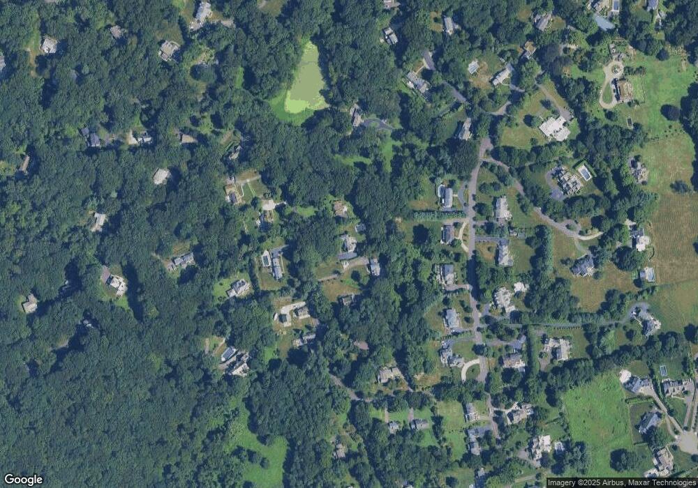
Map
Nearby Homes
- 1135 Mill Hill Rd
- 11 Twin Brooks Ln
- 844 Mill Hill Terrace
- 647 Bronson Rd
- 260 Range Rd
- 53 Hilltop Dr
- 214 Henry St
- 232 Pell Meadow Dr
- 172 Sycamore Ln
- 688 Hulls Farm Rd
- 153 Pease Ave
- 52 Glover St
- 254 Sherwood Farm Rd
- 56 Southport Woods Dr
- 160 Hunter Rd
- 1001 Hulls Farm Rd
- 1135 Hulls Farm Rd
- 1477 Mill Plain Rd
- 245 Taunton Rd
- 2683 Bronson Rd
- 1200 Mill Hill Rd
- 1158 Mill Hill Rd
- 1116 Mill Hill Rd
- 1215 Mill Hill Rd
- 1161 Mill Hill Rd
- 540 Warner Hill Rd
- 1060 Mill Hill Rd
- 1101 Mill Hill Rd
- 630 Warner Hill Rd
- 1251 Mill Hill Rd
- 600 Warner Hill Rd
- 278 Sherwood Dr
- 1157 Mill Hill Rd
- 680 Warner Hill Rd
- 1285 Mill Hill Rd
- 296 Sherwood Dr
- 535 Warner Hill Rd
- 1022 Mill Hill Rd
- 585 Warner Hill Rd
- 621 Warner Hill Rd