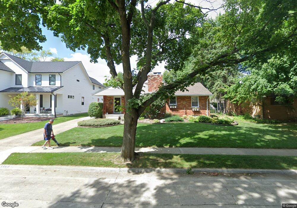
1168 Simpson St Plymouth, MI 48170
Estimated Value: $504,813 - $584,000
3
Beds
1
Bath
1,500
Sq Ft
$366/Sq Ft
Est. Value
About This Home
This home is located at 1168 Simpson St, Plymouth, MI 48170 and is currently estimated at $548,453, approximately $365 per square foot. 1168 Simpson St is a home located in Wayne County with nearby schools including Canton High School, Smith Elementary School, and West Middle School.
Ownership History
Date
Name
Owned For
Owner Type
Purchase Details
Closed on
Mar 1, 2012
Sold by
Madrigal Kenneth J and Madrigal Debra L
Bought by
Madrigal Kenneth J and Madrigal Debra L
Current Estimated Value
Purchase Details
Closed on
Jun 3, 2011
Sold by
The Lori Deleeuw Living Trust
Bought by
Madrigal Kenneth J and Madrigal Debra L
Purchase Details
Closed on
Apr 7, 2008
Sold by
Robinson Lori
Bought by
The Lori Robinson Living Trust
Purchase Details
Closed on
Feb 27, 2007
Sold by
Lockhart Diane M Collin and Collin Diane M
Bought by
Robinson Lori
Purchase Details
Closed on
Mar 23, 2001
Sold by
Bentley Adele M
Bought by
Collin Diane M
Purchase Details
Closed on
Jul 29, 1994
Sold by
Eckhout Joseph B
Bought by
Christopher T and Bentley Adele M
Home Financials for this Owner
Home Financials are based on the most recent Mortgage that was taken out on this home.
Original Mortgage
$94,400
Interest Rate
8.72%
Mortgage Type
New Conventional
Create a Home Valuation Report for This Property
The Home Valuation Report is an in-depth analysis detailing your home's value as well as a comparison with similar homes in the area
Home Values in the Area
Average Home Value in this Area
Purchase History
| Date | Buyer | Sale Price | Title Company |
|---|---|---|---|
| Madrigal Kenneth J | -- | None Available | |
| Madrigal Kenneth J | $224,900 | Embassy Title Agency | |
| The Lori Robinson Living Trust | -- | None Available | |
| Robinson Lori | $238,000 | None Available | |
| Collin Diane M | $236,000 | -- | |
| Christopher T | $118,000 | -- |
Source: Public Records
Mortgage History
| Date | Status | Borrower | Loan Amount |
|---|---|---|---|
| Previous Owner | Christopher T | $94,400 |
Source: Public Records
Tax History Compared to Growth
Tax History
| Year | Tax Paid | Tax Assessment Tax Assessment Total Assessment is a certain percentage of the fair market value that is determined by local assessors to be the total taxable value of land and additions on the property. | Land | Improvement |
|---|---|---|---|---|
| 2025 | $6,012 | $270,600 | $0 | $0 |
| 2024 | $6,012 | $248,600 | $0 | $0 |
| 2023 | $5,856 | $222,800 | $0 | $0 |
| 2022 | $6,207 | $208,000 | $0 | $0 |
| 2021 | $6,015 | $205,600 | $0 | $0 |
| 2020 | $5,999 | $194,100 | $0 | $0 |
| 2019 | $5,282 | $188,200 | $0 | $0 |
| 2018 | $5,130 | $183,200 | $0 | $0 |
| 2017 | $1,087 | $184,000 | $0 | $0 |
| 2016 | $5,589 | $175,600 | $0 | $0 |
| 2015 | $12,801 | $154,580 | $0 | $0 |
| 2013 | $12,401 | $129,430 | $0 | $0 |
| 2011 | -- | $118,880 | $0 | $0 |
Source: Public Records
Map
Nearby Homes
- 1078 Simpson St
- 1338 S Harvey St
- 1125 Sutherland St
- 844 Ross St
- 1199 S Sheldon Rd
- 9405 Northern Ave
- 9453 Brookline Ave
- 775 Deer Ct Unit 104
- 770 Deer St Unit 204
- 44571 Clare Blvd
- 9264 Brookline Ave
- 638 S Harvey St
- 44736 Lynn Dr
- 44703 Erin Dr
- 44750 Erin Dr Unit 40
- 44872 Lynn Dr
- 9205 Rocker Ave
- 44877 Erin Dr Unit 2
- 543 Deer St
- 9060 N Sheldon Rd
- 1146 Simpson St
- 1190 Simpson St
- 1122 Simpson St
- 1167 Ross St
- 1149 Ross St
- 1189 Ross St
- 1167 Simpson St
- 1127 Ross St
- 1098 Simpson St
- 1193 Simpson St
- 1143 Simpson St
- 1121 Simpson St
- 1105 Ross St
- 1099 Simpson St
- 1083 Ross St
- 1400 Mckinley St
- 1402 Mckinley St
- 1404 Mckinley St
- 1406 Mckinley St
- 1408 Mckinley St