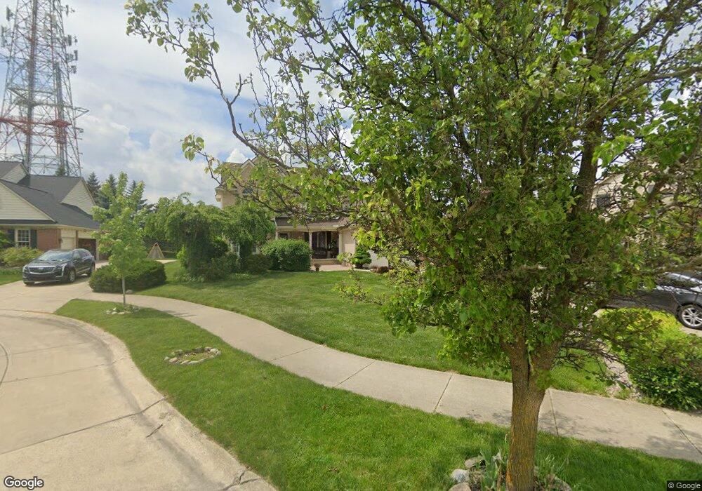
11681 Currin Ct Plymouth, MI 48170
Estimated Value: $677,591 - $723,000
--
Bed
1
Bath
3,289
Sq Ft
$214/Sq Ft
Est. Value
About This Home
This home is located at 11681 Currin Ct, Plymouth, MI 48170 and is currently estimated at $702,398, approximately $213 per square foot. 11681 Currin Ct is a home located in Wayne County with nearby schools including Canton High School, Isbister Elementary School, and Salem High School.
Ownership History
Date
Name
Owned For
Owner Type
Purchase Details
Closed on
Sep 20, 2024
Sold by
Ghannam Sara Mariam and Ghannam Lulu Najah
Bought by
Alley Samira and Ghannam Lulu Najah
Current Estimated Value
Purchase Details
Closed on
Jun 6, 2014
Sold by
Ghannam Sara Mariam and Ghannam Lulu Najah
Bought by
Ghannam Sara Mariam
Purchase Details
Closed on
Mar 25, 2013
Sold by
Alley Samira
Bought by
Ghannam Sara Mariam and Ghannam Lulu Najah
Purchase Details
Closed on
Jun 13, 2012
Sold by
Ghannam Zuhair and Alley Samira
Bought by
Alley Samira
Purchase Details
Closed on
Feb 26, 2001
Sold by
Woodward Poplar Llc
Bought by
Alley Samira
Create a Home Valuation Report for This Property
The Home Valuation Report is an in-depth analysis detailing your home's value as well as a comparison with similar homes in the area
Home Values in the Area
Average Home Value in this Area
Purchase History
| Date | Buyer | Sale Price | Title Company |
|---|---|---|---|
| Alley Samira | -- | None Listed On Document | |
| Ghannam Sara Mariam | -- | None Available | |
| Ghannam Sara Mariam | -- | None Available | |
| Alley Samira | -- | None Available | |
| Alley Samira | $369,460 | -- |
Source: Public Records
Tax History Compared to Growth
Tax History
| Year | Tax Paid | Tax Assessment Tax Assessment Total Assessment is a certain percentage of the fair market value that is determined by local assessors to be the total taxable value of land and additions on the property. | Land | Improvement |
|---|---|---|---|---|
| 2025 | $5,817 | $321,000 | $0 | $0 |
| 2024 | $5,817 | $313,200 | $0 | $0 |
| 2023 | $5,542 | $267,500 | $0 | $0 |
| 2022 | $7,370 | $228,700 | $0 | $0 |
| 2021 | $7,150 | $221,900 | $0 | $0 |
| 2019 | $6,936 | $215,750 | $0 | $0 |
| 2018 | $4,743 | $204,480 | $0 | $0 |
| 2017 | $3,371 | $53,100 | $0 | $0 |
| 2016 | $6,374 | $202,900 | $0 | $0 |
| 2015 | $20,465 | $211,860 | $0 | $0 |
| 2013 | $18,177 | $181,770 | $0 | $0 |
| 2012 | -- | $168,690 | $60,570 | $108,120 |
Source: Public Records
Map
Nearby Homes
- 11641 Chandler Dr
- 9875 Ann Arbor Trail
- 0 E Ann Arbor Trail Unit 20251012055
- 101 S Unit 118
- 50501 Elmwood Ct Unit 11
- 50520 Elmwood Ct
- 50536 Cottonwood Ct
- 00 N Territorial Rd
- 50492 Beechwood Ct
- 50511 Beechwood Ct Unit 1112
- 49238 Plum Tree Dr
- 0000 N Territorial Rd
- 50157 E Fellows Creek Ct
- 49667 Draper Cir Unit 74
- 50045 E Fellows Creek Ct
- 49451 Plymouth Way Unit 26
- 9377 Pineview Dr
- 8542 Newbury Ct N Unit 94
- 9539 Hillcrest Dr
- 4745 Napier Ct
- 11719 Currin Ct
- 11643 Currin Ct
- 51173 Weston Dr
- 11757 Currin Ct
- 51199 Weston Dr
- 11605 Currin Ct
- 11606 Currin Ct
- 51227 Weston Dr
- 11728 Currin Ct
- 51091 Weston Dr
- 51250 Weston Dr
- 51370 Weston Dr
- 51166 Weston Dr
- 51130 Powell Rd
- 51253 Weston Dr
- 47492 Verona Ct
- 51140 Weston Dr
- 11697 Chandler Dr
- 11667 Chandler Dr
- 11725 Chandler Dr